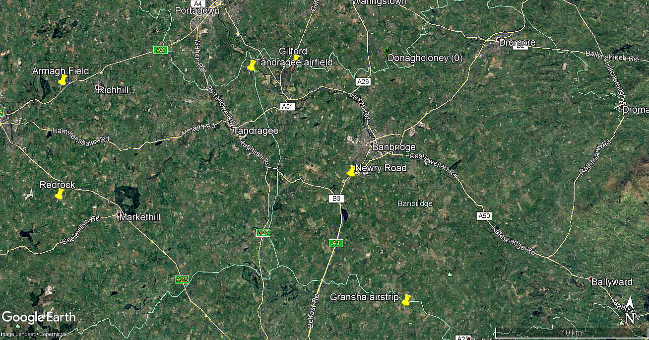
Newry Road
NEWRY ROAD: Private airstrip (Aka LOUGHBRICKLAND and BANBRIDGE)
Note: Both of these pictures were obtained from Google Earth ©
Location: Just E of the A1, about 1nm NNE of Loughbrickland village and roughly 1.5nm SSW of Banbridge town centre
Period of operation: Unknown? 2010 certainly
Runway: 17/35 250 grass
NOTES: We have Mr Graham Frost, a great friend of this 'Guide' to thank for finding this location.
Sadly, Google Earth images tend to drop off in Northern Ireland prior to about 2015 and the only picture of this strip was found dated 2010. No images of this area, prior to 2010 were available in May 2021. However, they were plentiful later and no evidence of this airstrip was visible.
In the 2010 picture no obvious evidence of a hangar can be seen, so presumably this strip was for use by visiting pilots with microlight types?
As always in this 'Guide', if anybody can kindly offer advice, this will be most welcome.
We'd love to hear from you, so please scroll down to leave a comment!
Leave a comment ...
Copyright (c) UK Airfield Guide


