Newton House
NEWTON HOUSE: Private airstrip
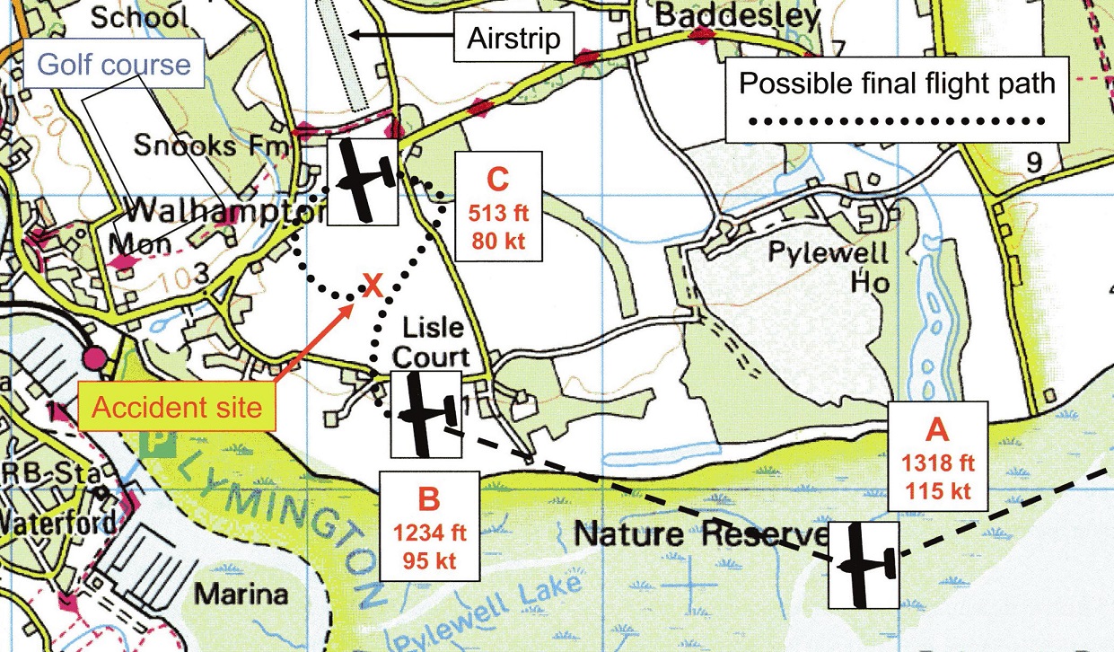
Note: This map was copied from the AAIB Bulletin report EW/C2005/10/01, and the accident under investigation did not involve this airstrip. Although, without much doubt, this was where that hapless pilot intended to land.
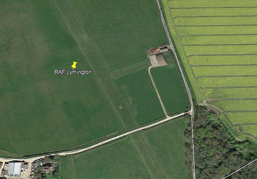
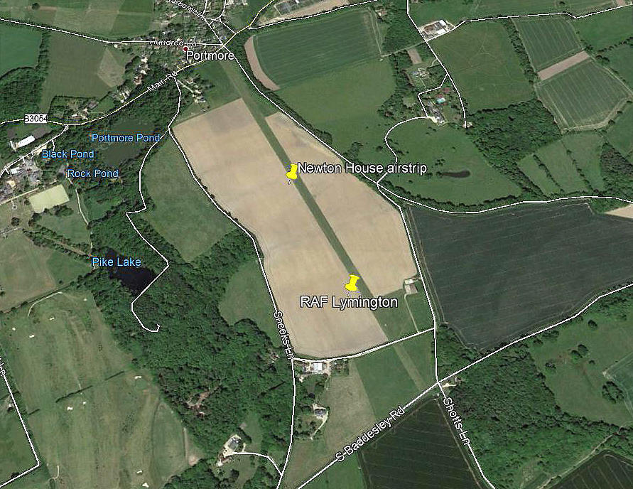
Notes: All three of these pictures were obtained from Google Earth ©
Location: Roughly 1nm ENE of Lymington
Period of operation: From the early 2000s (?) to -
Runway: 15/33 1170 grass
NOTES: Partly on the site of the WW2 ALG (Advanced Landing Ground) used by the USAAF. For which see entry in LYMINGTON FLYING SITES.
What seems rather puzzling, seeing that this runway is marked with an 'X' at both ends, (denoting that it is disused), is why it is still kept in such good condition? If anybody can kindly offer advice, this will be most welcome.
We'd love to hear from you, so please scroll down to leave a comment!
Leave a comment ...
Copyright (c) UK Airfield Guide


