Oronsay
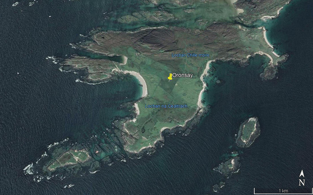
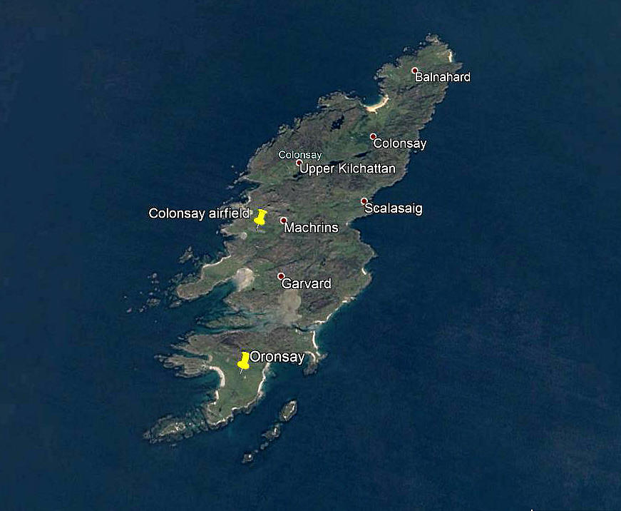
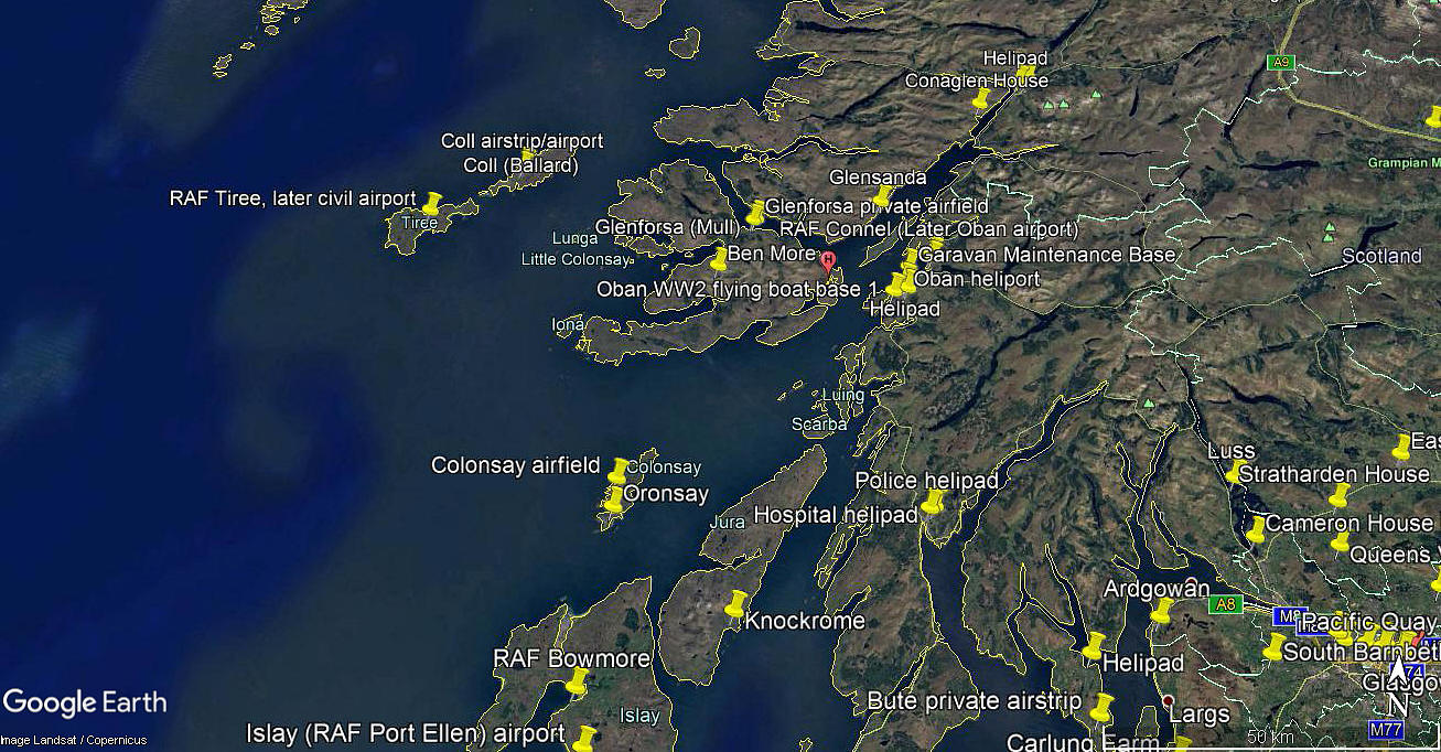
Note: This map gives the location of an airfield shown on modern maps. Could anybody kindly offer advice?
ORONSAY: Temporary landing site
Note: All three of these pictures were obtained from Google Earth ©
Period of operation: 1950s to 1980s
NOTES: On modern maps an airfield symbol can be found more or less in the centre of Oronsay, but no such airfield appears to exist in any ‘Flight Guides’ to pilots. The most probable explanation is that this site was once a recognised Air Ambulance destination?
We'd love to hear from you, so please scroll down to leave a comment!
Leave a comment ...
Copyright (c) UK Airfield Guide


