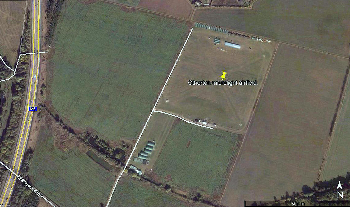
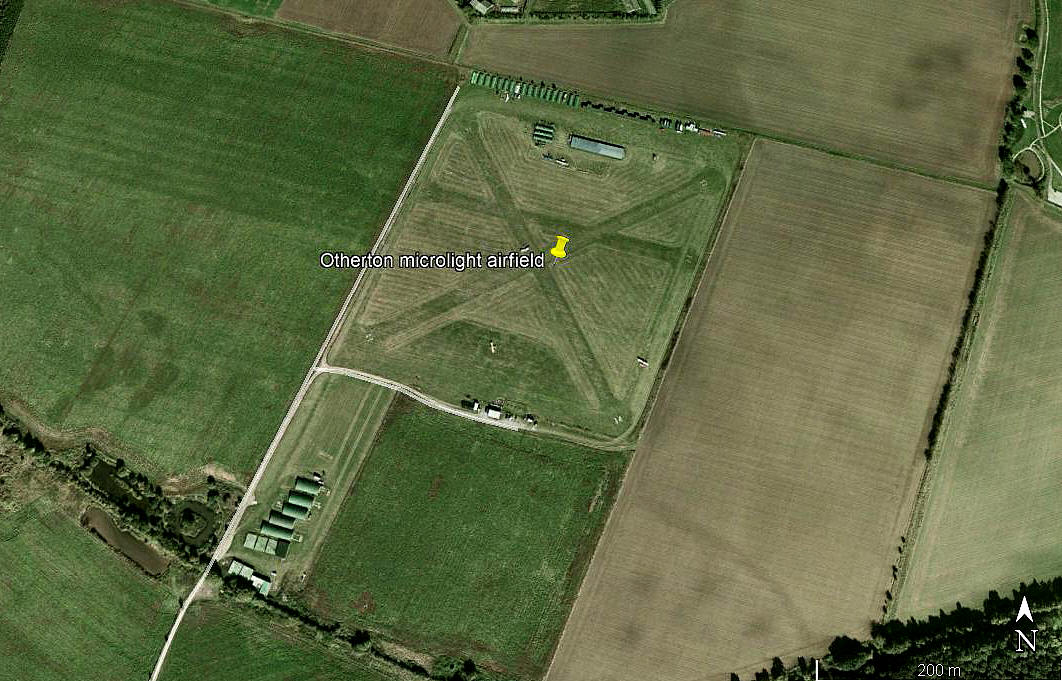
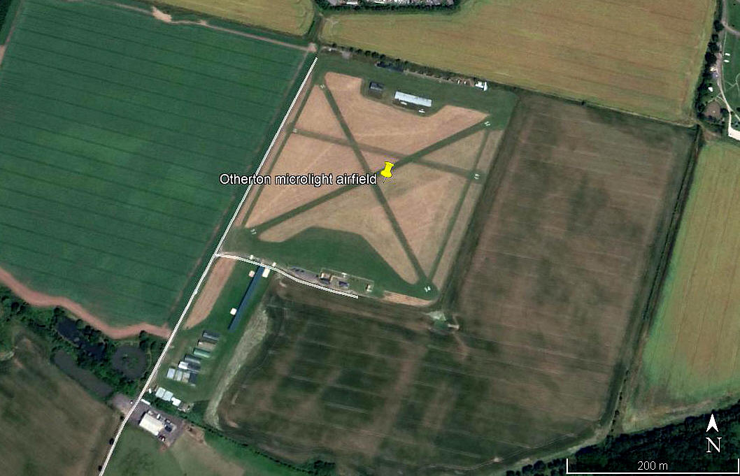
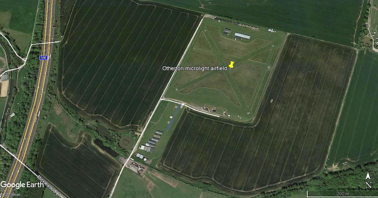
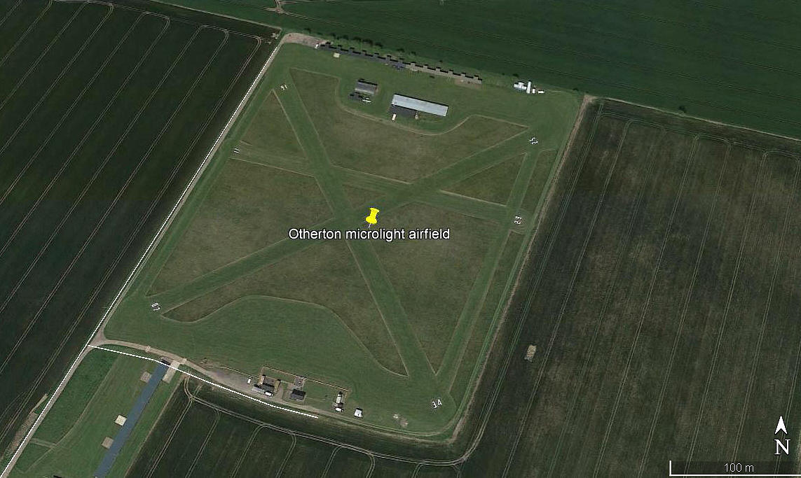
Otherton
OTHERTON: Private airfield mainly used by microlight aircraft
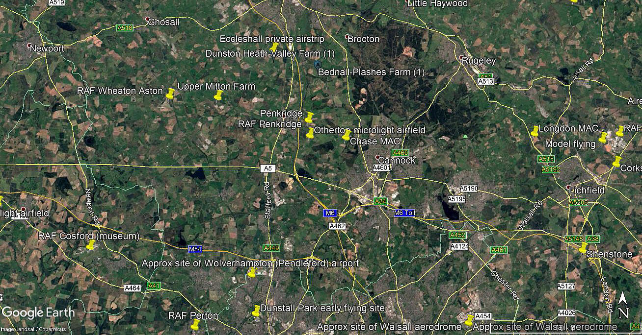
Note: All six of these pictures were obtained from Google Earth ©
Operated by: 2000: Staffordshire Microlight Centre
2001: Staffordshire Aero Club
Location: 1.5nm north and east of junction 12 M6, 1nm SE of Penkridge
Period of operation: Established in the 1990s? Still operating -
Note: This map is reproduced with the kind permission of Pooleys Flight Equipment Ltd. Copyright Robert Pooley 2014.
Runways: 2000: 16/34 300x15 grass 11/29 240x15 grass
07/25 330x15 grass
2001: 16/34 340x15 grass 11/29 220x15 grass
07/25 340x15 grass
2004: 16/34 was given as 330x15 in a AAIB report
NOTES: I have included the information regarding the runways for both 2000 and 2001 simply to illustrate one or two aspects. Firstly that, depending on how they have been mowed, grass runways can often vary somewhat over the years. Secondly that information published in various pilots flight guides cannot be relied upon to be accurate. Which is the case here I cannot say, and indeed, perhaps both aspects are correct in this case.
I have opted to ask permission from Pooleys Flight Equipment to generally use their maps in this 'Guide' simply because, over many years experience, I have normally found them to be accurate. However, as I am sure they will be the first to admit, despite rigorous checking, they, (like me also), are highly dependent on others furnishing accurate information.
We'd love to hear from you, so please scroll down to leave a comment!
Leave a comment ...
Copyright (c) UK Airfield Guide


