Otterburn Hall Hotel
OTTERBURN HALL HOTEL: Civil Landing Ground
Operated by: Otterburn Hotel Ltd, Victoria Buildings, 46 Grainger Street, Newcastle-upon-Tyne
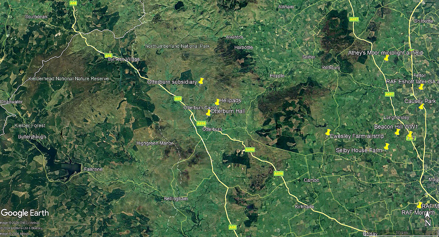
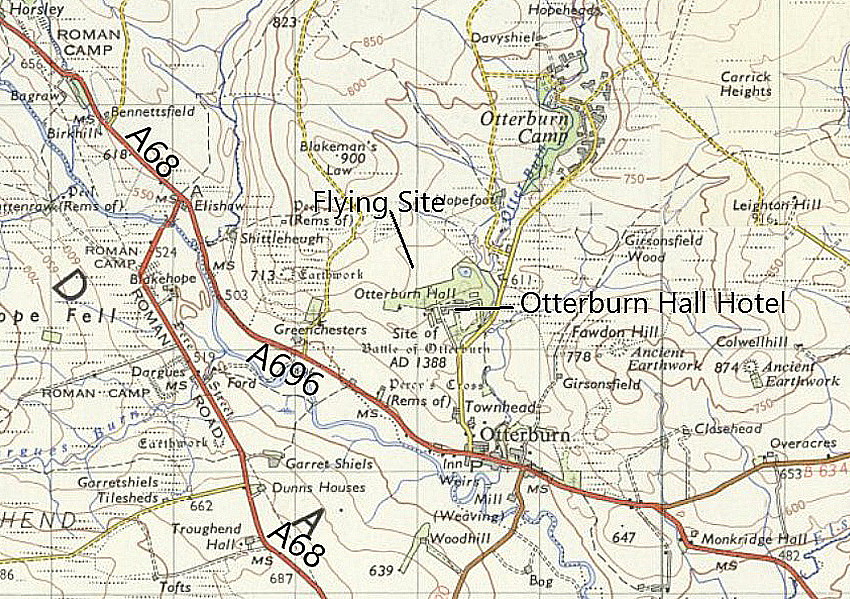
Location: According to the hotel web-site, which was still in business into the 2000s, “0.8 miles N of Otterburn Hall”. However, it appears that by 2016 at least, the facilty had been 'permanently closed'.
Landing Ground Period of Operation: 1930s only?
Runway(s): Max landing run: 393 grass (some other sources state: 384 metres)
Note: See 'Comments' below. 420 yards is 384 metres.
A MICHAEL T HOLDER GALLERY
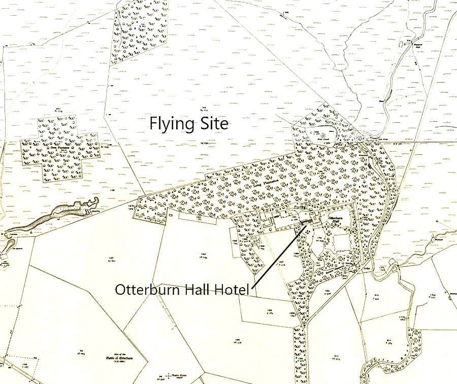
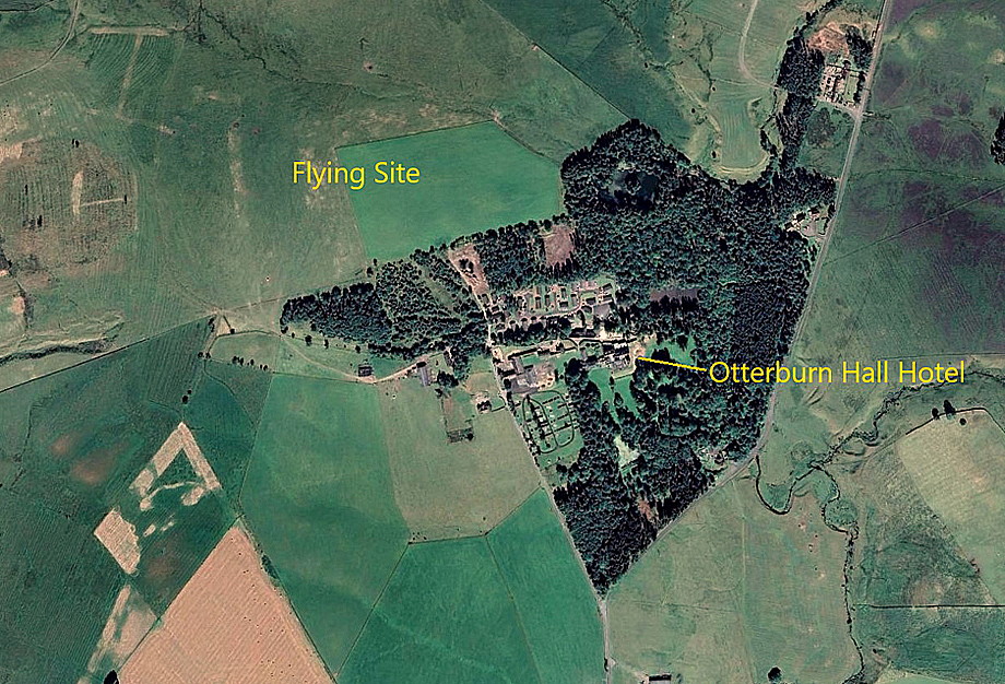
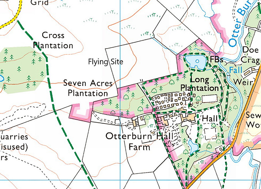
We have Mike Holder, a great friend of this 'Guide', to thank for investigating this location and providing the maps etc. As he pointed out to me, it is today impossible to determine the exact dimensions of the landing ground.
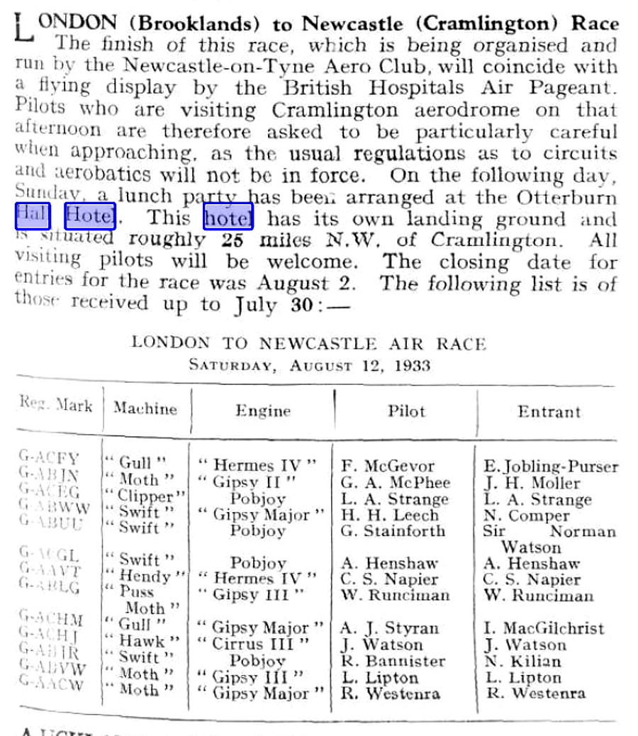
Article One was published in Flight magazine on the 8th August 1933.
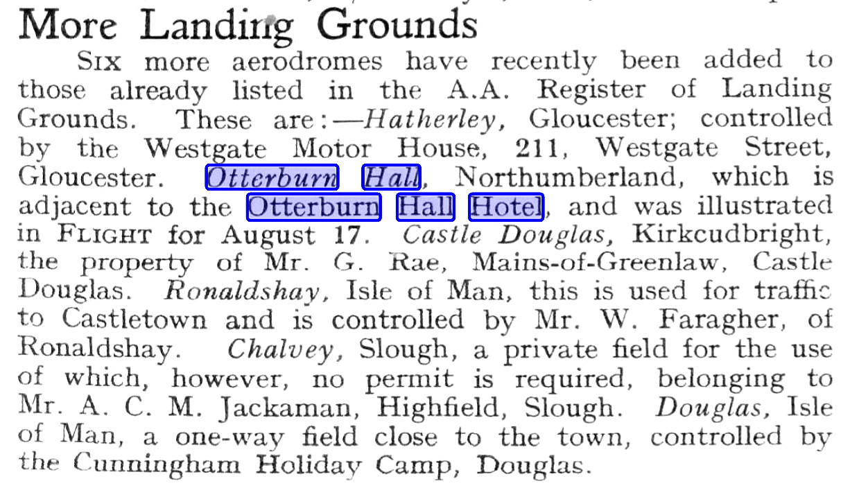
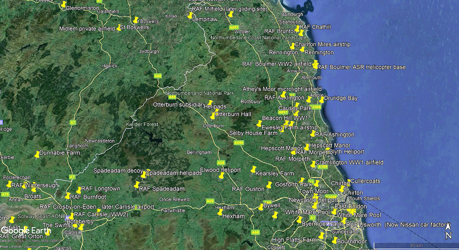
Article Two was published in Flight magazine on the 21st September 1933. The local area view together with the area view below are from my Google Earth © derived database.
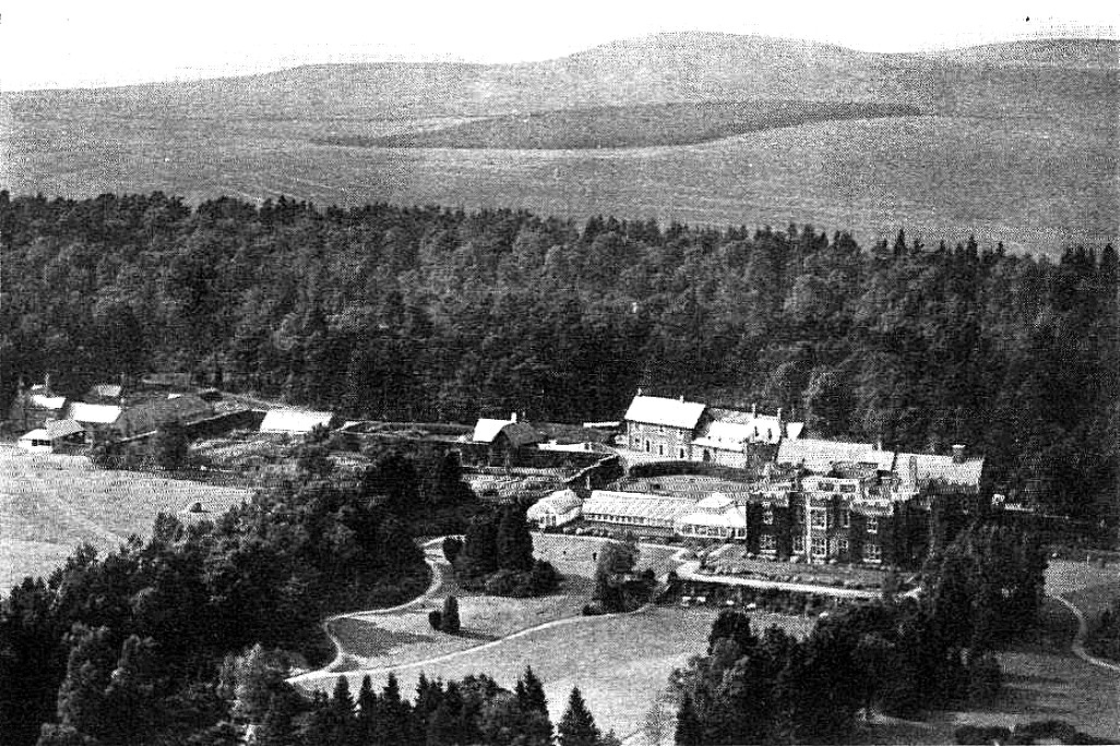
The aerial photo was published in Flight magazine on the 17th August 1933.
NOTES: Listed in the 1930s ‘A.A. Register of Landing Grounds’. The village called Otterburn Hall is on the A68/A696 junction roughly 2nm NW of Otterburn. This was one of seventy-four approved Landing Grounds by the A.A. (Automobile Association) on mainland Britain in the 1930s.
Fuel was available in cans from the hotel as was a telephone. Transport, (typically a taxi service), was available from Forster’s Garage in Otterburn but no hangar was available in 1933.
Paul A Doyle
This comment was written on: 2017-10-23 16:13:39most Otterburn Hall 1930s LG details are ok, except for the grass runway length which was 420 yds on a squarish-field (nowhere near the later military strip locations), AA code for Otterburn was 'JB'
Reply from Dick Flute:
Hi Paul, Many thanks, I shall keep this info posted. Best regards, Dick
We'd love to hear from you, so please scroll down to leave a comment!
Leave a comment ...
Copyright (c) UK Airfield Guide


