Oxton flying sites
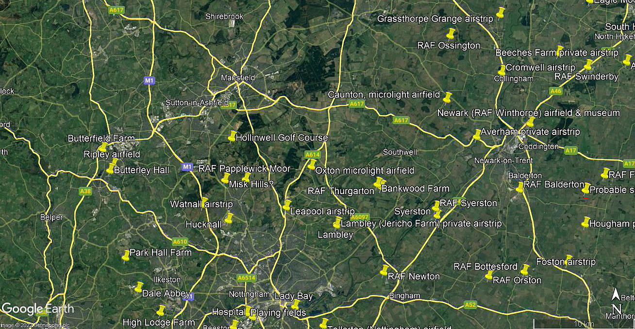
Note: This map shows the location of the current microlight airfield
OXTON: Gliding site
Operated by: Nottingham Gliding Club
NOTES: The club was founded in 1930 using facilities provided by Captain Sherbrook. The authors of ‘TOLLERTON an airfield for Nottingham’ have this to say. “Flight of 26 February 1932 reported that the Club’s membership was 110 with flying members very much in the majority and 45 holding ‘A’ licences.
Club members had flown two thousand hours during 1931 of which two Club aircraft had flown 950 hours. Members were very keen on cross-country flying and one member had flown to Dublin and back.”
OXTON: Microlight airfield/airstrip (Aka SALTERFORD FARM)
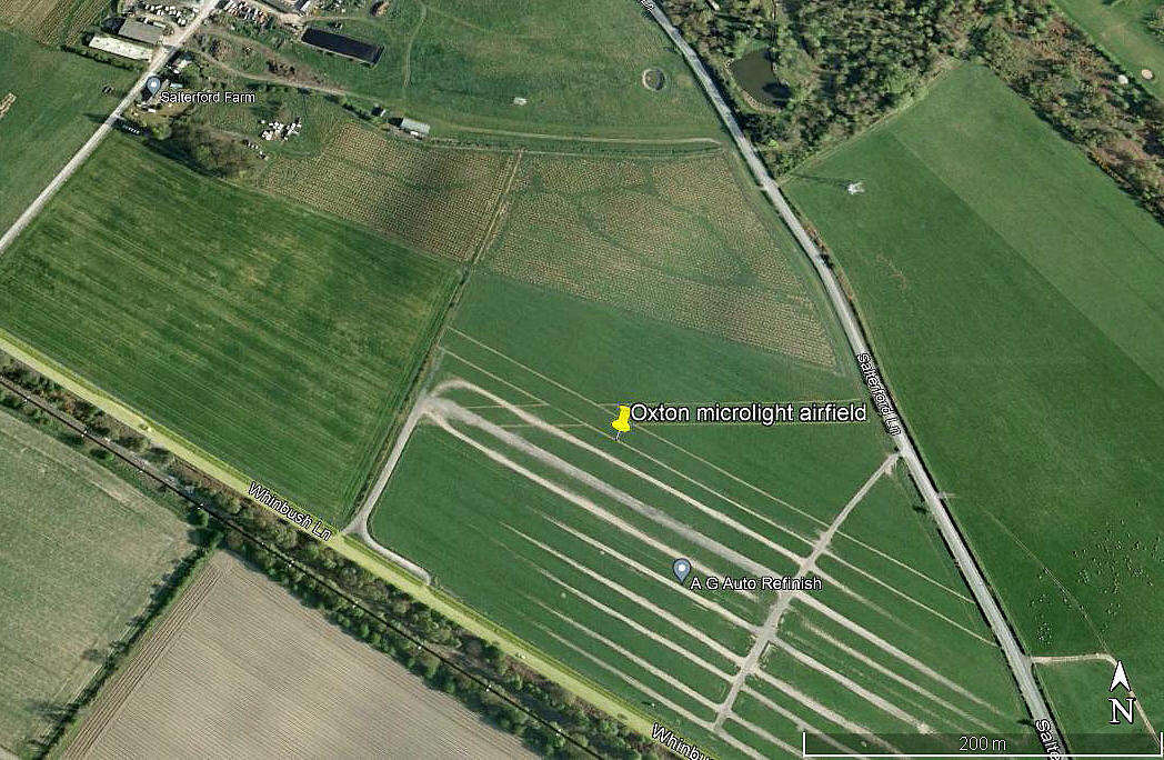
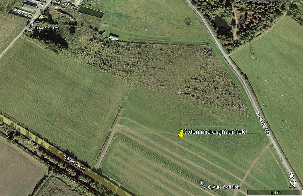
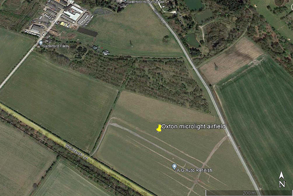
Note: These pictures were obtained from Google Earth ©
Operated by: Oxton Microlight Club
Location: Just NW of the junction of Salterford Lane and Whinbush Lane. Roughly 1.5nm WNW of Oxton, a village just NE of the junction of the A6097 and B6386 roughly 7 to 8nm SE of Mansfield town centre
Period of operation: Early 2000s to - (No evidence in 2002)
Runway: Initially it appears: 18/36 grass
Later (2007): 09/27 260 grass 12/30 350 grass
NOTES: Initial info source, AAIB report EW/G99/05/37.
A look at Google Earth in early 2018 clearly shows the two runways. It is quite a long circuitous taxy to the hangar situated to the north. Because a 18/36 runway is listed in the AAIB report, and which does not appear viable on the present site, I suppose it is quite possibe that I am confusing two sites?
If anybody can kindly offer advice, this will be most welcome.
Vincent Gledhill
This comment was written on: 2018-02-10 15:49:40I have added this site to www.airfieldcards.com and as you can see from my google earth measurement, the 09-27 runway is actually nearer to 12-30.
Mrs Gillian Dyer
This comment was written on: 2020-10-10 20:00:57WE ARE THINKING OF USING OXTON MICROLIGHT FIELD TO LAND A LIGHT (2,000LB) STOL AIRCRAFT - PLEASE ADVISE CONTACT DETAILS TO DISCUSS
Dick Flute
This comment was written on: 2020-10-10 20:08:20Hi Gillian, As you can see I have added this request, but this site is not a forum as such. I will be most interested to hear if you have had a response. Nest regards, Dick
We'd love to hear from you, so please scroll down to leave a comment!
Leave a comment ...
Copyright (c) UK Airfield Guide


