Red Farm
RED FARM: Private airstrip?
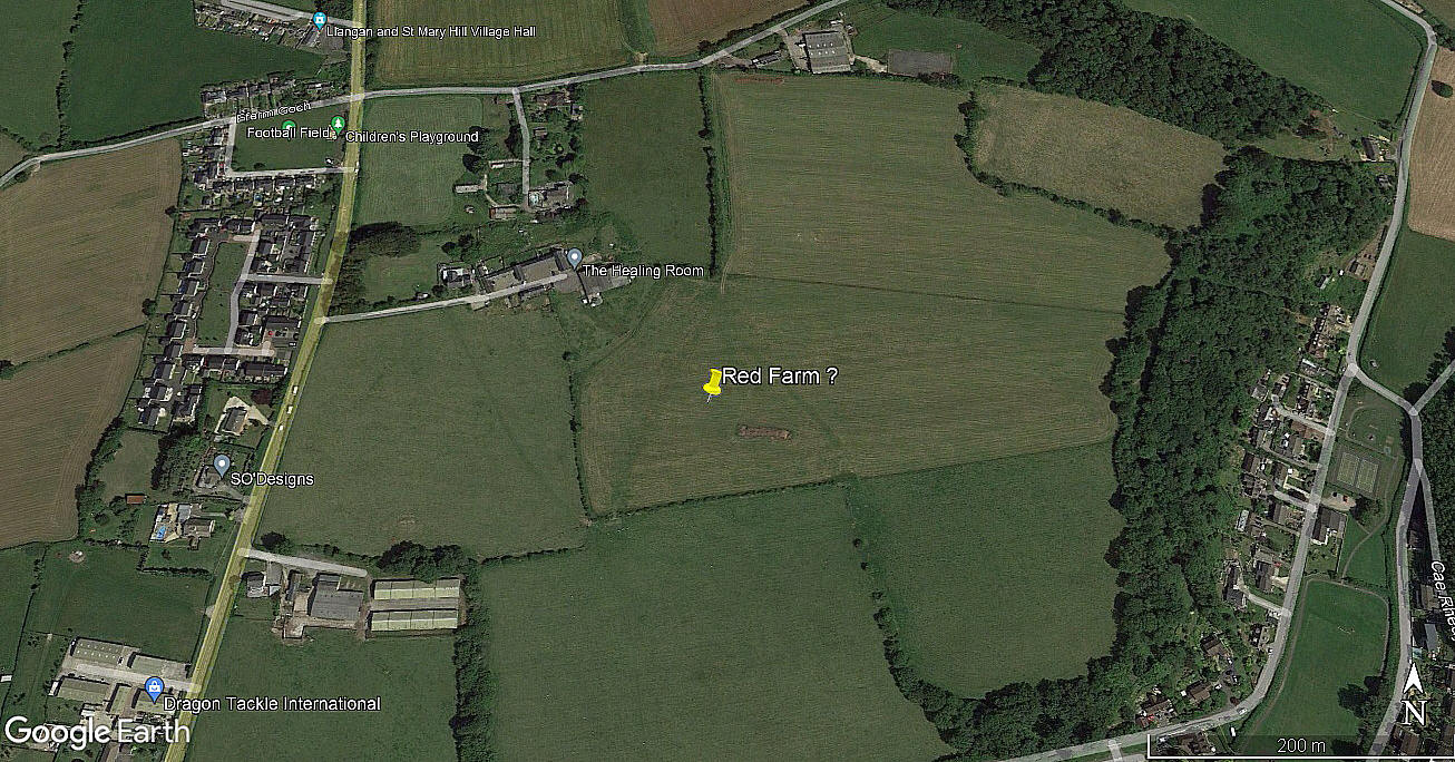
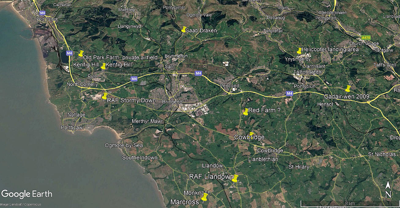
Note: The first picture was obtained from Google Earth ©. The area view is from my Google Earth © derived database.
Location: About 1nm ENE of Llangan village, about 4nm ESE of Bridgend town centre
Period of operation: 1958 to 1960?
NOTES: It was Mr Graham Frost, a great friend of this 'Guide', who posed the question as to whether or not this airstrip existed?
As often happens when researching this 'Guide', circumstantial evidence is all we have to go on. In this case the Auster J5/L Aiglet Trainer, G-APLG, was registered to Mr Kenneth Desmond from 02.06.58 to 05.03.60 at this address. It therefore seems reasonable that he may well have based it here?
It is well known that in a dry summer all sorts of pre-existing evidence becomes visible, often from hundreds if not thousands of years ago, much valued by archaeologists. So, does this 2021 picture provide evidence of an airstrip?
As always in this 'Guide', if anybody can kindly offer advice and information, this will be much appreciated.
We'd love to hear from you, so please scroll down to leave a comment!
Leave a comment ...
Copyright (c) UK Airfield Guide


