River Thames Henley
RIVER THAMES at HENLEY-on-THAMES: Temporary operating centre
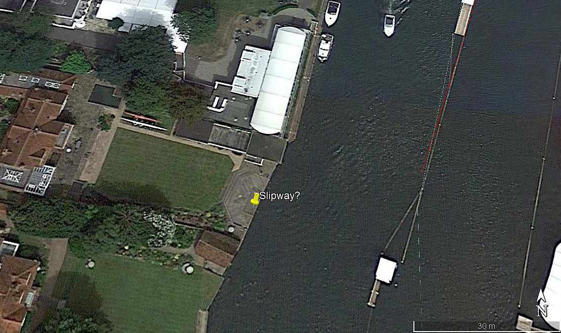
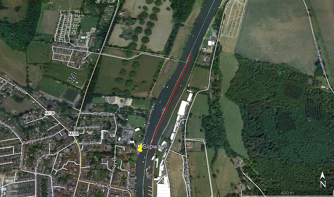
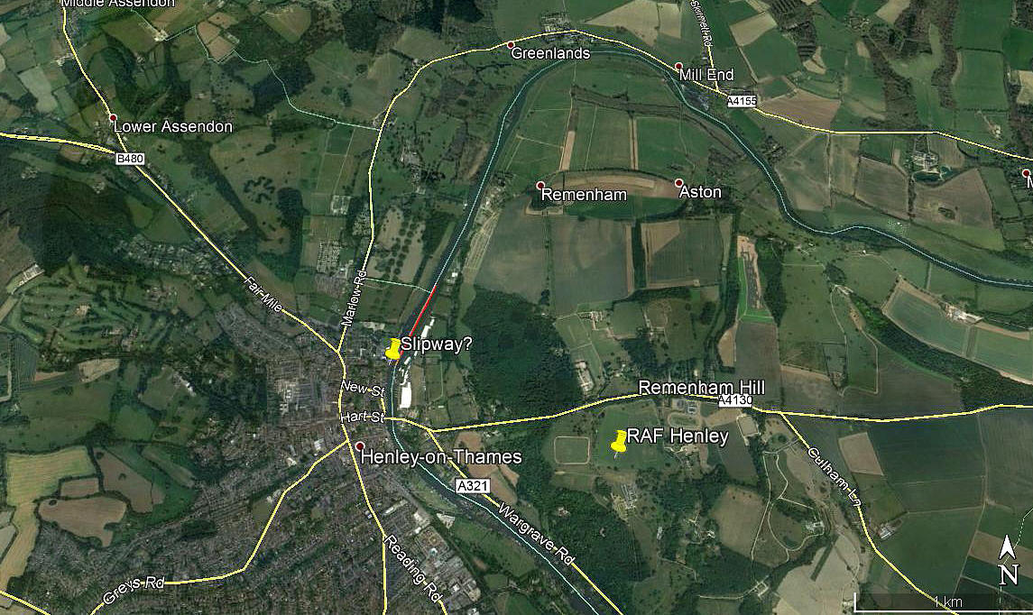
Note: These three pictures were obtained from Google Earth ©
Location: On the river Thames, N of the bridge, Henley-on-Thames
Period of operation: Early September 1976
NOTES: This information was kindly provided by Graham Frost who is a great friend of this 'Guide'. It appears that the Supermarine S.5 replica G-BDFF, (based at THORPE WATER PARK), made appearances at the Farnborough Air Show on the public days during 1976.
We have both tried to find out more details, but to date have failed. This said, and as common sense dictates, the S.5 used at least part of the Henley Regatta course for landing and taking-off. With well rehearsed procedures already in place for closing this section of the Thames for the regatta, this seems the likely reason why Henley was chosen?
Also, with Henley-on-Thames being 18.5nm NNW of FARNBOROUGH, and the S.5 not being equipped with a radio, no doubt a timed slot was allocated. Therefore with his watch synchronised with ATC at FARNBOROUGH the pilot could hold at some point north of the airfield and time his arrival perfectly. This could also ensure that, coming from this direction, the pilot could remain well clear of being in conflict with other traffic.
JUST A COUPLE MORE NOTES
The reason I have listed this location as being in both OXFORDSHIRE and BERKSHIRE is simply because the centre of the river Thames, at this point, is the boundary between the two Counties. It is therefore entirely possible, even on so short a landing and/or take-off run, that, very strictly speaking, these took place over two Counties! A rare claim to fame.
The map showing my estimate of the landing/take-off run is very much my quesswork, but cannot be far out. My map showing a potential slipway is even more of a guess - and quite probably completely wrong? The reason for suggesting that a slipway may have been used for safety, is simply because it would seem that mooring it in the river presents many hazards.
We'd love to hear from you, so please scroll down to leave a comment!
Leave a comment ...
Copyright (c) UK Airfield Guide


