Rollington Farm
ROLLINGTON FARM: Private airstrip
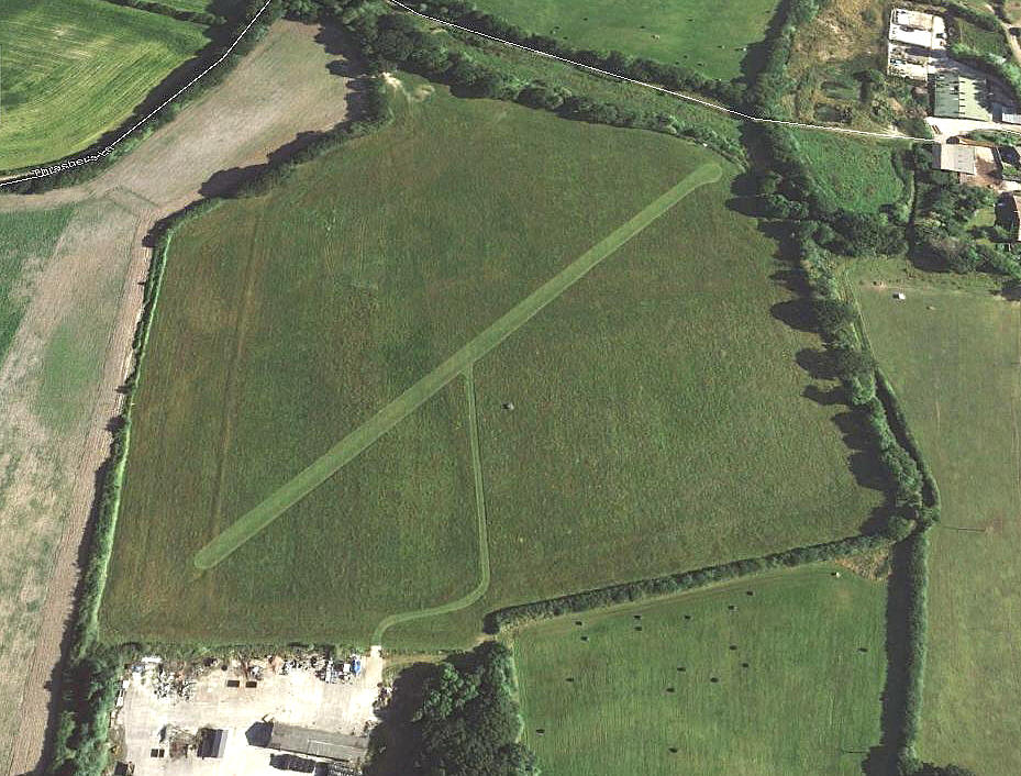
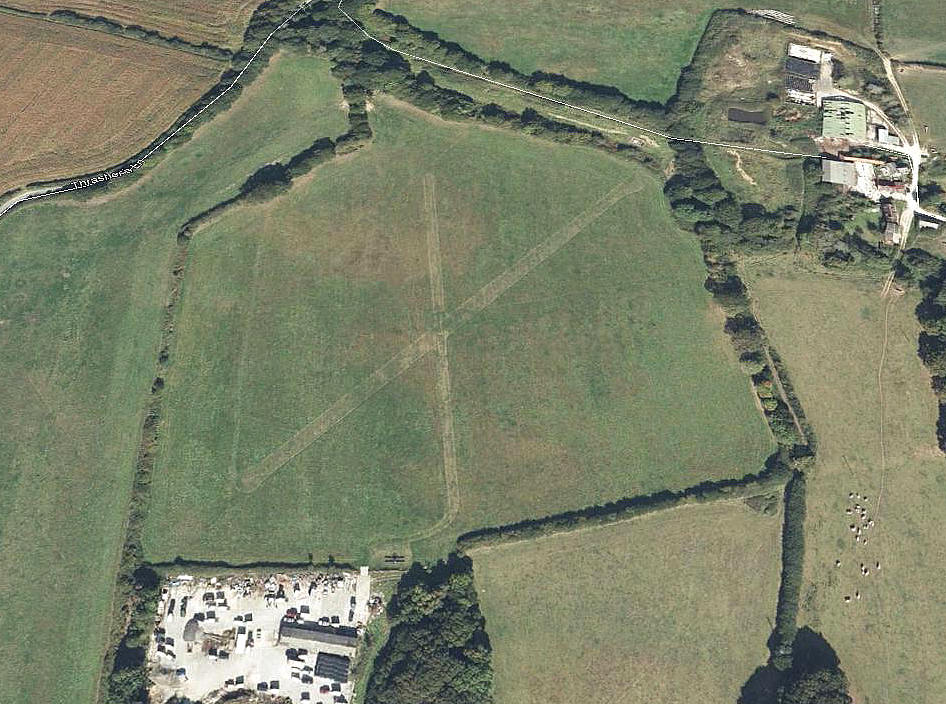
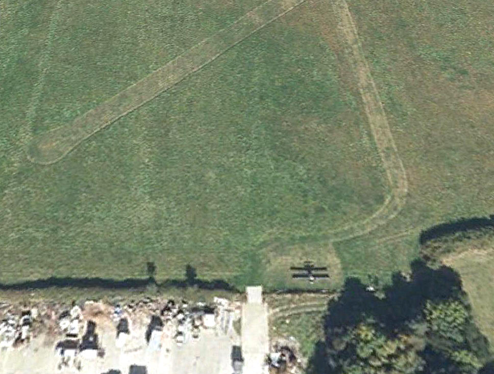
Note: All four of these pictures were obtained from Google Earth ©
The third fuzzy picture clearly shows an aeroplane parked here. Any ideas about what it might be?
Location: Near and W of Corfe Castle
Period of operation: Hard to determine. Possibly from around 2006 to 2012?
Runway(s): Reported: SW-NE 400 x 18 grass
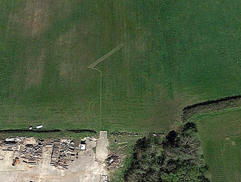
Note: The Google Earth pictures show, in 2008: 04/22 315 grass
Later in 2009: 05/23 295 grass 18/36 230 grass
NOTES: The initial info source was the AAIB report EW/G2007/08/30. In 2009 another AAIB report EW/2006/09/30, (note the date), states that the field had no markings and was ‘all-over’ allowing take-offs and landings in any direction.
Clearly, from the Google Earth pictures, a laid out runway is evident in 2008. With a N/S runway added shortly after. Perhaps still used in 2014?
MODEL FLYING SITE?
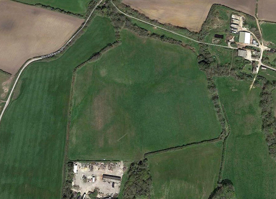
Note: This picture was also obtained from Google Earth ©
It could well be just my imagination, but, if not a model flying site - what do these markings represent? The circular markings could well represent an area used for models flying from a wire, and the SW/NE 'runway' used for 'free flight' models?
If anybody can kindly offer advice, this will be much appreciated.
We'd love to hear from you, so please scroll down to leave a comment!
Leave a comment ...
Copyright (c) UK Airfield Guide


