Rosslea-Derryvolan
ROSSLEA-DERRYVOLAN: Private airstrip
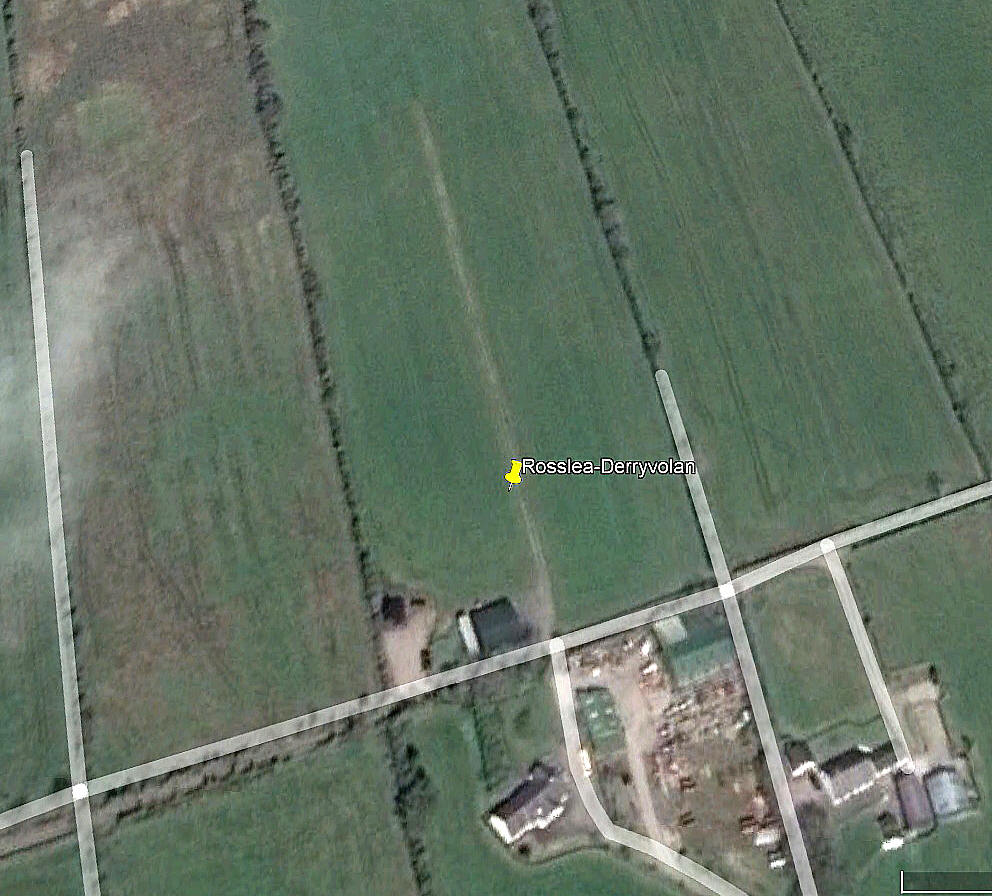
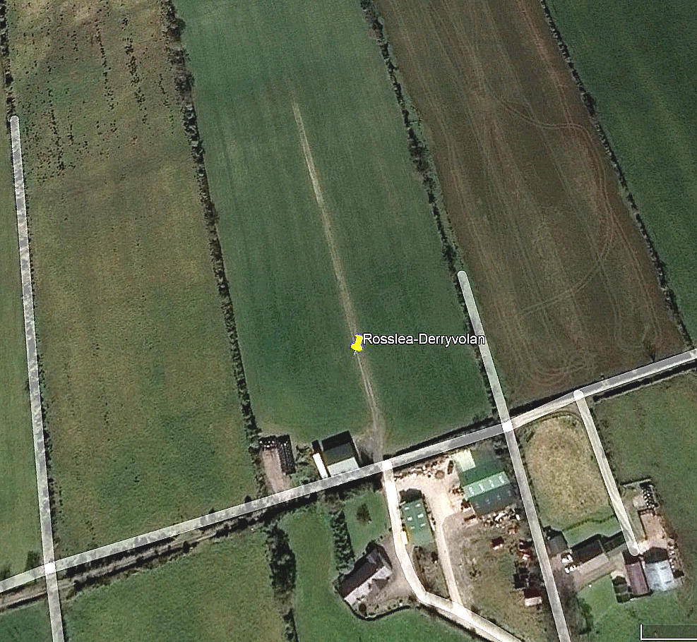
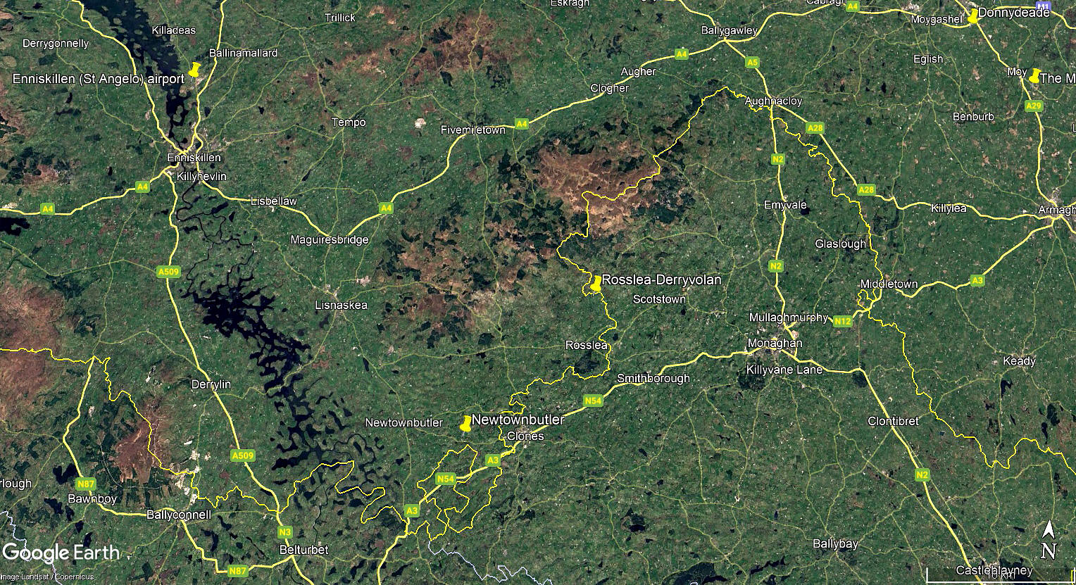
Note: The first two pictures were obtained from Google Earth ©. The area view is from my Google Earth © derived database.
Location: About 2.25nm NNE of Rosslea village, and roughly 8nm WNW of Monaghan town centre
Period of operation: Unknown?
Runway: 16/34 170 grass
NOTES: This area is poorly served by Google Earth, at least by my version. No pictures appearing prior to 2014. After 2015 I can see no obvious signs of this airstrip, although of course this does not mean that the field had ceased to be used.
If anybody can kindly offer advice and information, this will be much appreciated. Pictures are always most welcome.
We'd love to hear from you, so please scroll down to leave a comment!
Leave a comment ...
Copyright (c) UK Airfield Guide


