


Stracathro
STRACATHRO: Military aerodrome
Military user: RAF Flying Training Command 21 Group
1541 BAT [Beam Approach Training] Sqdn (Airspeed Oxfords)
2 FIS [Flight Instructors School] (Miles Masters - I think this is correct?)
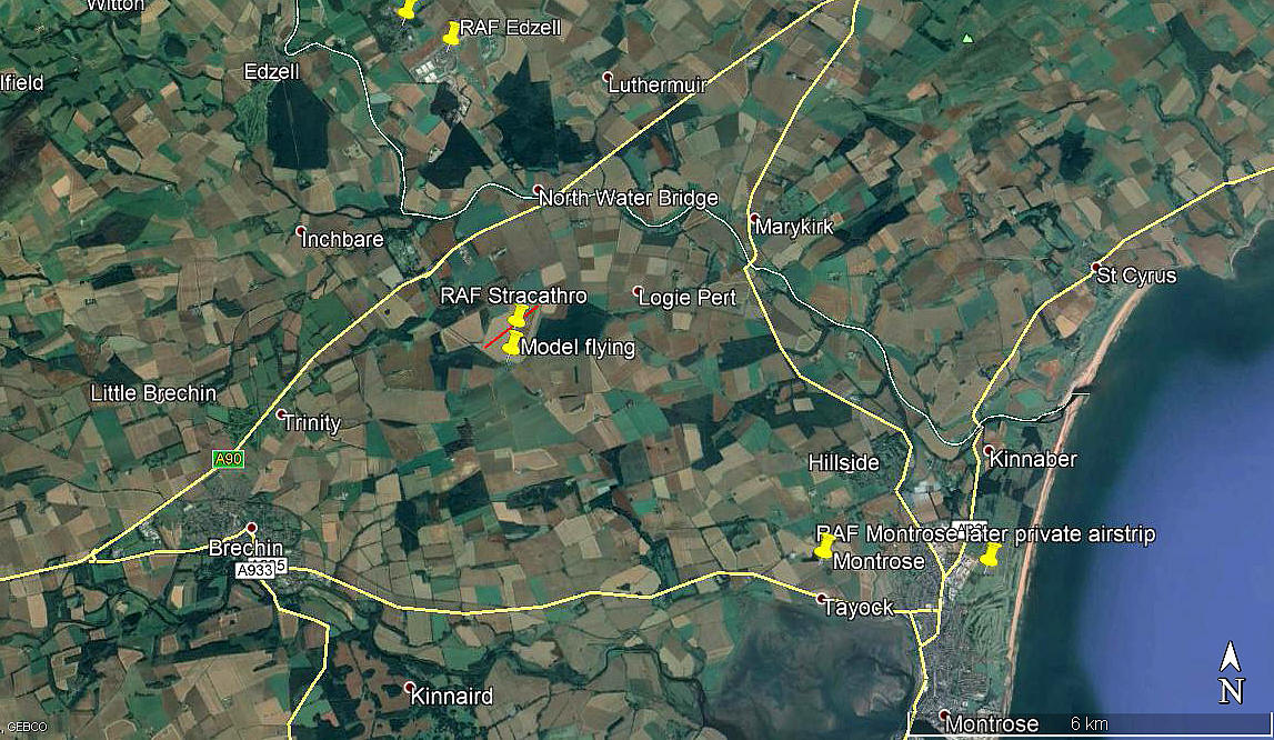
Location: SW of Logie Pert, W of Bank of Gallery, NE of Addicote, about 3nm NE of Brechin
Period of operation: 1941 to 1946
Runway: NE/SW 1189 grass
NOTES: It is quite a rarity in WW2 to find an airfield with just one runway, especially when used for training purposes. Is there a reason for this - for example, does the terrain here dictate that invariably winds come from a predictable direction? Or perhaps, considering that this airfield was used for more advanced training, landing often in crosswinds was a desirable feature?
Note: All four of these pictures were obtained from Google Earth ©
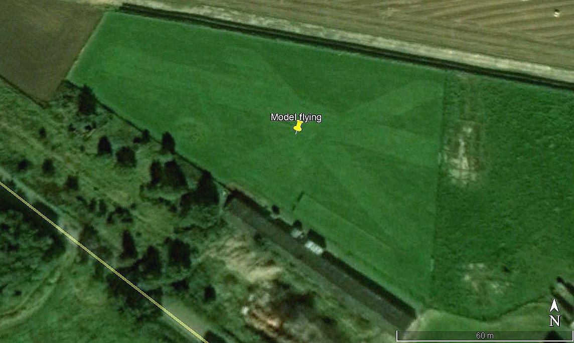
MODEL FLYING
It appears that in more recent years, this site has been used by the Angus Model Flying Club, which was founded in 2009.
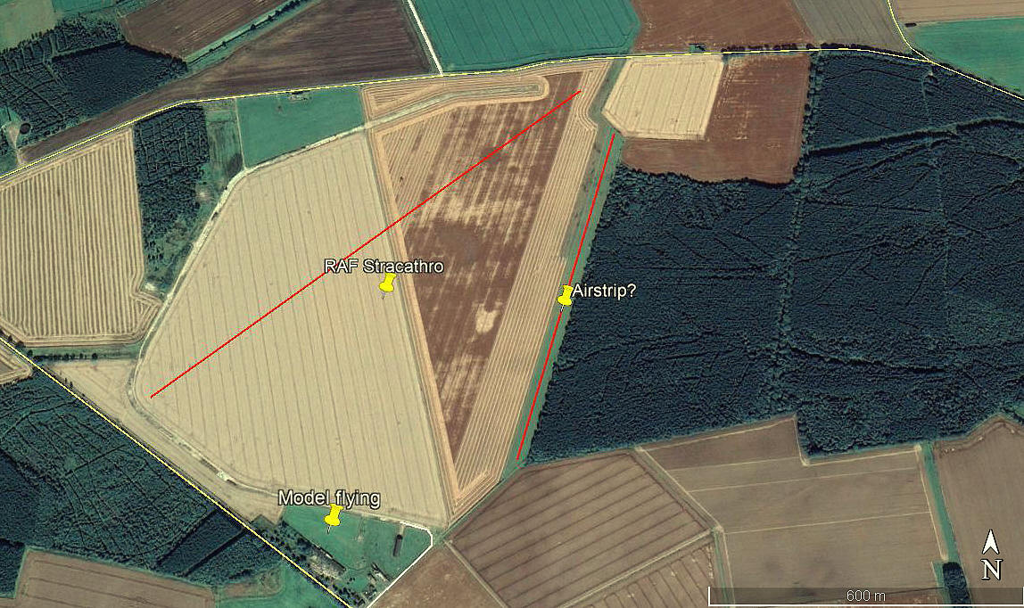
However, I have seen an aerial picture of the model flying site which clearly showed a full-scale aircraft, looking like a Vans type (?), parked by the models. So, how did that get there? This is purely guesswork, but, looking at Google Earth images, there appears a clear indication of an airstrip on the east side of the old WW2 airfield: 01/19 800 grass. (See the second picture).
The second picture also shows my guess as to roughly where the WW2 runway was laid out.
As always in this 'Guide', if anybody can kindly offer advice, this will be much appreciated.
We'd love to hear from you, so please scroll down to leave a comment!
Leave a comment ...
Copyright (c) UK Airfield Guide

