Now having 7,000 + listed!

Probably becoming the most extensive British flying sites guide online...?

portfolio1 portfolio2 portfolio3 portfolio4

Heading 1

This is an example of the content for a specific image in the Nivo slider. Provide a short description of the image here....

Heading 2

This is an example of the content for a specific image in the Nivo slider. Provide a short description of the image here....

Heading 3

This is an example of the content for a specific image in the Nivo slider. Provide a short description of the image here....

Heading 4

This is an example of the content for a specific image in the Nivo slider. Provide a short description of the image here....

small portfolio1 small portfolio2 small portfolio3 small portfolio4
themed object
A Guide to the history of British flying sites within the United Kingdom
get in touch

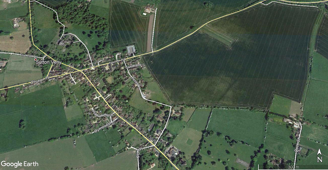
Sutton Veny


SUTTON VENY: Military airstrip

Area view
Area view


Note:   This picture was obtained from Google Earth ©


Military user: U.S. 3rd Armoured Division


Location: Best's Lane in Sutton Veny village just S of the A36, 2nm SE of Warminster

Period of operation: 1943 to 1944


NOTES:  This was during the build-up to the D-Day invasion. U.S. Forces especially used their plentiful amount of light liaison aircraft for communications duties to avoid the congestion on the roads.


We'd love to hear from you, so please scroll down to leave a comment!


Leave a comment ...


Name
 
Email:
 
Message:


Copyright (c) UK Airfield Guide


slide up button