Now having 7,000 + listed!

Probably becoming the most extensive British flying sites guide online...?

portfolio1 portfolio2 portfolio3 portfolio4

Heading 1

This is an example of the content for a specific image in the Nivo slider. Provide a short description of the image here....

Heading 2

This is an example of the content for a specific image in the Nivo slider. Provide a short description of the image here....

Heading 3

This is an example of the content for a specific image in the Nivo slider. Provide a short description of the image here....

Heading 4

This is an example of the content for a specific image in the Nivo slider. Provide a short description of the image here....

small portfolio1 small portfolio2 small portfolio3 small portfolio4
themed object
A Guide to the history of British flying sites within the United Kingdom
get in touch

Upfield Farm


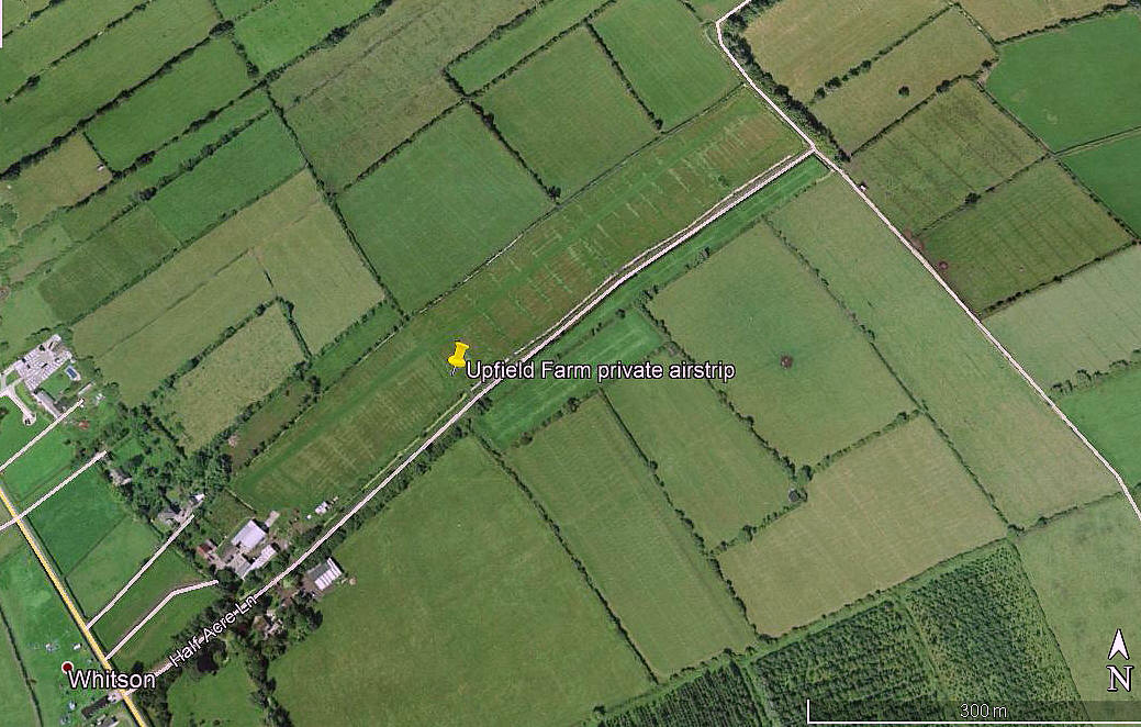
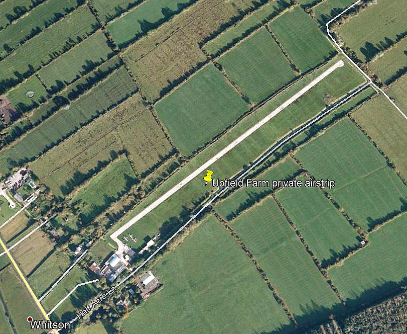
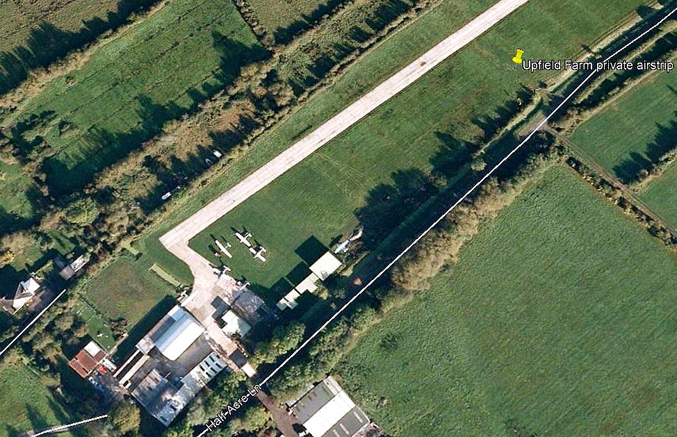
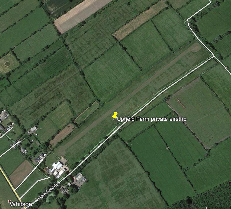
UPFIELD FARM: Private airstrip   (Later renamed NEWPORT CITY AERODROME)


Aerial view 2001
Aerial view 2001
Aerial view 2009
Aerial view 2009
Aerial detail 2009
Aerial detail 2009
Aerial view 2017
Aerial view 2017


Note:  All four of these pictures were obtained from Google Earth ©
 

Operated by: 2001: Mr K M Bowen
 

Location: Near and just NE of Whitson, (also seen spelt Whiston & Whitston), 4nm SE of Newport
 

Runway: 2001: 04/22   650x9   grass

2006: 05/23  640x10   hard


NOTES: In AAIB reports published in 2007 and 2008 this strip was called UCKFIELD FARM but on the CAA half-mil chart it is named UPFIELD FARM. In fact a map of the area used in the AAIB report EW/C2007/06/01 clearly shows that the AAIB themselves have marked the strip as UPFIELD FARM! Pick the bones out of that if you would be so kind - and please let me know the answer.


We'd love to hear from you, so please scroll down to leave a comment!


Leave a comment ...


Name
 
Email:
 
Message:


Copyright (c) UK Airfield Guide


slide up button