Now having 7,000 + listed!

Probably becoming the most extensive British flying sites guide online...?

portfolio1 portfolio2 portfolio3 portfolio4

Heading 1

This is an example of the content for a specific image in the Nivo slider. Provide a short description of the image here....

Heading 2

This is an example of the content for a specific image in the Nivo slider. Provide a short description of the image here....

Heading 3

This is an example of the content for a specific image in the Nivo slider. Provide a short description of the image here....

Heading 4

This is an example of the content for a specific image in the Nivo slider. Provide a short description of the image here....

small portfolio1 small portfolio2 small portfolio3 small portfolio4
themed object
A Guide to the history of British flying sites within the United Kingdom
get in touch

Ventonwyn Farm


Note: This map only shows the position within the UK.


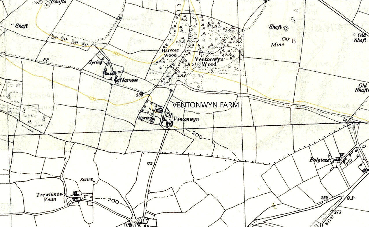
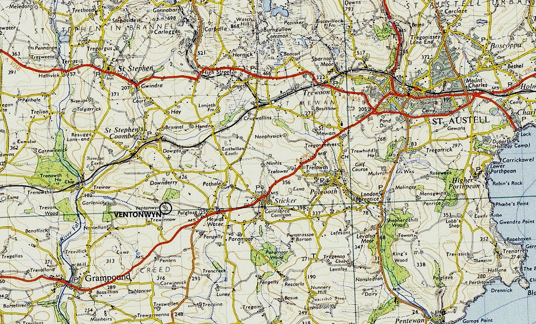
VENTONWYN FARM: Temporary aerodrome

Local map
Local map
Area map
Area map


Note:  Both of these maps were very kindly provided by Mr Michael T Holder


Operated by: Sir Alan Cobham’s 1933 National Aviation Day No.2 Tour of the UK
 

Location:  WSW to SW of  St Austell

Period of operation: 12th May 1933


NOTES: This was meant to be the venue (17th August 1935) for the Jubilee Air Displays Tour but the show was apparently cancelled due to a crash the previous day. Was the crash possibly during their display at RACECOURSE FARM near Bodmin?


Michael Holder

This comment was written on: 2020-06-22 23:02:20
 
Ventonwyn Farm - Cobham Site 12 May 1933 - 50 18 55"N 004 52 18"W just south of west of St Austell by 3.6 miles.
 

We'd love to hear from you, so please scroll down to leave a comment!


Leave a comment ...


Name
 
Email:
 
Message:


Copyright (c) UK Airfield Guide


slide up button