Walton Wood
WALTON WOOD: Private airfield (Aka WALTON WOOD FARM)
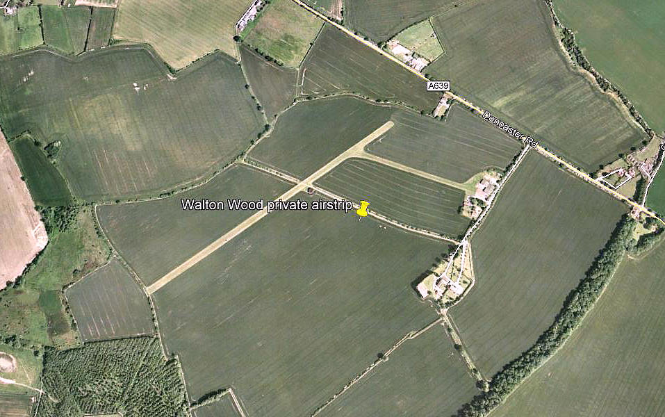
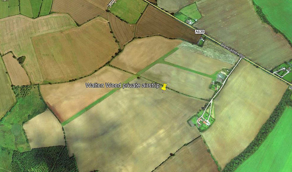
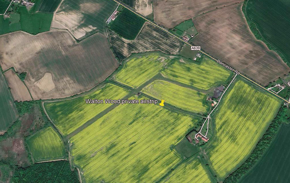
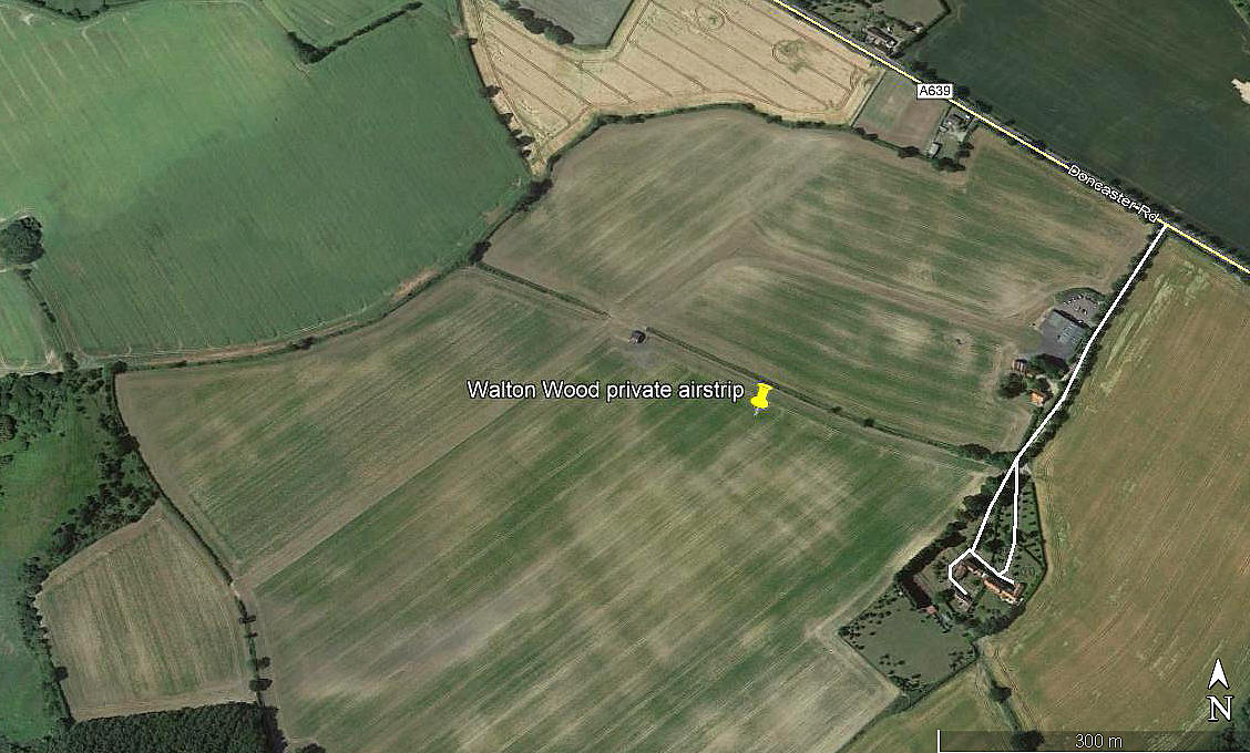
All four of these pictures were obtained from Google Earth ©
Operated by: 2000: Heliscott Ltd
Maintenance: 2018: Aero Maintenance
Location: SW of A639, near Thorpe Audlin, about 3.5nm S of Pontefract town centre
Period of operation: 1980s to -
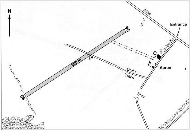
Note: This map is reproduced with the kind permission of Pooleys Flight Equipment. Copyright Robert Pooley 2014.
Runway: 2000 & 2004: 06/24 800x16 grass
By 2013 the runway had been shortened to 676 metres. And by 2018 (?) the alignment was 07/25
NOTES: Here again, many years ago I encountered a fair bit of confusion over the years as to where this strip was actually is located. For example I found this in an airfield guide published in the 1980s which was usually spot on when I checked it. “W of A638, 1.25 miles N of junction with A1, and 9 miles NW of Doncaster."
Looking at this site once again, in March 2019, and equipped with all the latest info, it was of course very easy to pin down.
One reason for showing these four pictures spread over around twenty years, is that they amply illustrate how the appearance of a grass airstrip can change quite dramatically - even during one year - depending on the crops being sown. It was one aspect I loved about flying into farm strips.
In 2022 I was kindly contacted by Mr Graham Frost, a great friend of this 'Guide', who pointed out that Mr Peter E Scott had the Auster J5V Series 160, (as registered), G-AOIY, also listed as being an Auster J/5G Autocar, based here from 27.01.83 until 13.03.89.
.
We'd love to hear from you, so please scroll down to leave a comment!
Leave a comment ...
Copyright (c) UK Airfield Guide


