


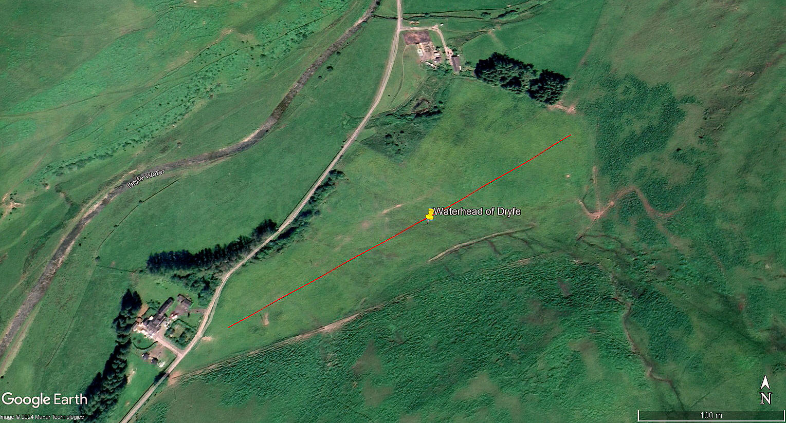
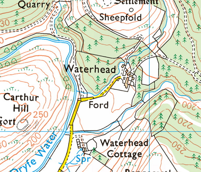
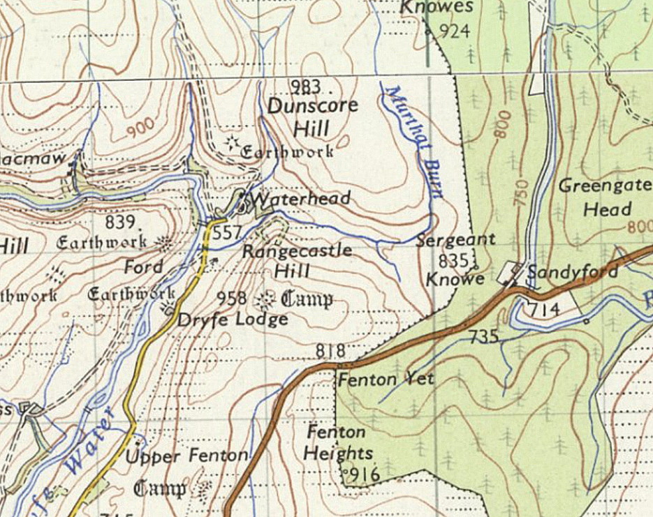
Waterhead of Dryfe
WATERHEAD of DRYFE: Private airstrip
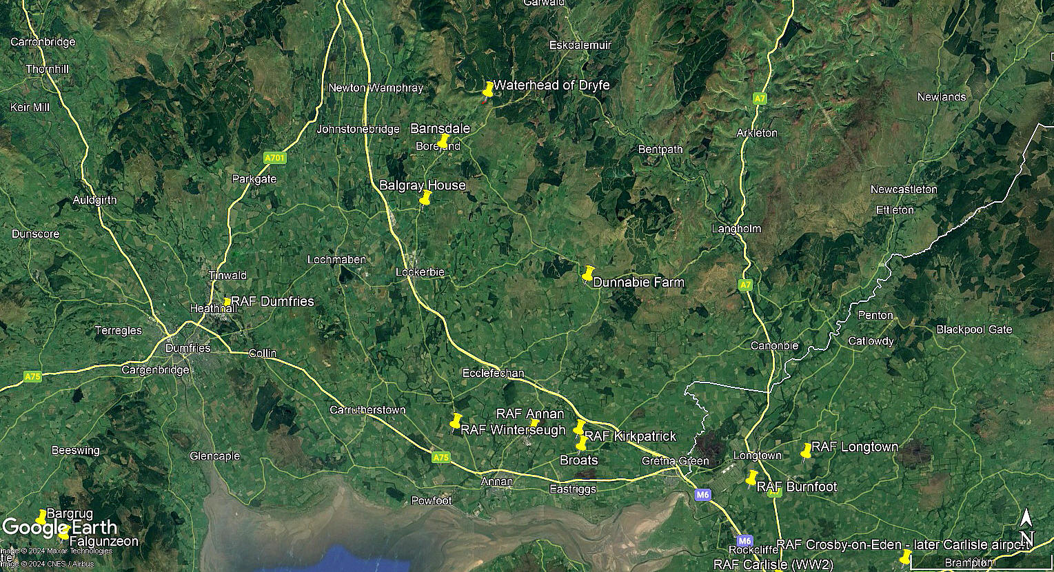
Note: The first five items were kindly provided by Mike Holder, a great friend of this 'Guide'. The local area view is from my Google Earth © derived database.
Not all of the locations listed in this 'Guide' are marked on the database.
Operated by: Mr Kerr Elliot
Location: N of the B723, about 8nm NNE of Lockerbie town centre
Period of operation: Unknown? In the 1950s/1960s it would seem?
Runway: Perhaps? 06/24 370 grass
NOTES: We have Mr Ross Dowie to thank for providing this information. It appears that an ex RAF pilot, Kerr Elliot, used to land here as his family had a farm nearby.
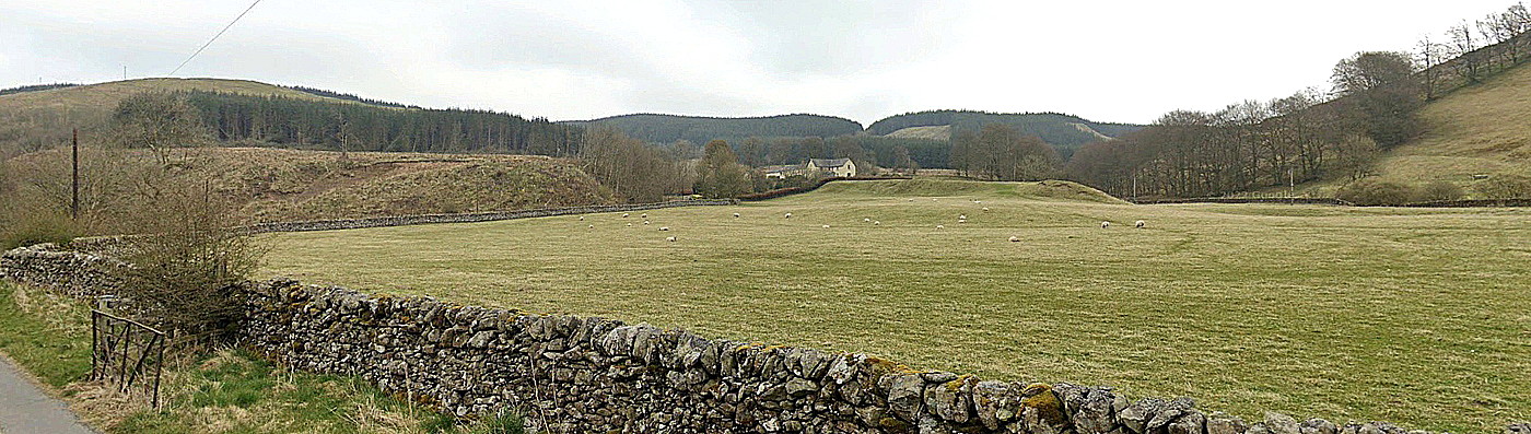
As far as Mike Holder and myself can ascertain, this location we have chosen, is the only 'Waterhead' in this area? The Google Street View certainly shows the only suitable flattish field in the vicinity, and, would be quite suitable for use by types such as Austers, Miles Messengers etc.
The main purpose of this 'Guide' is to record evidence of a flying site. Quite often an exact location is not known. If anybody can kindly offer advice and information this will be most welcome.
We'd love to hear from you, so please scroll down to leave a comment!
Leave a comment ...
Copyright (c) UK Airfield Guide

