


West Calder
WEST CALDER: Private airfield, later airstrip (Aka BROOMHILL FARM)


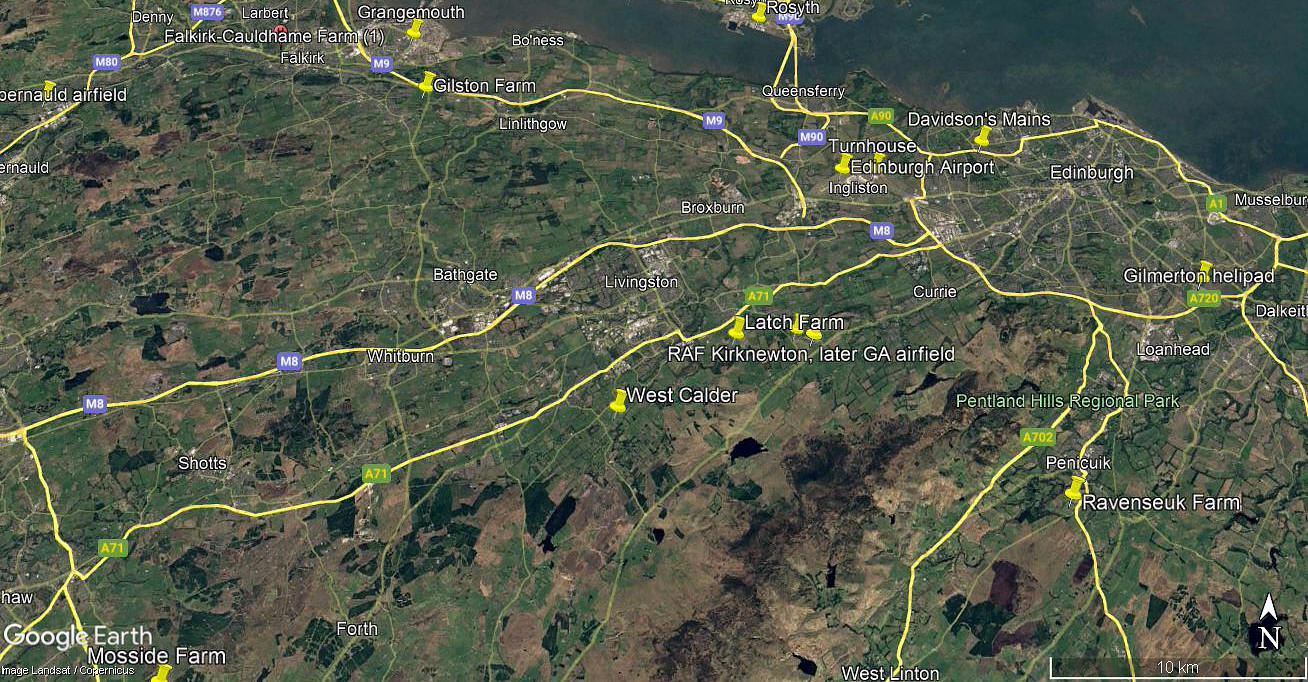
Note: The first two pictures were obtained from Google Earth ©, the area view is from my Google Earth © derived database.
Location: Just E of the B7008, about 1.5nm SE of West Calder, roughly 3.5nm S of Livingston town centre
Period of operation: Unknown? Certainly from 2005 to -
Runways: This is of interest. It appears that the original runway was 09/27 420 grass.
As the 2005 picture above shows, a second runway had been laid out with much better approaches, especially towards the west. This being:
07/25 500 grass
At some point, not long after 2005, the original 09/27 runway was disused. This resulting in an unusually long taxy up to the 07/25 runway.
NOTES: We have Mr Graham Frost, a great friend of this 'Guide', to thank for pointing out this location. If anybody can kindly offer advice and information, this will be much appreciated.
We'd love to hear from you, so please scroll down to leave a comment!
Leave a comment ...
Copyright (c) UK Airfield Guide

