Weston Park
Note: This map only gives the general location of WESTON PARK within the UK. Given the variety of activity over the years, it is perhaps impossible to give the location of the various runways used? However, if anybody could be kind enough to supply this information, it will be most welcome.
WESTON PARK: Satellite Landing Ground, later temporary or occasional civil airfield
Military user: 33 SLG (some say administered by 9 MU, others by 27 MU RAF SHAWBURY)
Location: Just S of A5, 6nm E of Oakengates
Period of operation: 1941 to -
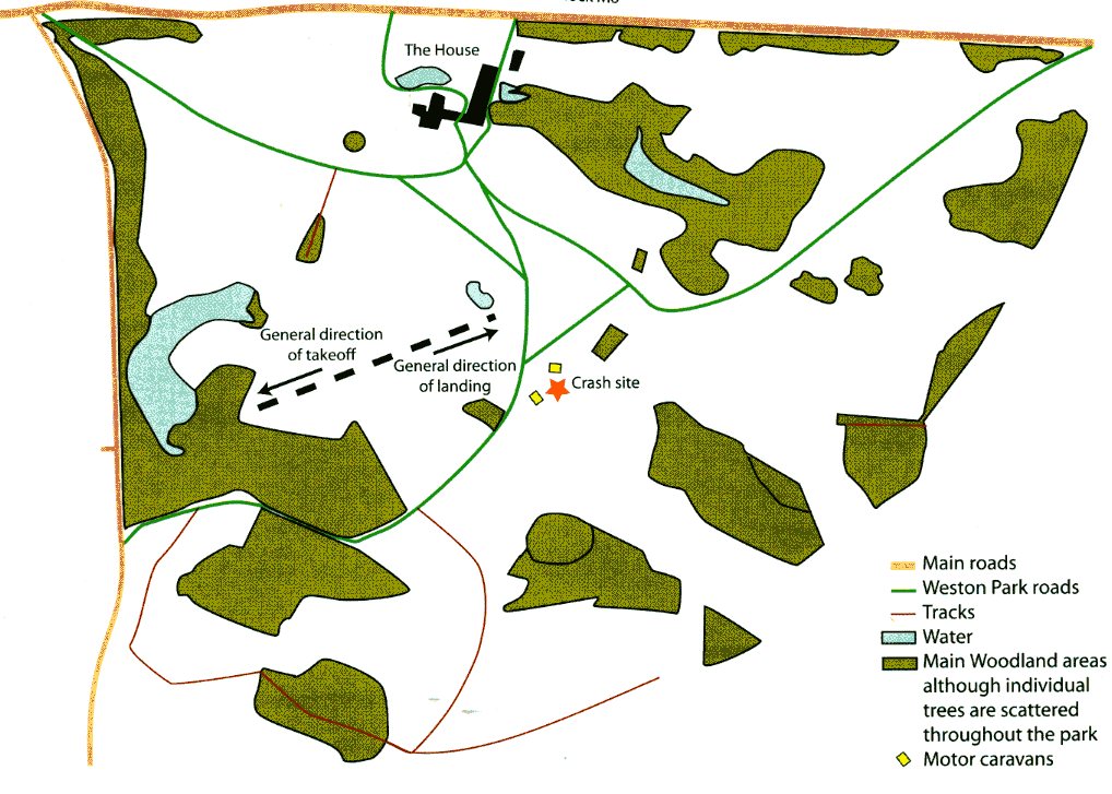
Runway: WW2: Along the southern edge of WESTON PARK there is a road running from Tong Norton to Bishop’s Wood and the 08/26 975x100 grass runway ran just N and parallel to it.
The eastern end part of the runway was N of Ottoxey Farm
March 2005: 680 x 100 grass
NOTES: This was apparently mainly intended and used for aircraft storage in WW2 with a notional capacity for fifty seven aircraft.
LATER AVIATION EVENTS
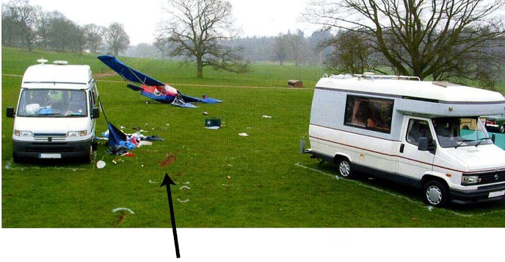
There are several mentions of WESTON PARK being used for various aviation events over the years beyond WW2 and I’d like to give as an example the crash of the Rans S6-ES Coyote 11 G-CCNB as an example. See AAIB report EW/C2005/03/05 for further details.
Fortunately the two people in the Rans escaped with minor injuries.
In June 2016, (17th to 19th), an event described as a 'Model & Full Size Air Show' was planned to take place.
We'd love to hear from you, so please scroll down to leave a comment!
Leave a comment ...
Copyright (c) UK Airfield Guide


