Whalsay
WHALSAY: Civil aerodrome
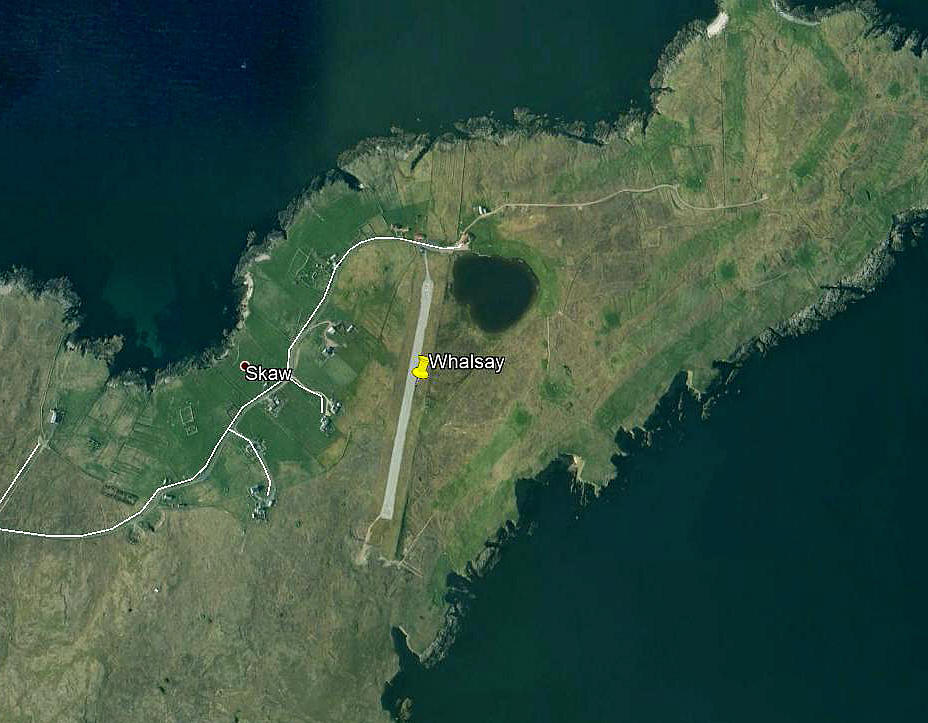
Note: This picture (2008) was obtained from Google Earth ©
Operated by: 1980s to 2000 at least: Whalsay Development Committee
Location: NE end of Whalsay island, roughly 17nm NNE of Lerwick
Period of operation: 1980s to -
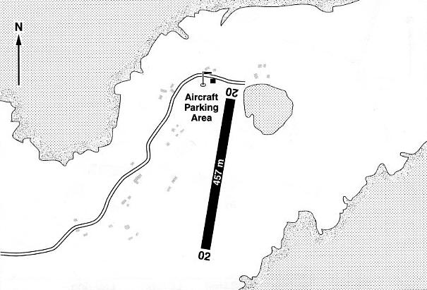
Notes: This map is reproduced with the kind permission of Pooleys Flight Equipment Ltd. Copyright Robert Pooley 2014.
Runway: 1990/2000: 02/20 457x18 hard
We'd love to hear from you, so please scroll down to leave a comment!
Leave a comment ...
Copyright (c) UK Airfield Guide


