Whittles Farm
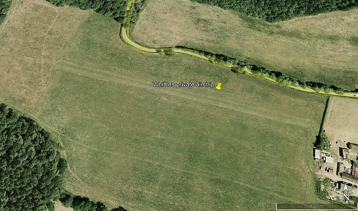
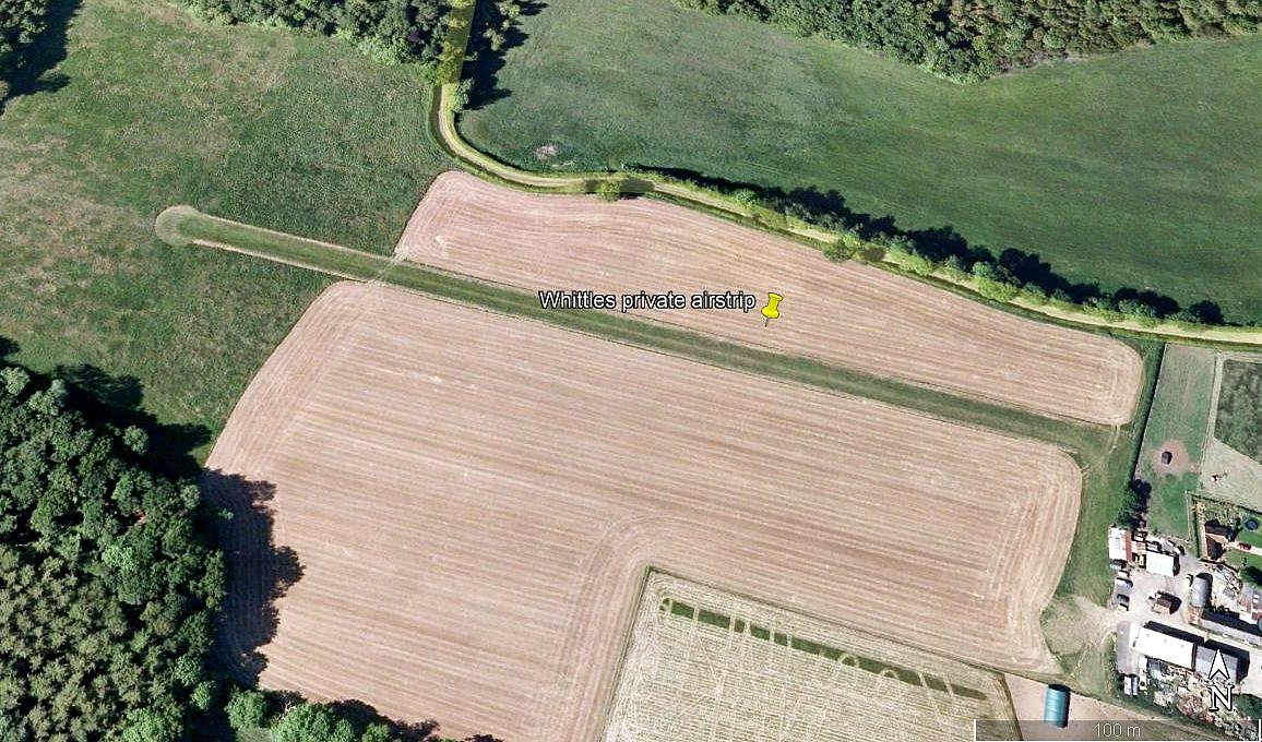
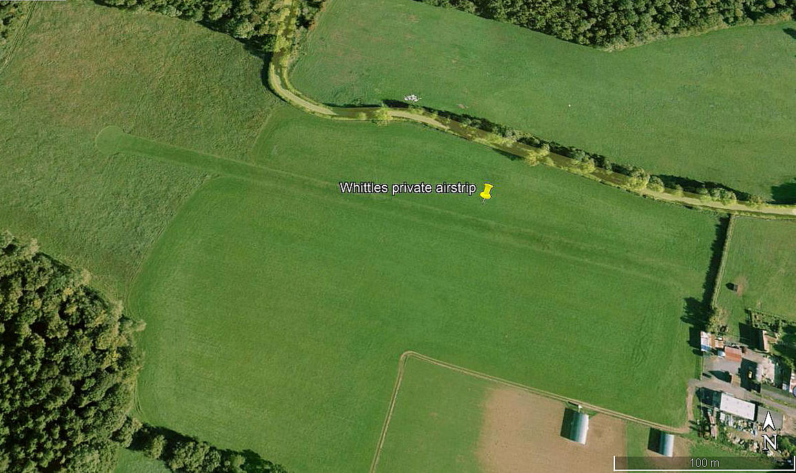
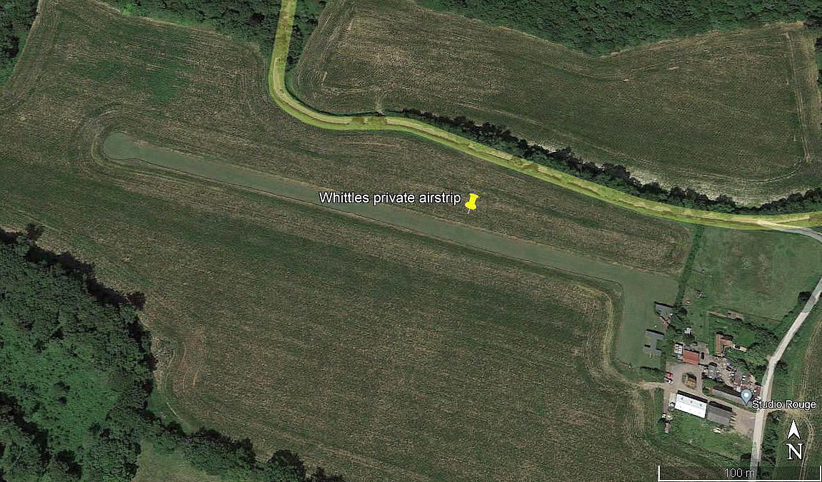
WHITTLES FARM: Private airstrip (also known as MAPLEDURHAM and just WHITTLES)
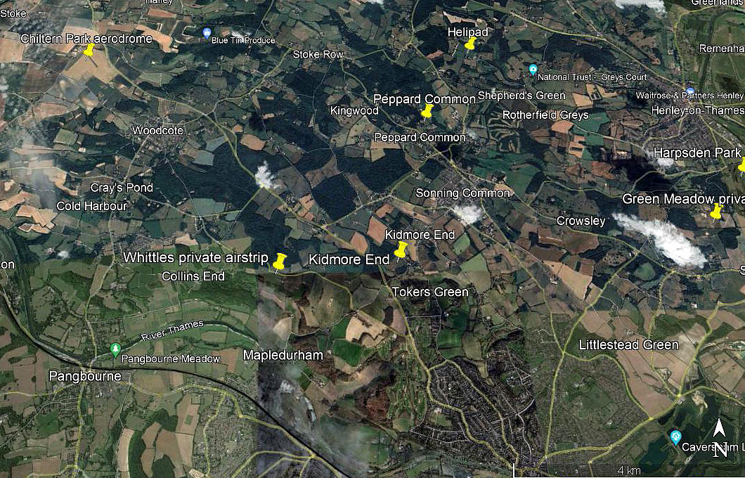
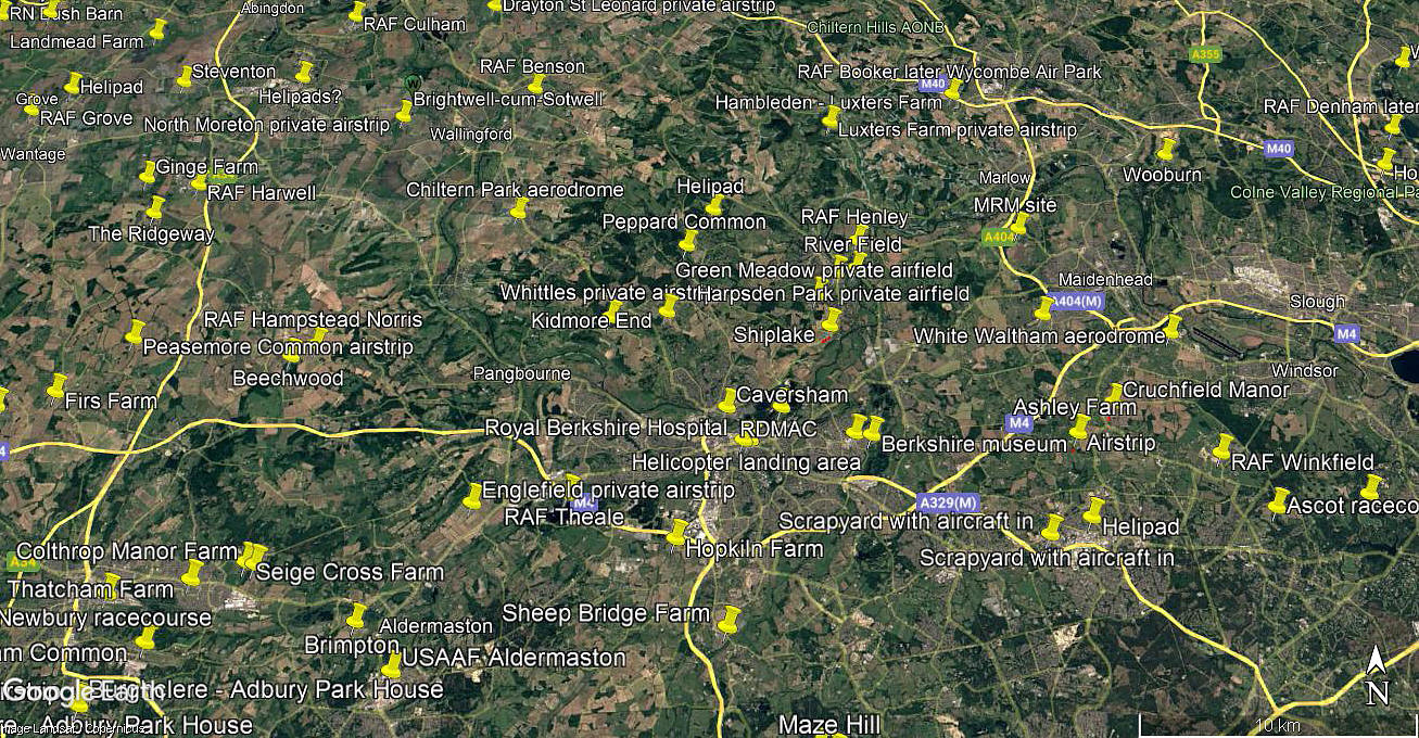
Note: Six of these pictures were obtained from Google Earth ©. The local area and area views are from my Google Earth © derived database.
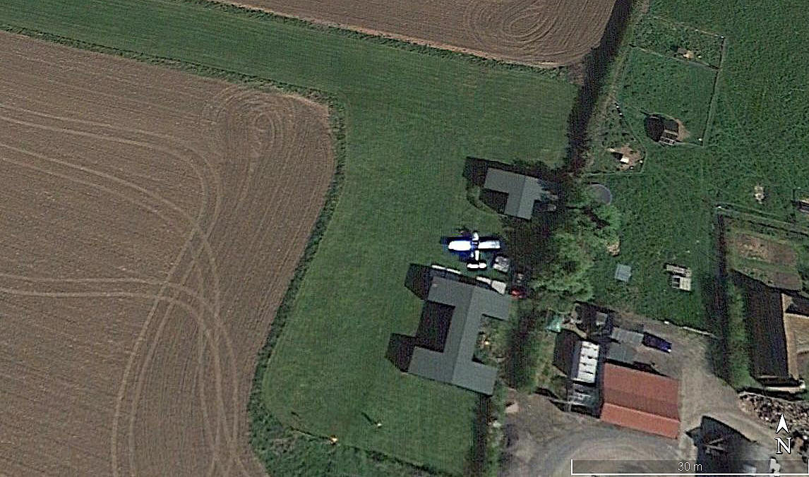
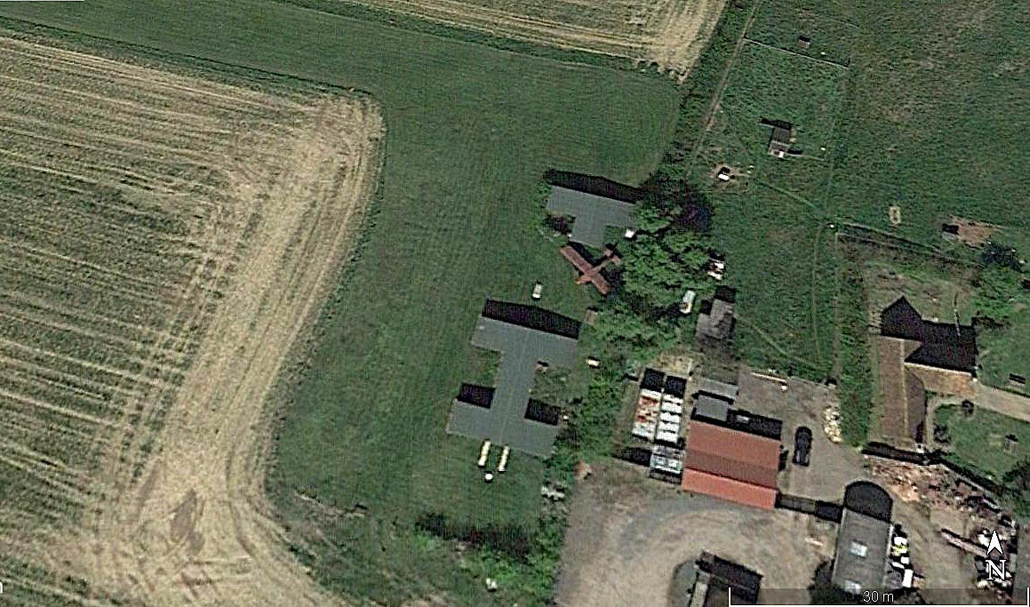
Note: Can anybody explain what the brown aircraft is in the aerial detail view above?
Location: S of minor road joining the A4074 & B4546, in/near Mapledurham, 1.5nm NNW of Purley and roughly 5nm NW of Reading town centre
Period of operation: 1970s to -
Runway: 10/28 380 grass (Google Earth image, 2005)
NOTES: I have seen it from the air and it looks a tad tricky for normal GA types. So hardly surprising to find that in the mid 1970s it appears three suitable aircraft were based here: The Auster J/1 Autocrat G-AJUE, Piper J-3C-65 Cub G-AXGP and Piper PA-15 (PA-17) Vagabond G-BDVB.
This said, when I was younger and much sharper I would have had no hesitation landing a Cessna 172 here, two up and half tanks. But, due to the close proximity of trees at the western end, and generally prevailing westerly winds in this region, I would have waited for a reasonable sou-westerly breeze if wanting to take-off in that direction.
We'd love to hear from you, so please scroll down to leave a comment!
Leave a comment ...
Copyright (c) UK Airfield Guide


