Willian
WILLIAN: Military Landing Ground
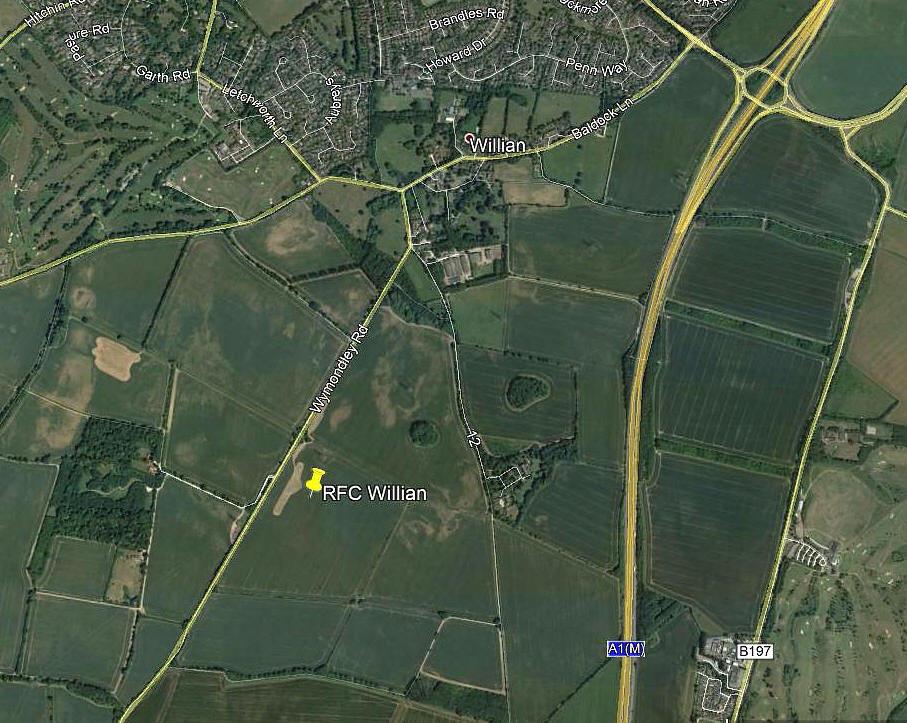
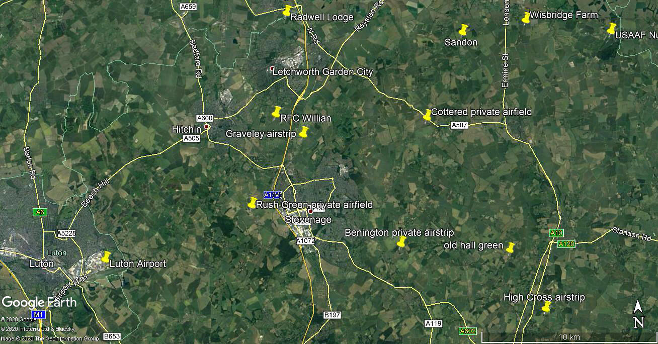
Note: Both of these pictures were obtained from Google Earth ©
Military users: RFC/RAF (Royal Flying Corps / Royal Air Force)
75 [Home Defence] Sqdn
Note: During WW1 75 Squadron operated Royal Aircraft Factory B.E.2c, B.E.2e and F.E.2b types. Later the Avro 504K and Sopwith Pup. But, did all of these types feature at WILLIAN?
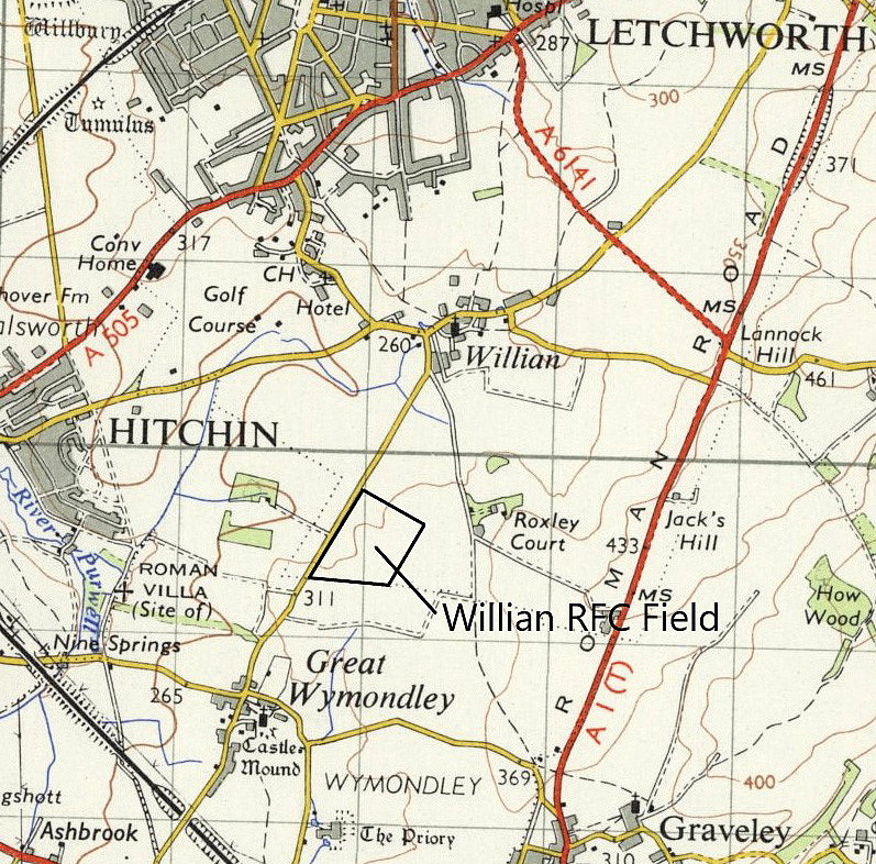
Location: Just NNW of junction 9 on the A1(M), in the southern outskirts of Letchworth
Period of operation: 1916 to 1919 (See NOTES below)
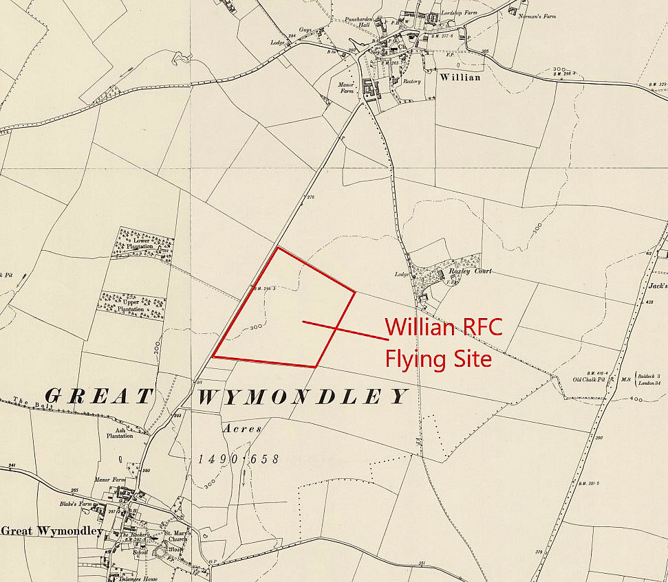
Site area: (WW1) 46 acres 439 x 375
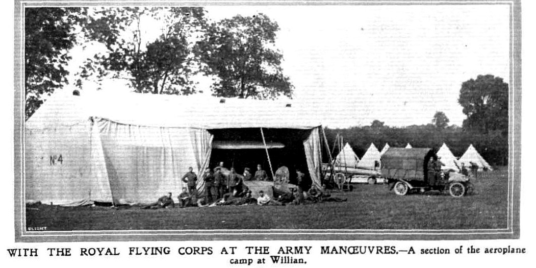
NOTES: Although 1916 is generally held to be the starting date for this aerodrome, but in fact this is incorrect. The proof comes from an accident report in 1912 when a RFC Deperdussin from No.3 Squadron, (based at LARKHILL), crashed with fatal results for both on board, at Graveley near Hitchin. Taking part in the huge military exercises of August and September, it had departed from CROWMARSH BATTLE FARM in OXFORDSHIRE and the destination was WILLIAN.
However, what we don't know is if the aerodrome in 1912 was just temporary for the period of the manoeuvres? I suspect it was? And of course, was the same site used in WW1?
If anybody can kindly offer advice, this will be most welcome.
In December 2020, Mike Holder, a great friend of this 'Guide', provided us with these maps and a picture:
We'd love to hear from you, so please scroll down to leave a comment!
Leave a comment ...
Copyright (c) UK Airfield Guide


