


Winters Farm
WINTERS FARM: Private airstrip
Location: Just E of the A29, and just SSW to SW of Pulborough town centre
Period of operation: 20.03.58 until 23.03.69 (Initially)
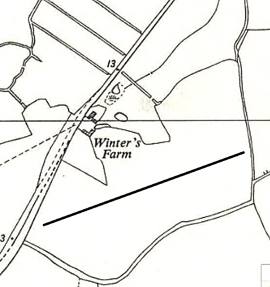
We have Mr Graham Frost, a great friend of this 'Guide', to thank for pointing out this location and providing the local map. I have added what I think may have been the position, roughly, of the airstrip then used, with a black line.
NOTES: Graham has also pointed out that the Auster 5, G-AHLK (ex NJ889), was registered to this address. Firstly to Mr Graham Ian Smith who co-owned it with two others from 20.03.58 until 01.01.68. He then registered it in his name from 26.06.68 until 23.03.69. I found it interesting that G-AHLK had previously been registered to Vickers Armstrong Aircraft Ltd at their Supermarine Works at HURSLEY PARK near Winchester.
HOWEVER
Looking at this location on Google Earth it certainly looks to me that in more recent years, (from 2024), that a later airstrip may be in use here? It has all the classic signs I have come to recognise. This one, if so (?) to the north of earlier airstrip being; 04/22 250 grass
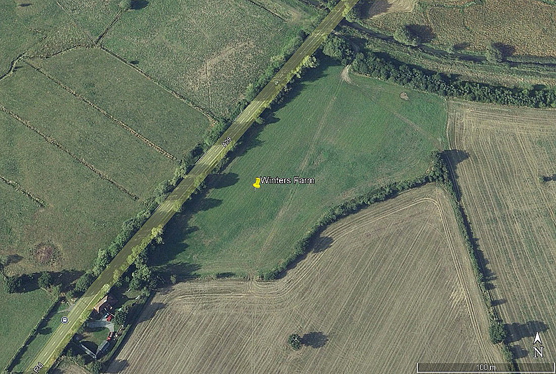
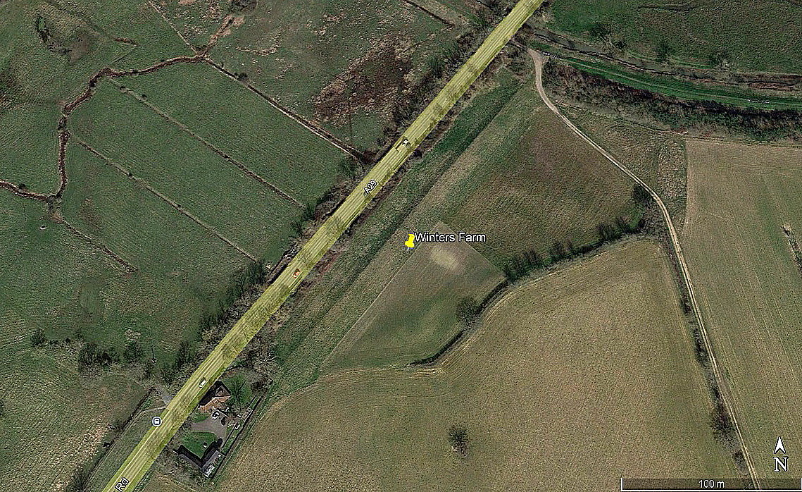
The first 2009 picture possibly showing signs? The first two pictures were obtained from Google Earth ©. The area view is from my Google Earth © derived database.
A REQUEST
If anybody can kindly offer advice and information, this will be much appreciated.
We'd love to hear from you, so please scroll down to leave a comment!
Leave a comment ...
Copyright (c) UK Airfield Guide

