Wyke Farm
WYKE FARM: Private airstrip/airfield (Aka BRADFORD ABBAS and THORNFORD)
Note: For my definitions, an airstrip is just that - airstrip, singular. Typically private and grass. For a location with two or more runways it is an airfield or aerodrome or airport or air base etc. Including private locations with two or more grass airstrips, or runways.
A MOST UNUSUAL EXAMPLE
We have Mr Graham Frost, a great friend of this 'Guide' to thank for pointing out this location. In some respects very much a case of, "here you see it, now you don't." I am struggling to think of another similar example.....and failing.
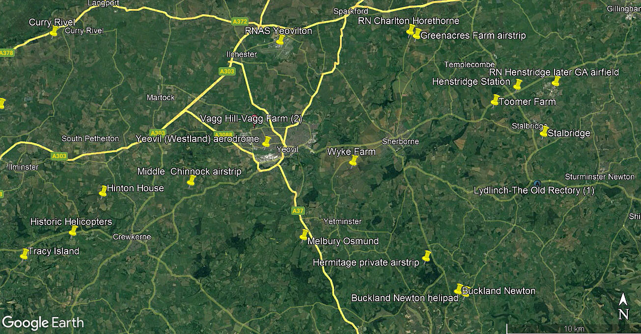
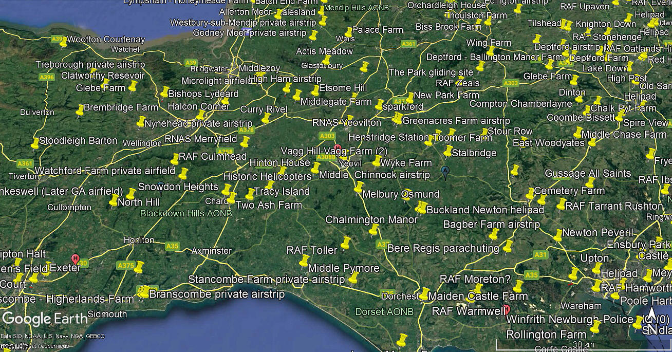
Location: Roughly 1nm N of Thornford village, about 2.5nm WSW of Sherborne town centre and 3nm ESE of Yeovil town centre
Period of operation: Unknown?
NOTE: There is much speculation regarding how accurate the dating system is on Google Earth © images. From years of experience I can say it appears very poor - but what else is similar? Nothing so far? So, accepting the faults and failings, at least these pictures are in sequence.
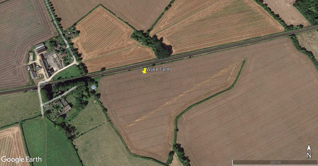
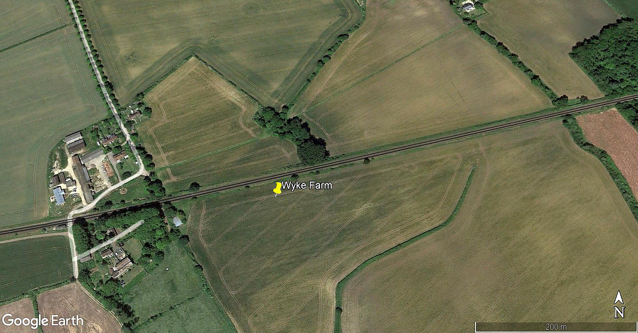
In the 2001 picture there is one strip: 06/24 490 grass (With a short 60m extension canted to the east, at the eastern end)
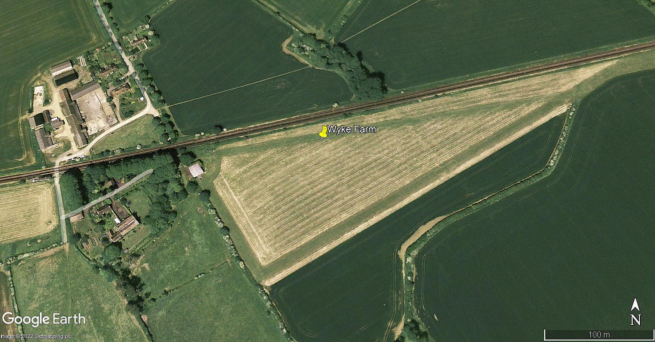
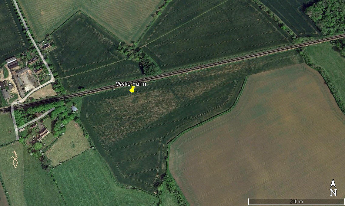
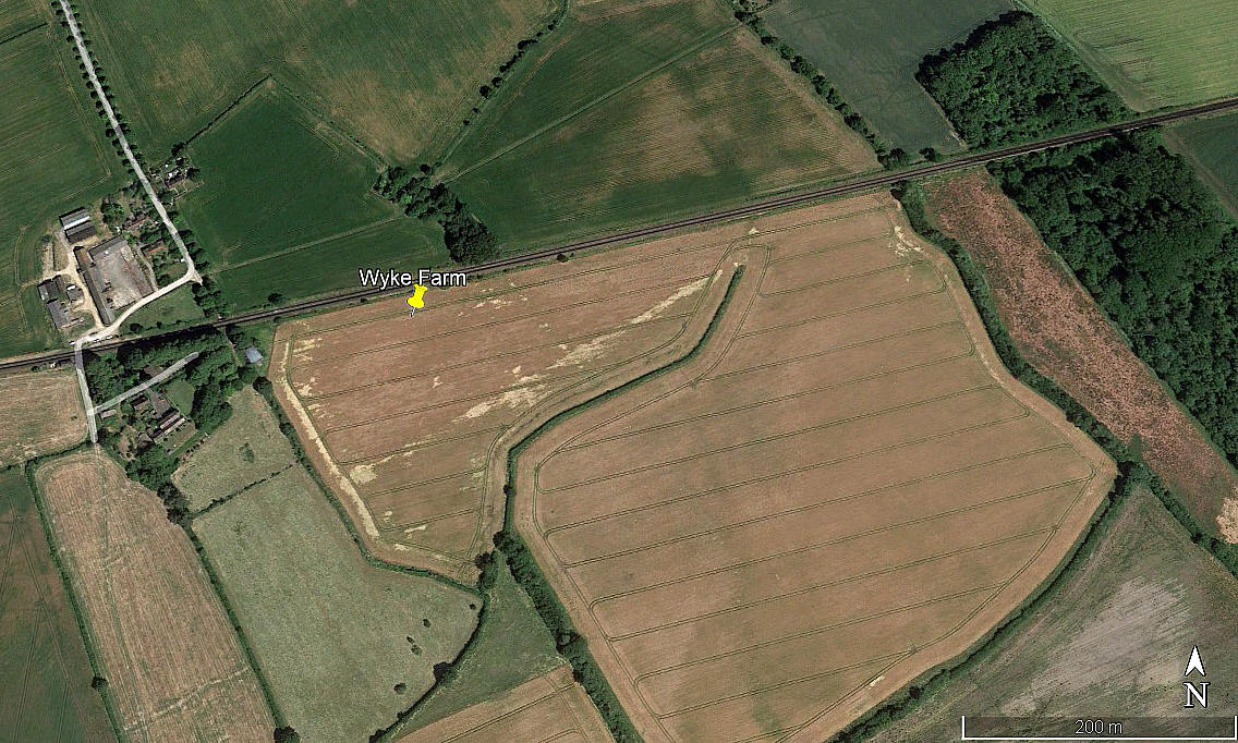
The 2006 and 2010 pictures show two strips: 06/24 400 grass 08/26 400 grass
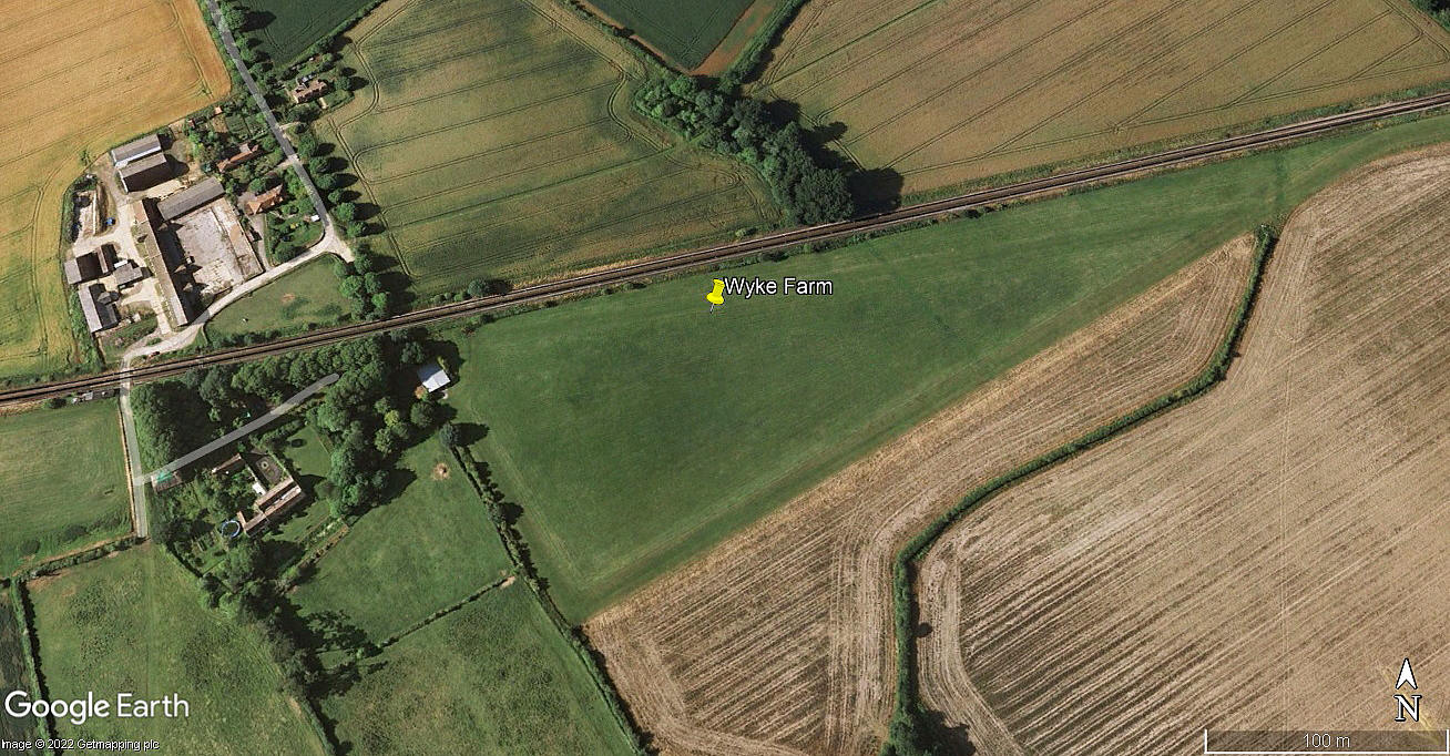
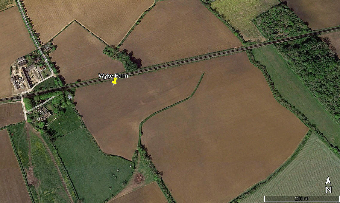
NOTE: Clearly disused in 2016? But, it seems, fully back in operation in 2017 with both airstrips as before. Lo and behold, gone again in 2018.
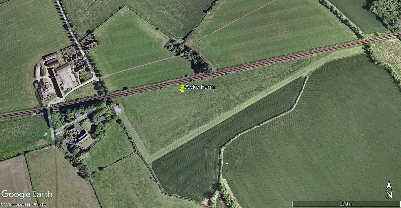
NOTE: The 2022 picture, (look at the field markings), appears to show the 08/26 runway, 540 metres long, has been reinstated?
NOTES: Probably a unique example of how a private flying site can evolve over many years? If anybody can kindly offer advice and information, this will be much appreciated. Plus of course, any pictures will be very welcome.
We'd love to hear from you, so please scroll down to leave a comment!
Leave a comment ...
Copyright (c) UK Airfield Guide


