Acaster Malbis
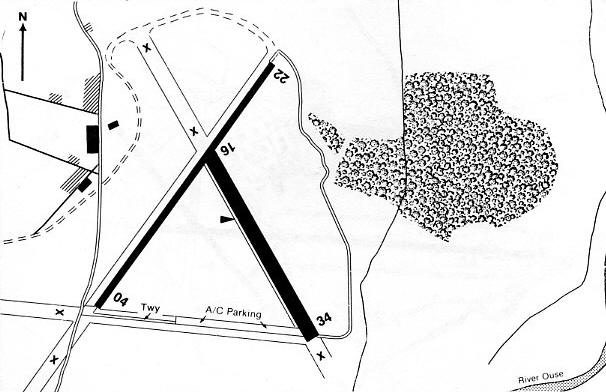
Note: Some time ago I made this remark: "I cannot be 100% certain, but I do believe this map gives the location of RAF ACASTER MALBIS. If anybody could be kind enough to confirm this, or provide a more precise location, this advice will be most welcome." See 'Comment' below.
ACASTER MALBIS: Military aerodrome later private airfield
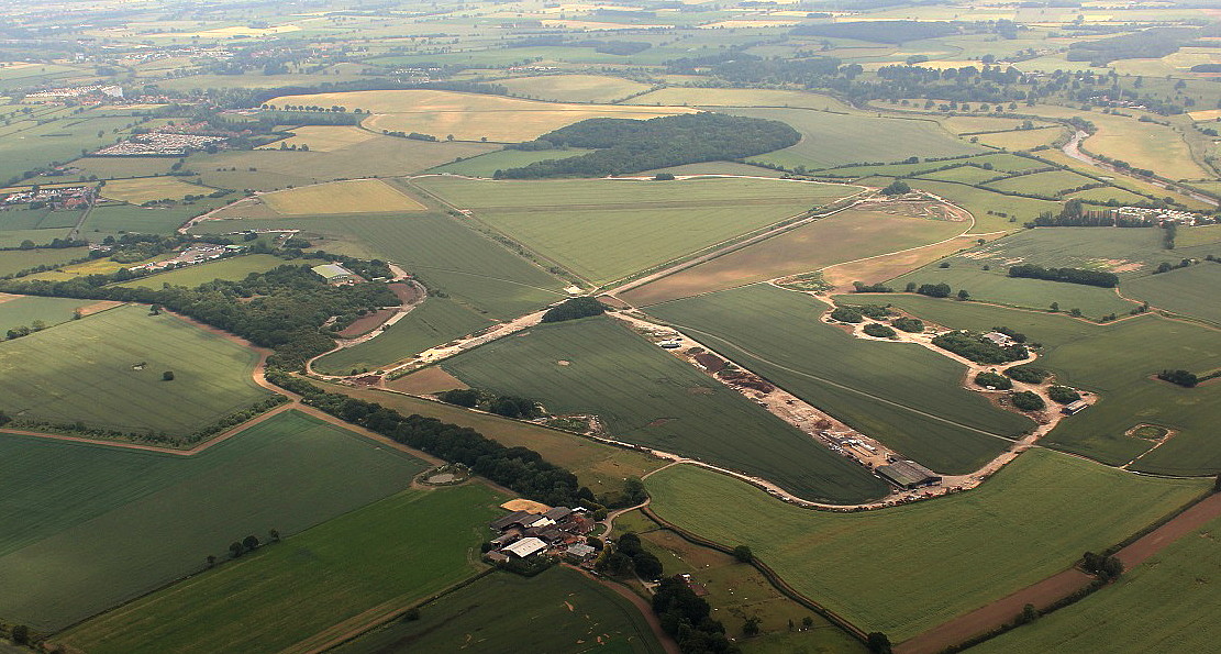
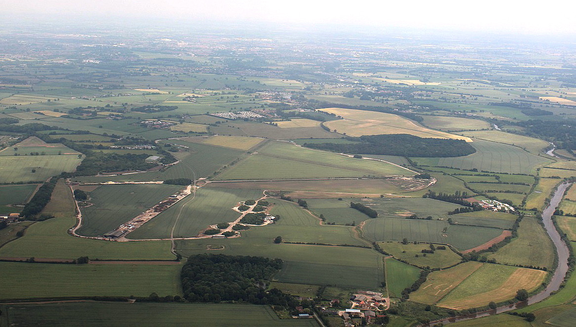
Note: Pictures by the author.
Military users: RAF Bomber Command 7 Group
1658 HCU (Heavy Conversion Unit) (Handley Page Halifaxs)
4 Aircrew School
RAFVR
601 Sqdn (Bell P-39 Airacobra)
Note: It appears that this was a short stay by 601 Sqdn. 2nd January to 25th March 1942. The Airacobra proved to be unsuitable for operational use.
Operated by: 1990: Mr C A Robinson
Location: W of B1222 & River Ouse, N of Acaster Selbly, 5.5nm S of York
Period of operation: Military: 1942 to 1946 Civil: 1980s to 1990s only?
Note: This map is reproduced with the kind permission of Pooleys Flight Equipment Ltd. Copyright Robert Pooley 2014.
Runways: WW2: 16/34 1280x46 hard 04/22 1830x46 hard
11/29 1280x46 hard
1990: 16/34 640x46 hard 04/22 1000x23 hard
NOTES: Not far away, in the Yorkshire Air Museum at ELVINGTON, they have a complete Handley Page Halifax on display, one of just two in the entire world. It is not original and is in fact a 'Bitsa' (Bits of this and bits of that) and not all Halifax parts either. But, the effect is totally convincing. What a wonderful achievement.
ANOTHER VIEW
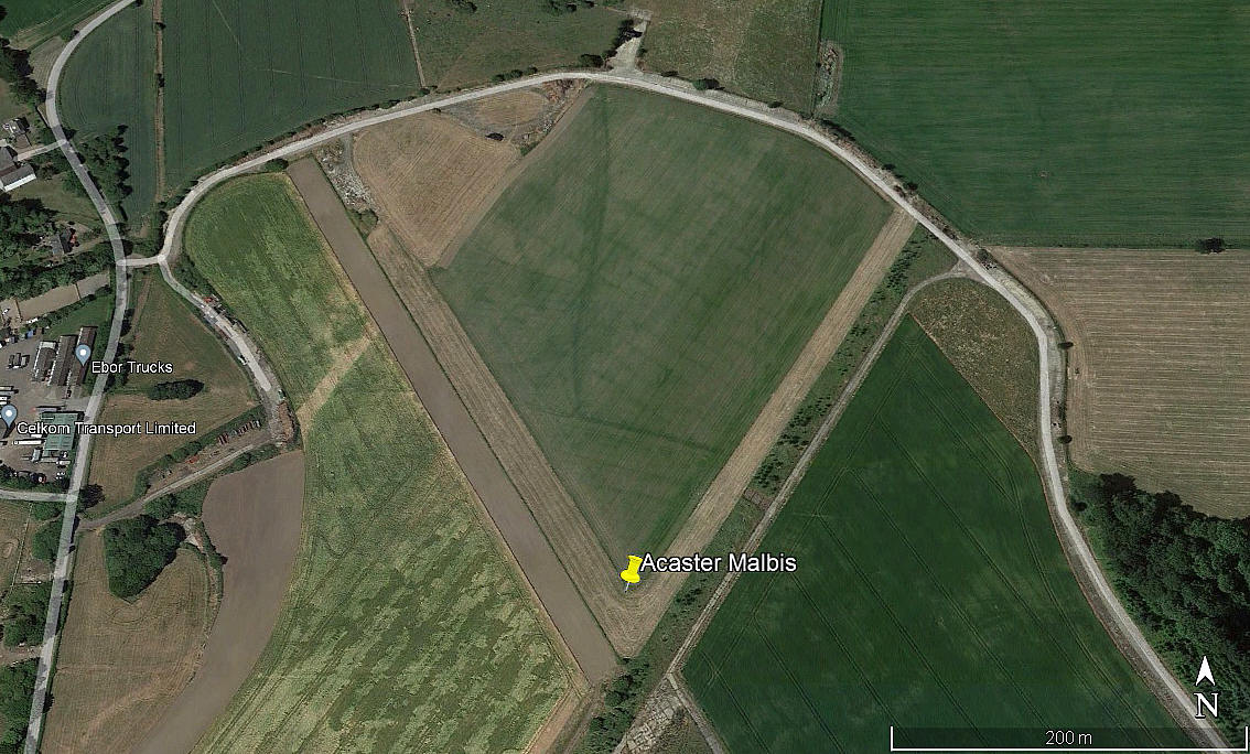
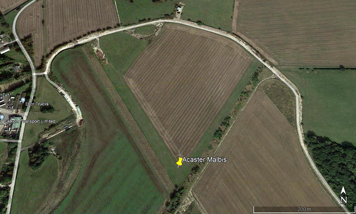
Note: These three pictures were obtained from Google Earth ©.
These detail pictures of the private airfield, situated at the north end of the WW2 aerodrome, have an interesting feature. There appears to be two parallel runways orientated 15/33. The west runway being 410 metres long, and the grass east runway 310 metres long. I cannot determine the nature of the surface of the west runway in the 2018 and 2022 pictures. Any ideas?
The other runway is = 04/22 360 grass
Simon Taylor
This comment was written on: 2018-03-17 20:44:03Yes map location is spot on. I grew up in the next village so know the location.
Reply from Dick Flute:
Hi Simon, Many thanks. Always glad to see I have something correct! Best regards, Dick
We'd love to hear from you, so please scroll down to leave a comment!
Leave a comment ...
Copyright (c) UK Airfield Guide


