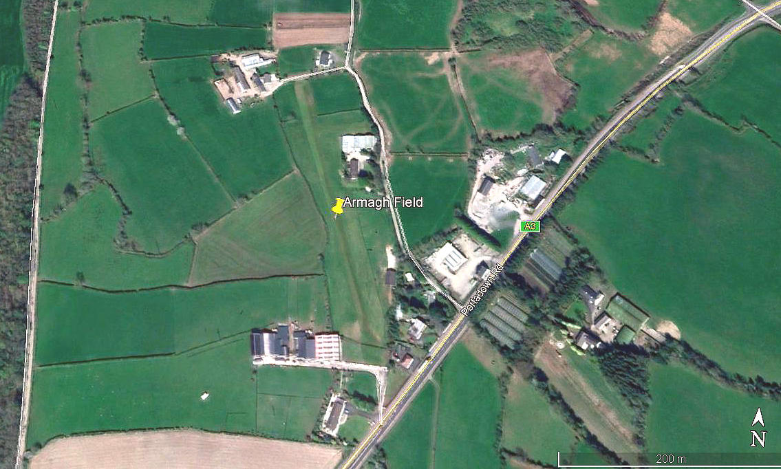
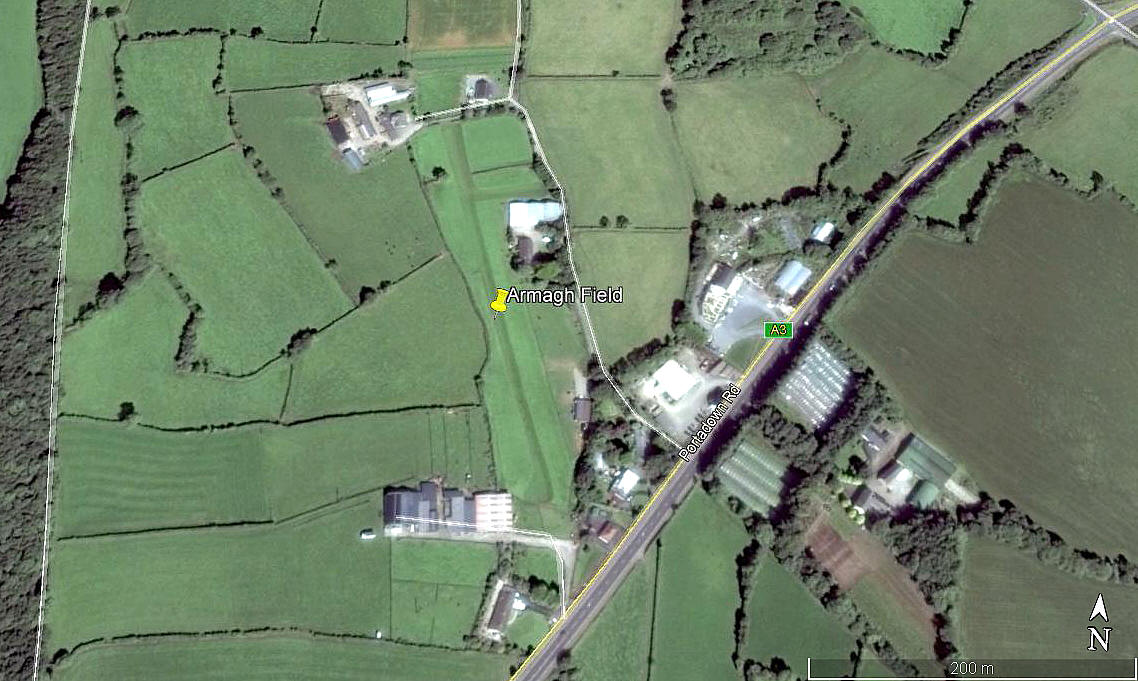
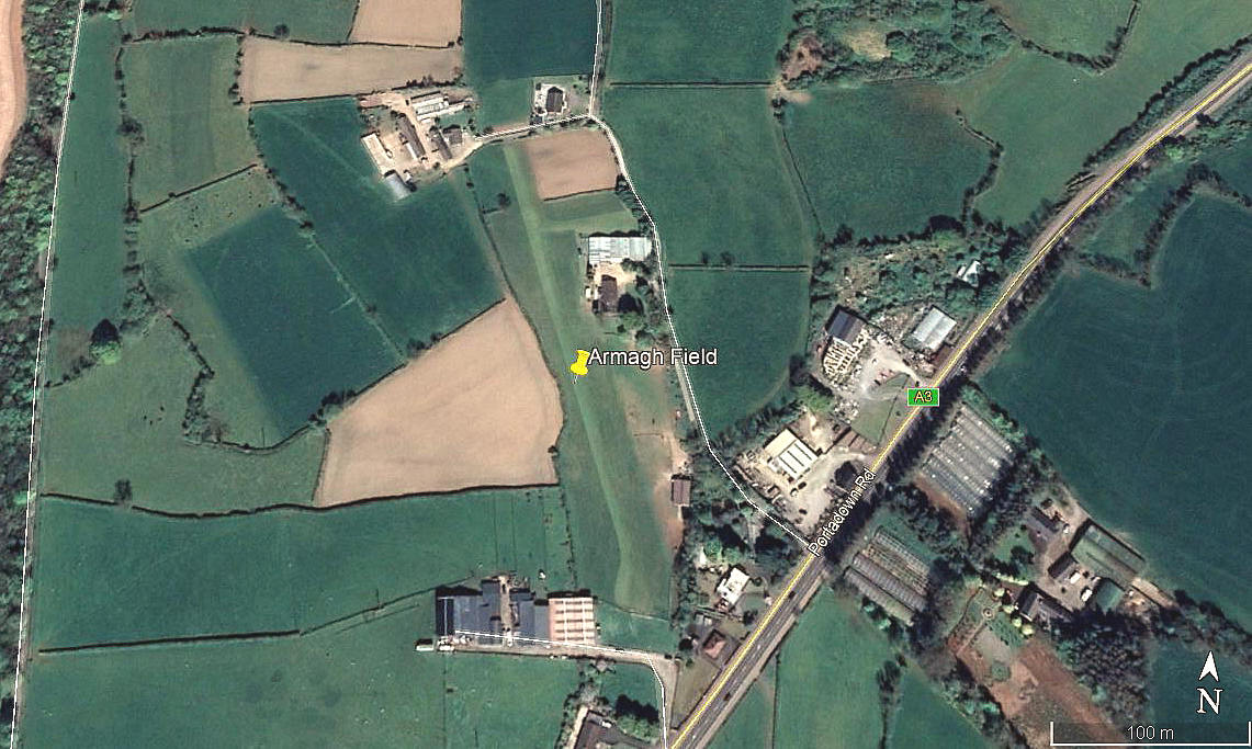
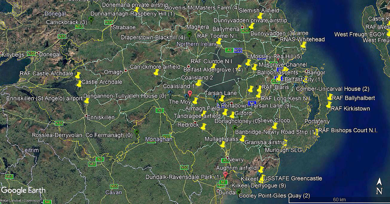
Armagh Field
ARMAGH FIELD: Private airstrip (Aka WOODVIEW)
Note: All four of these pictures were obtained from Google Earth ©
Location: Just N of the A3, roughly 3nm ENE to NE of Armagh town centre
Period of operation: Unknown ? Certainly 2014 to -
Runway: 16/34 290 grass
NOTES: It is such a shame that Northern Ireland appears to be, quite often, poorly served by Google Earth. In this case, in August 2020, the earliest images only dated back to 2014, whereas for most of the UK it is usually possible to go back to around 2002, and even 1999. Where this is the case it can often be an invaluable tool to show how some sites change over the years, and of course, sometimes help to determine the period of operation for more recent sites.
As always, if anybody can kindly offer advice about this airstrip, this will be most welcome.
We'd love to hear from you, so please scroll down to leave a comment!
Leave a comment ...
Copyright (c) UK Airfield Guide


