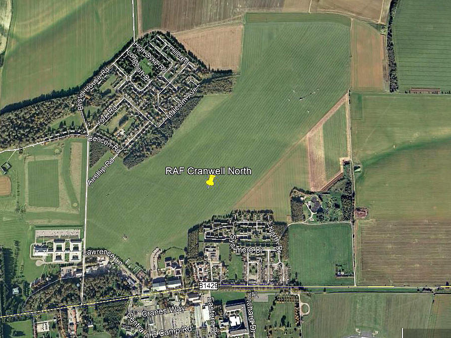
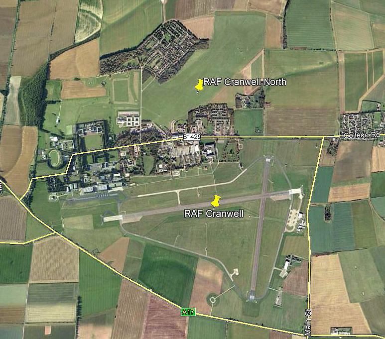
Cranwell North
CRANWELL NORTH: Military airfield and airship + balloon training base
Note: Both these pictures (2010) were obtained from Google Earth ©
Military users: WW1: RNAS/RFC/RAF (Royal Naval Air Service / Royal Flying Corps / Royal Air Force)
Kite Balloon Training Depot
Free Balloon Training Depot
Class G Airship Training Station
WW2: RAF Technical Training 27 Group (Radio School)
Post 1945:
Flying club/school: 1959 ‘snapshot’. RAF Flying Club Cranwell
Gliding: 1970s to 2000s (only?), normally used for gliding (aero-tows?)
Note: Cranwell Gliding Club
Location: N of B1429, 4.5nm NW of Sleaford. About 1500m north of hard runway 09/27 at RAF CRANFIELD
Period of operation: 1916 to present day
Note: This map is reproduced with the kind permission of Pooleys Flight Equipment Ltd. Copyright Robert Pooley 2014.
Site area: WW1 (See CRANWELL – South)
Runways: WW2: E/W 1005x46 hard E/W 2286 grass NE/SW 914 grass
SE/NW 1097 grass
1990/2000: 07/25 1100 grass (no width given)
NOTES: This is one of the few occassions where Steve Willis and Barry Hollis, in their exceptional book, Military Airfields in the British Isles 1939 to 1945, (The Omnibus edition which I have a copy of and have plundered relentlessly), have apparently got the location entirely wrong. Or have they? Has the area used for 'CRANFIELD NORTH' been displaced to another site further west? Or, has it always been where my map shows it and the Google Earth pictures shows it?
We'd love to hear from you, so please scroll down to leave a comment!
Leave a comment ...
Copyright (c) UK Airfield Guide


