Downham Market flying sites
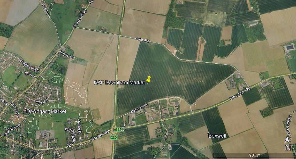
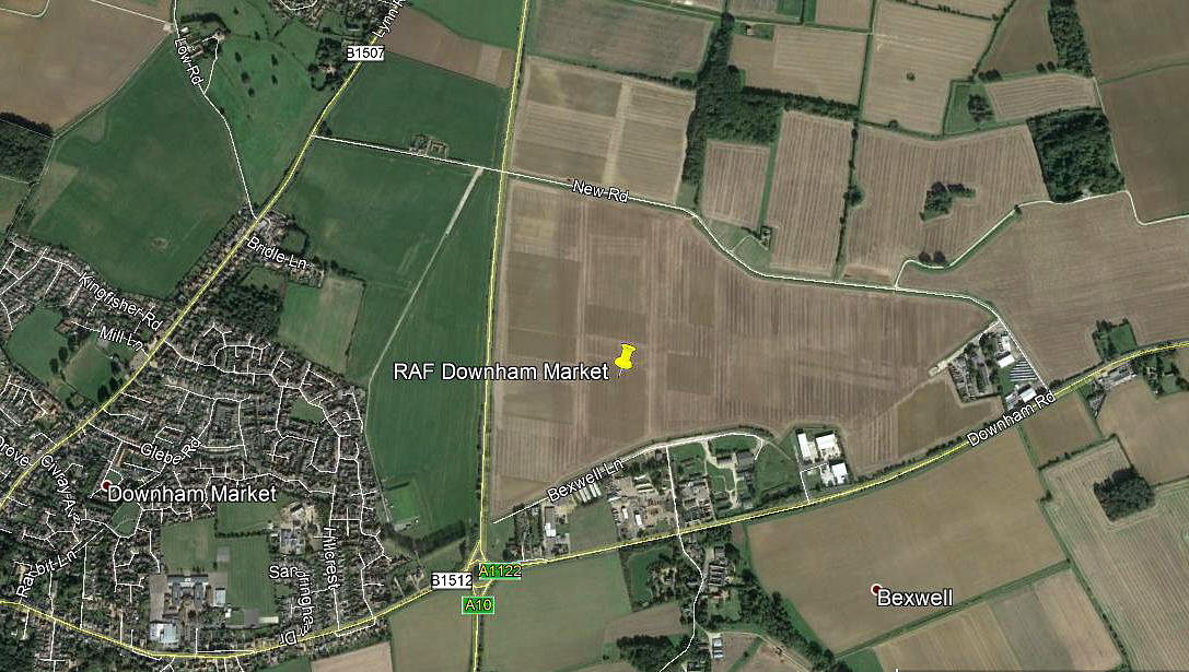
Note: This map shows the location of the WW2 airfield.
DOWNHAM MARKET: Military aerodrome
Note: Both of these pictures were obtained from Google Earth ©
This airfield is quite unusual in Norfolk, in as much as nothing seems to have remained for many years. In the first picture, presumably taken in a dry period, traces of the NW/SE and roughly E/W runways can just be discerned. There is also, on the south side, evidence that part of the WW2 infrastructure is still being used.
Military users: RAF Bomber Command 8 Group
218 Sqdn (Short Stirlings)
571 & 608 Sqdns (DH Mosquitos)
635 Sqdn (Avro Lancasters)
Location: E of the A10 and N of the A1122, SE of Wimbotsham & N of Bexwell villages. NE of Downham Market & 10nm S of Kings Lynn
Period of operation: 1942 to 1946
Runways: 09/27 1737x46 hard 03/21 1280x46 hard
15/33 1280x46 hard
Note: 36 ‘Frying pan’ hardstandings (for one bomber each?)
DOWNHAM MARKET: Temporary heliport
Operated by: BEA (British European Airways)
Location: ?
Period of operation: June to September 1948
NOTES: See PETERBOROUGH for more details
We'd love to hear from you, so please scroll down to leave a comment!
Leave a comment ...
Copyright (c) UK Airfield Guide


