Earls Barton
EARLS BARTON: Military Landing Ground, also civil aerodrome pre WW2
(Aka GRANGE FARM)
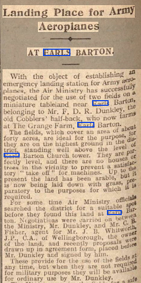
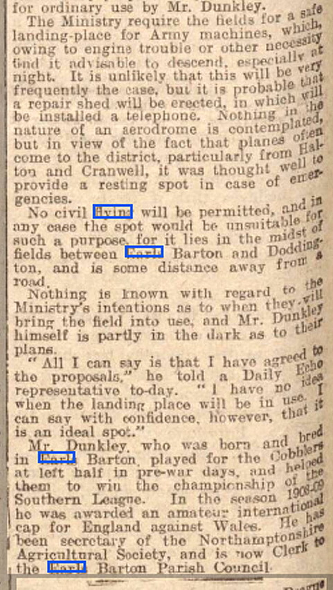
Operations: Originally an Air Ministry site, for use by Army aircraft as an ELG. Opened on the 23rd September 1927, with no civil flying being allowed. Probably little if ever used? However, from the 7th June 1928, the Northampton Flying Club moved in.
Military user: WW2: RAF (Royal Air Force)
6 EFTS [Elementary Flying Training School] (de Havilland DH82A Tiger Moths)
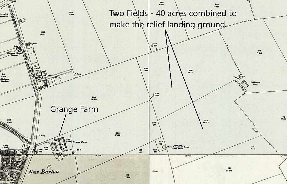
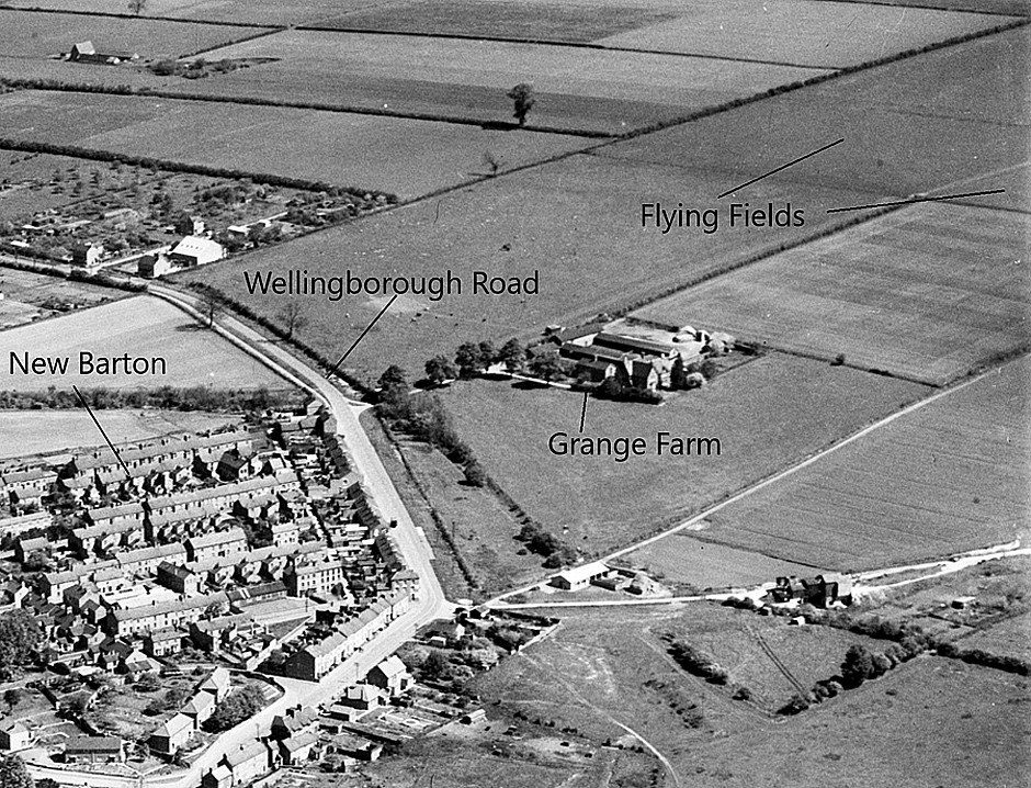
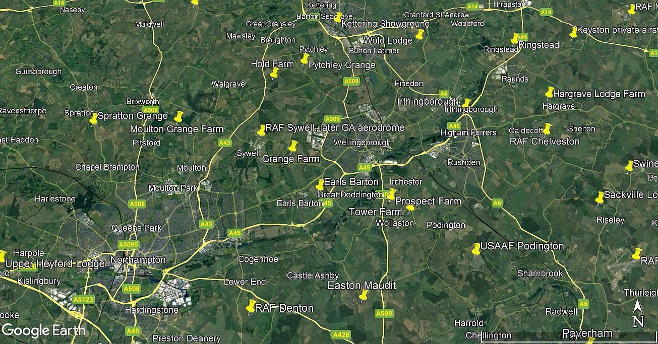
Location: Near and E of Earls Barton, between the A4500 and A45 today. About 6nm ENE of Northampton city centre and roughly 2.5nm SW of Wellingborough town centre
Period of operation: 1927 to ? End of WW2?
A MICHAEL T HOLDER GALLERY
Very little information seems to be available regarding this location. In mid 2022, Mike Holder, a great friend of this 'Guide', decided to take it upon himself to see what information might be around. And, as can be seen below, quite a lot exists.
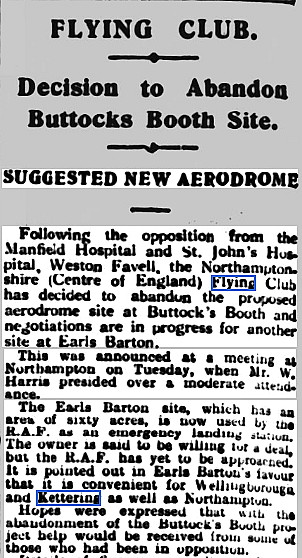
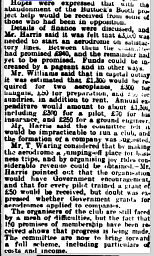
The two part article above was published in the Northampton Mercury on the 23rd September 1927.
The next two part article was published in the Northampton Chronicle and Echo on the 7th June 1928. The eighth item, another article, was published in the Northants Evening Telegraph on the 2nd May 1939.
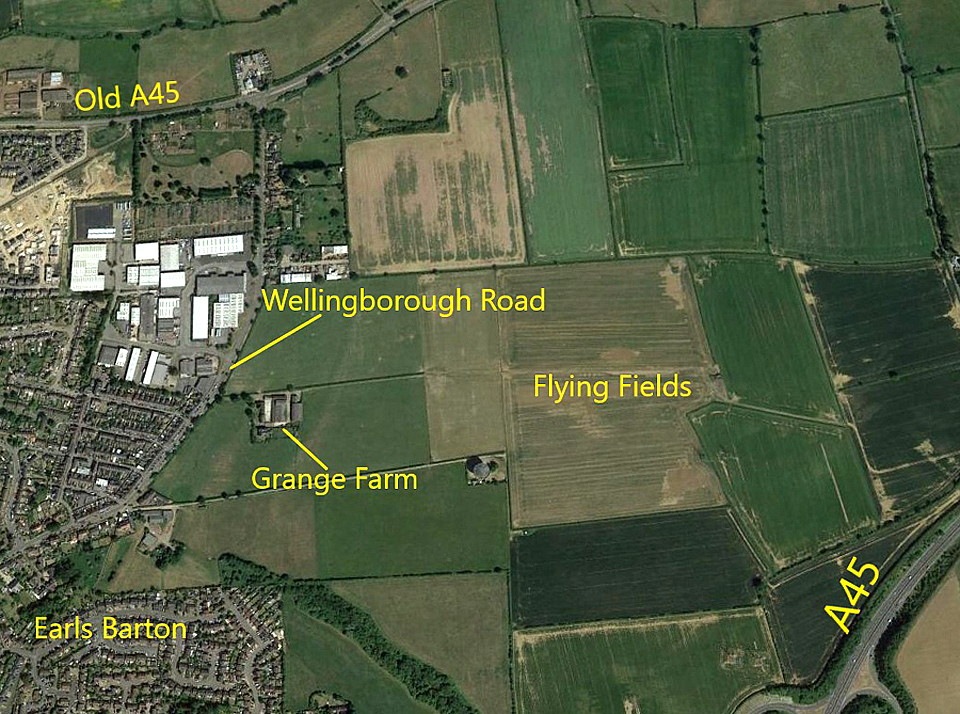
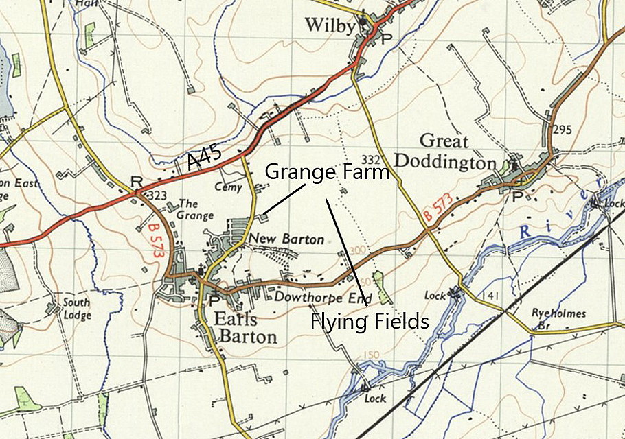
The excerpt above is from the East Midland Geographer published in 1981. The area view is from my Google Earth © derived database.
NOTES: As always in this 'Guide', if anybody can kindly offer advice and information, this will be much appreciated. I wonder if any pictures might be available?
We'd love to hear from you, so please scroll down to leave a comment!
Leave a comment ...
Copyright (c) UK Airfield Guide


