Gorgie
GORGIE: Temporary Landing Ground
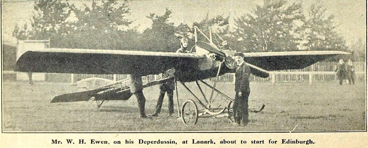
Operated by: Mr William Ewen
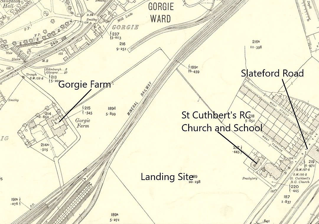
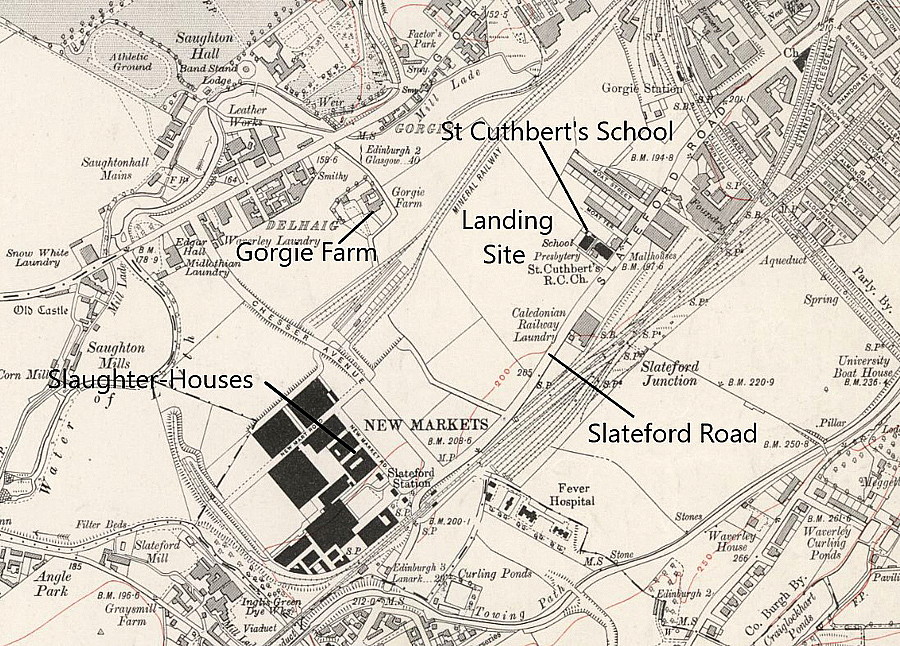
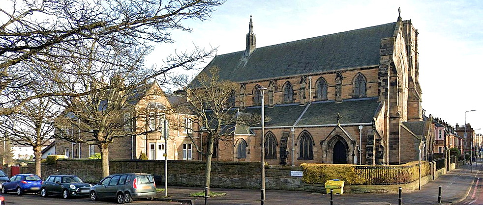
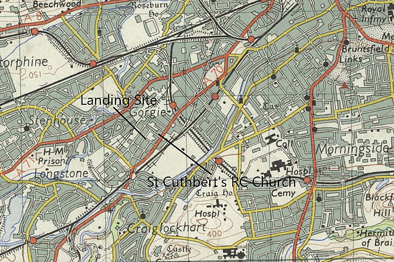
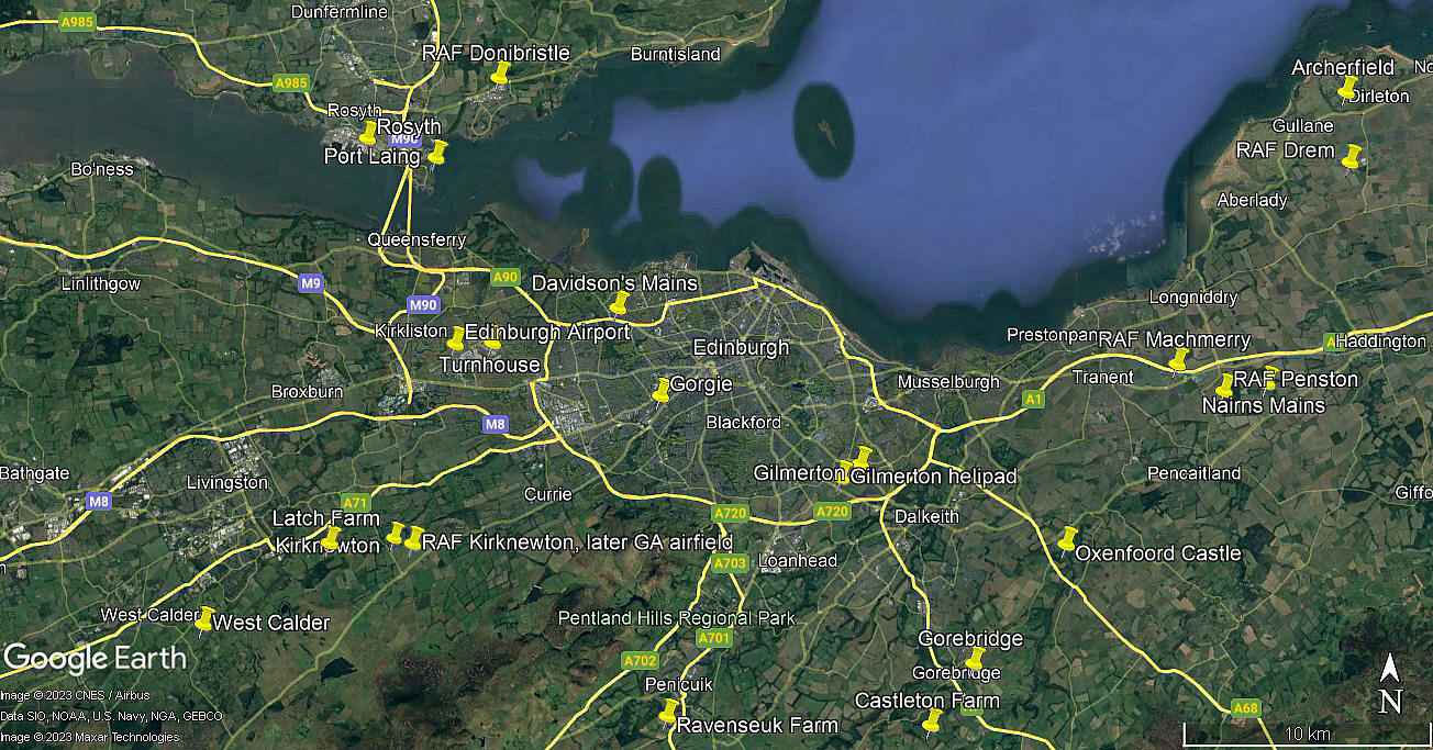
Location: Just W of St Cuthberts church and school, in the Edinburgh suburb of Gorgie, roughly 2nm SW of Edinburgh city centre and about 4.5nm ESE of Edinburgh (Turnhouse) airport
Period of operation: 28th October 1911
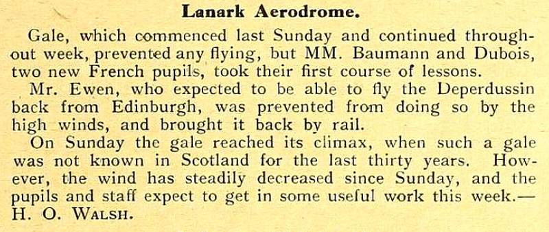
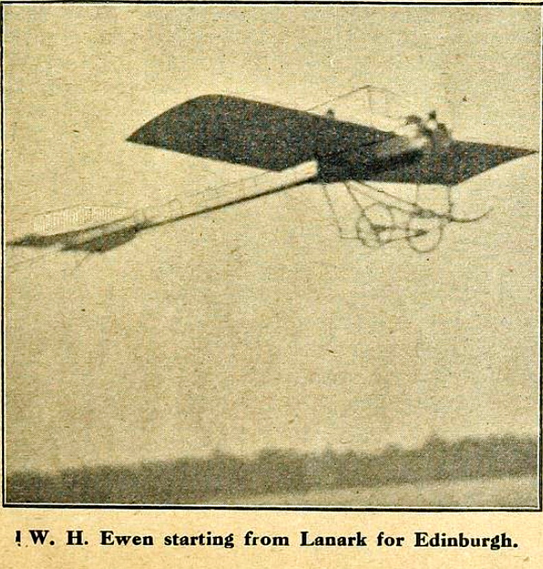
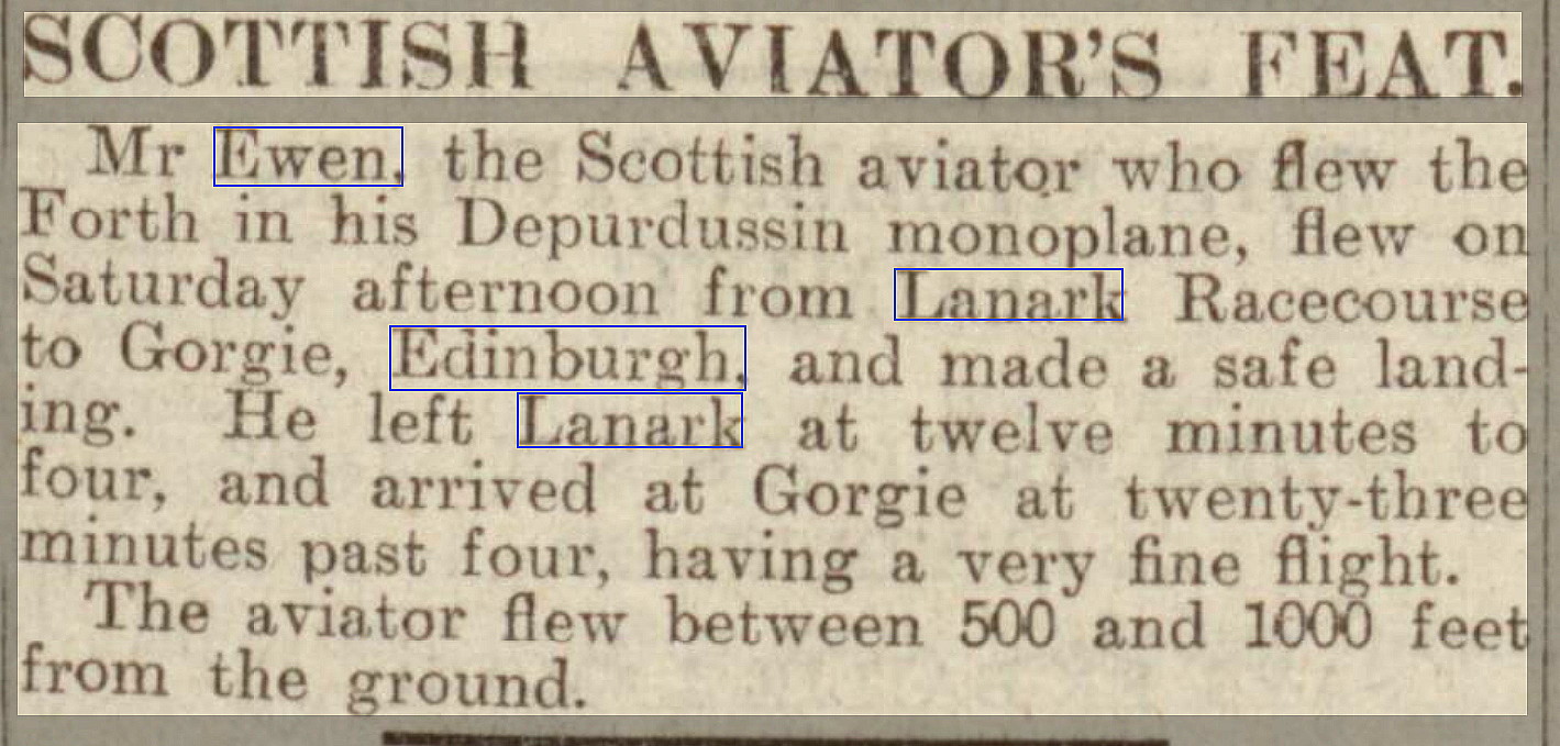
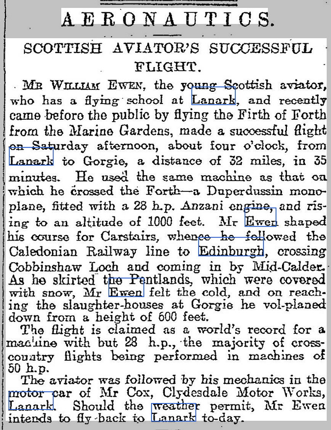
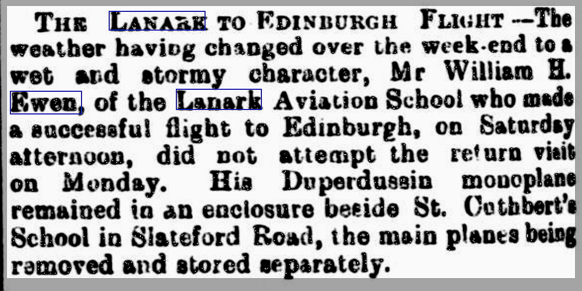
NOTES: Mr William Ewen, a famous aviator of that era, made a flight in a Deperdussin from Lanark to Edinburgh. His intention was to fly back to Lanark but a gale blew up. The aeroplane was dismantled and shipped back by rail - most of the way of course - as road transport was needed at both ends. At that time this was quite an adventuresome undertaking as cross-country flights were still in their infancy. Indeed, the first flight in a British powered aeroplane had only taken place in the U.K. three years previously. But we British were very slow in taking to powered aeroplanes, the French especially being far more advanced.
A MICHAEL T HOLDER GALLERY
We have Mike Holder, a great friend of this 'Guide', to thank for delving into the history of this flight.
These three items were published in The Aeroplane on the 9th November 1911.
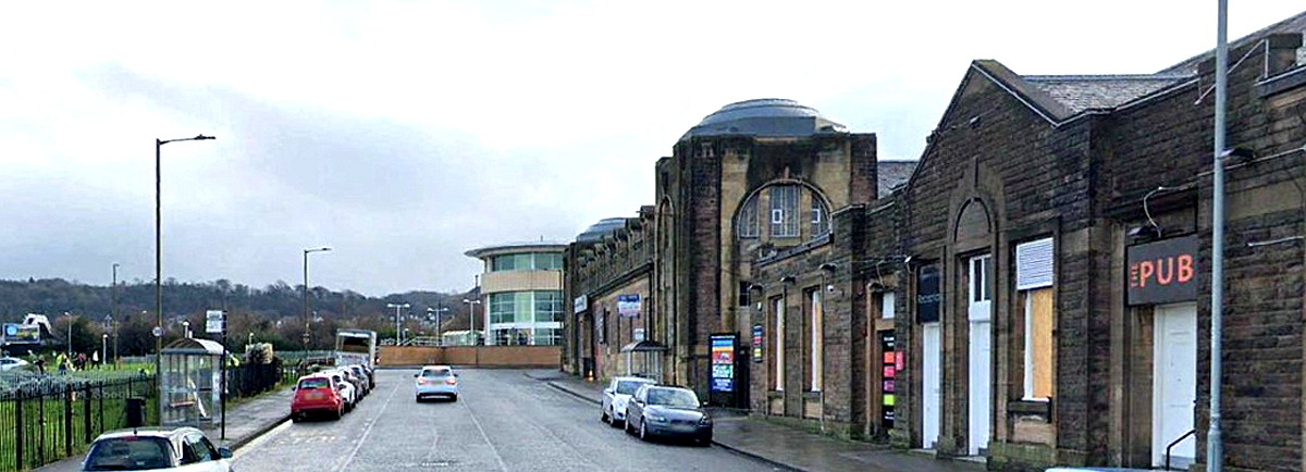
The first item, a Google Street View ©, is of St Cuthberts Church and school. The first article above was published in the Dundee Courier on the 30th October 1911. The second article, also published on the 30th October, appeared in the The Scotsman. The second Google Street View ©, is of the Slaughter Houses just to the west of the Landing Ground.
The short article was published in the Bellshill Speaker on the 3rd November 1911. The area view is from my Google Earth © derived database.
MORE NOTES
Although not intended to do so, this 'Guide' does serve to illustrate how so many early flying sites, and indeed later sites, have been subsumed in housing developments. Showing very well the expansion of suburban spread around our towns and cities in the last century or so.
I hear it said so often that this country is overpopulated. This is utter rubbish spread around by utterly ignorant stupid people who have no idea, some of whom are working in the press and media. One of the best ways to disprove this fallacy is to fly around the U.K. in a light aircraft. Most of the U.K. is actually quite sparsely populated!
It used to amuse me, when taking passengers on local flights from WYCOMBE AIR PARK and ELSTREE, to so often hear them say after landing, "Where have all the houses gone?" The answer being that due to mostly morons being in charge of planning developments, ribbon developments alongside roads, it is very easy to get this impression. When travelling around by road especially.
It has been of some interest to me, flying from/to Belgium and The Netherlands, that coming from northern France to Belgium, for example, you can see the difference between the two countries from miles away. Same goes when flying to/from Germany to The Netherlands. Would not like to put a figure on it, but my impressions are that population density in Germany is roughly similar to the U.K.?
I suppose the main point being that, although Belgium and The Netherlands are far more densely populated, the result has been that, since WW2, both countries have prospered to a much greater extent than the U.K. A lesson to be learnt?
We'd love to hear from you, so please scroll down to leave a comment!
Leave a comment ...
Copyright (c) UK Airfield Guide


