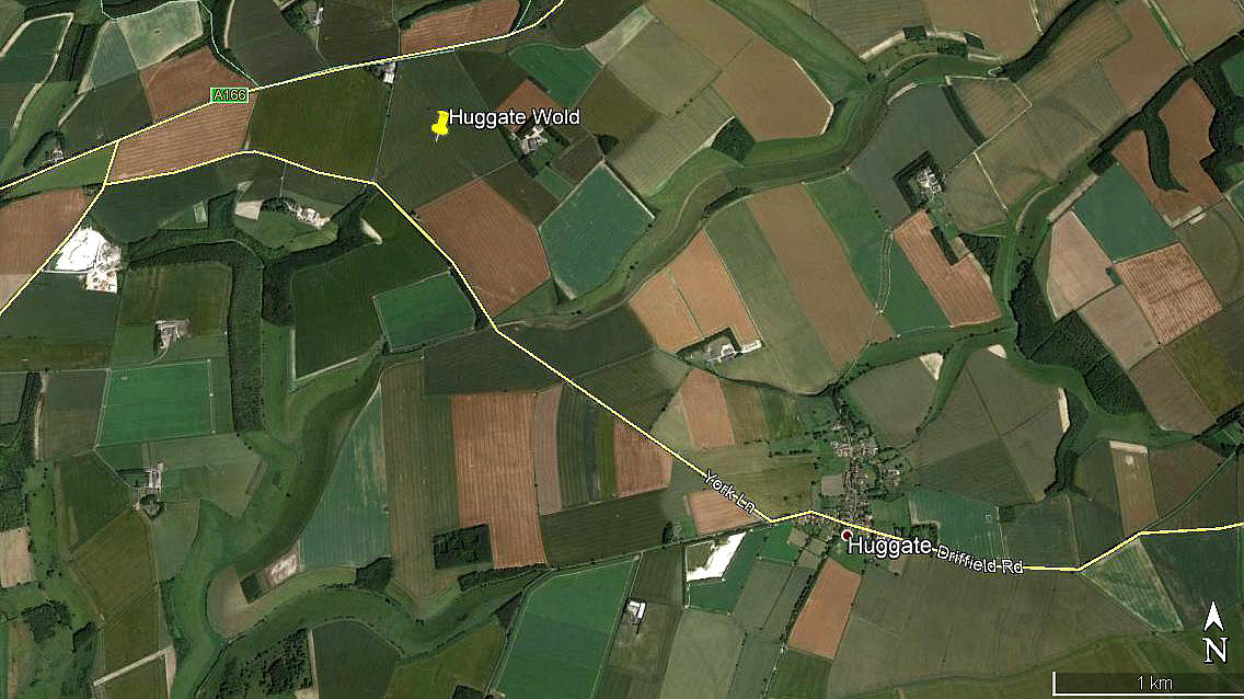
Huggate Wold
HUGGATE WOLD: Temporary airstrip or Landing Ground
Note: This picture was obtained from Google Earth ©
Here again, I have the Airfields of Britain Conservation Trust to help me pin-point this location.
Military users: RAF (Royal Air Force)
168 Sqdn (North American P-51 Mustang)
170 Sqdn (North American P-51 Mustang)
Location: Just S of the A166, and about 1.5nm NW of Huggate village. Roughly 7nm NE of POCKLINGTON, and roughly 18nm ENE of York city centre
Period of operation: October1943 only?
Landing area: Assuming that just the field seen in the picture was used, and it could easily have been extended I would imagine, it still offered maximum landing runs of 700 metres in the SW/NE direction, and 800 metres SE/NW. More than enough for experienced pilots flying Mustangs, especially as I very much doubt they would have been fully loaded.
Typically the Mustang had a take-off run of 1040ft (320 metres) and landing-run of 1520ft (465 metres)
NOTES: This all seems very odd. As far as I can make out this site was only used during October 1943.
Could it be that this was part of an exercise to practise finding and operating from very basic grass strips in preparation for the D-Day landings?
Paul Doyle
This comment was written on: 2020-03-02 17:12:27Huggate Wold was used only to test the effect of fighters landing on steel mesh runways, well in advance of these being used in Normandy.
We'd love to hear from you, so please scroll down to leave a comment!
Leave a comment ...
Copyright (c) UK Airfield Guide


