Now having 7,000 + listed!

Probably becoming the most extensive British flying sites guide online...?

portfolio1 portfolio2 portfolio3 portfolio4

Heading 1

This is an example of the content for a specific image in the Nivo slider. Provide a short description of the image here....

Heading 2

This is an example of the content for a specific image in the Nivo slider. Provide a short description of the image here....

Heading 3

This is an example of the content for a specific image in the Nivo slider. Provide a short description of the image here....

Heading 4

This is an example of the content for a specific image in the Nivo slider. Provide a short description of the image here....

small portfolio1 small portfolio2 small portfolio3 small portfolio4
themed object
A Guide to the history of British flying sites within the United Kingdom
get in touch

Landmead Farm


LANDMEAD FARM: Private airstrip and model flying site       

(Aka GARFORD - see seperate entry)

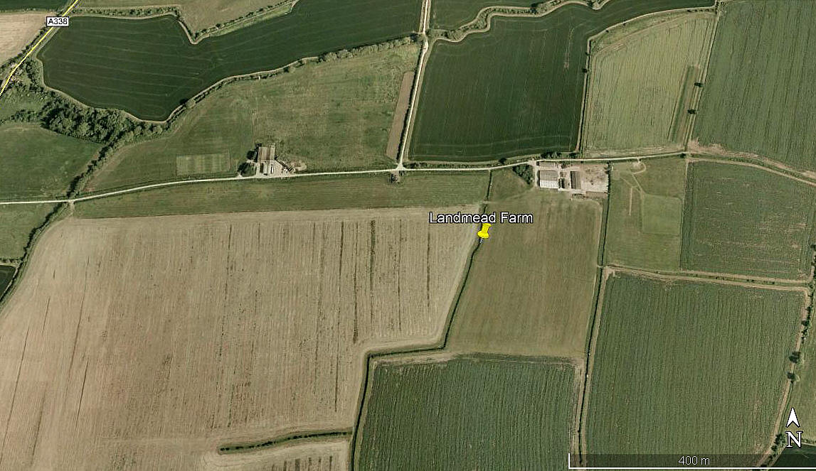
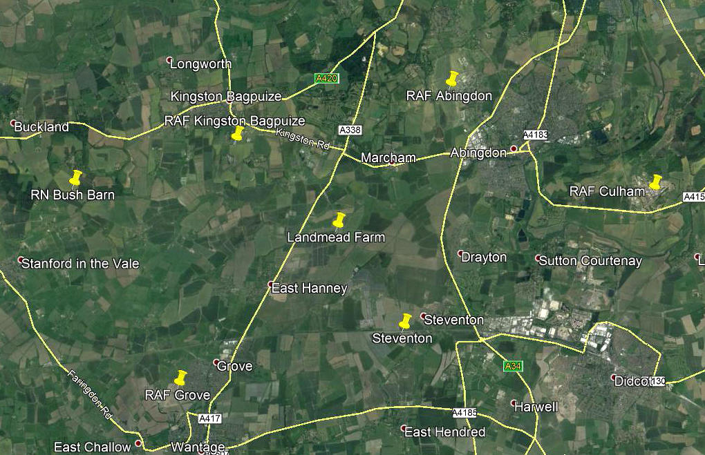
Aerial view 2004
Aerial view 2004
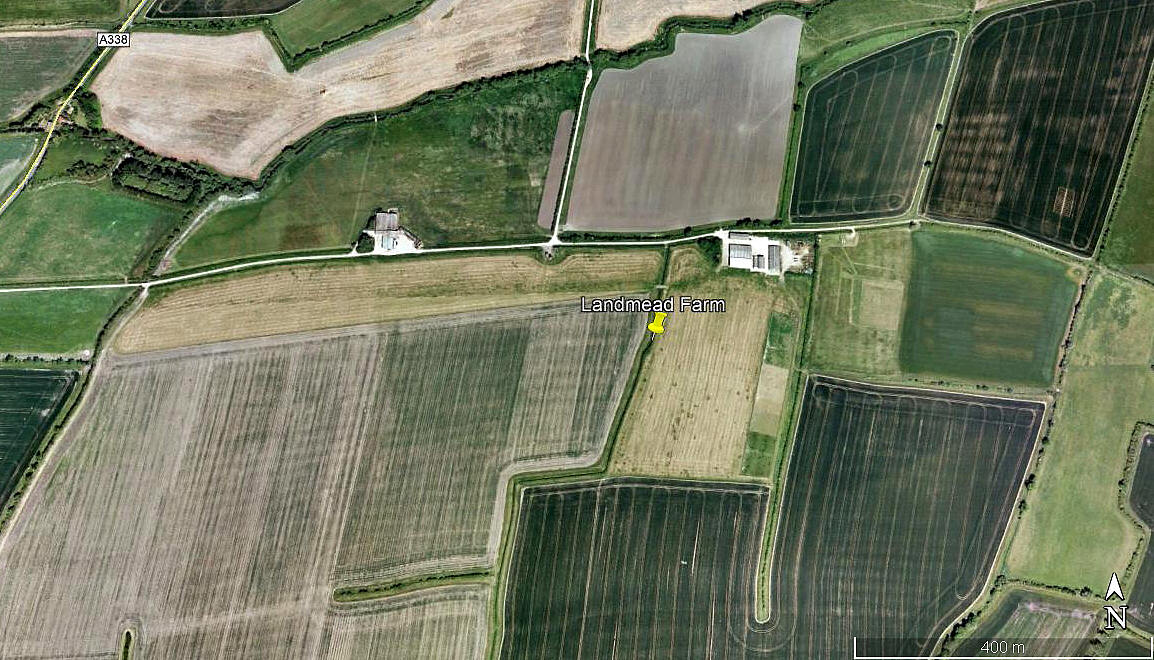
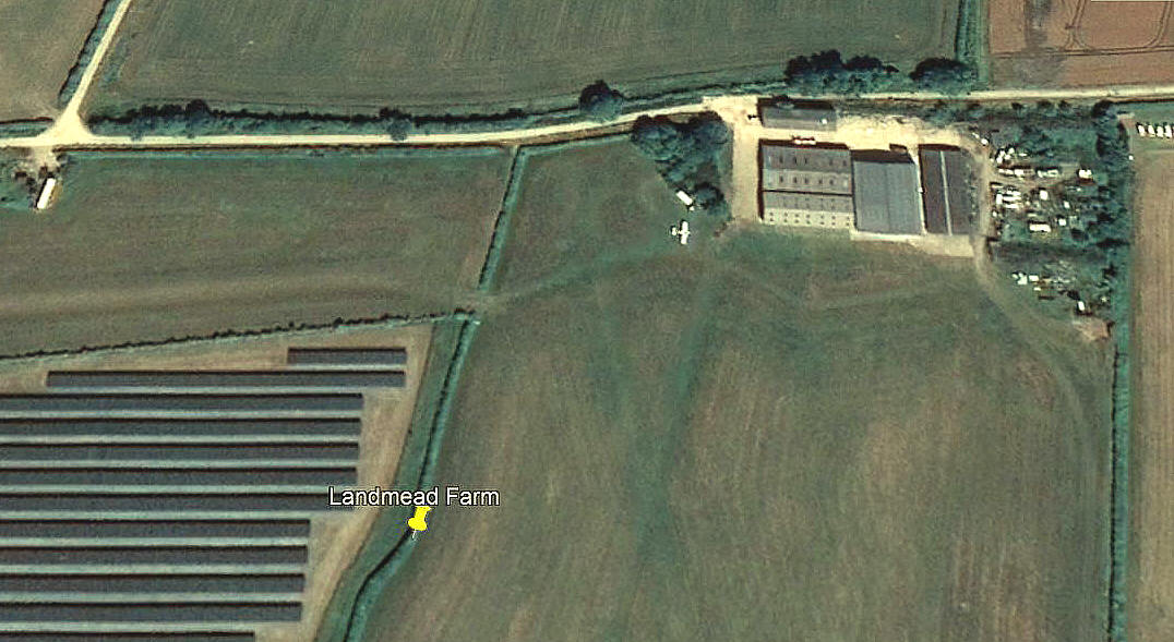
Aerial view 2009
Aerial view 2009
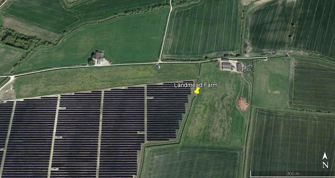
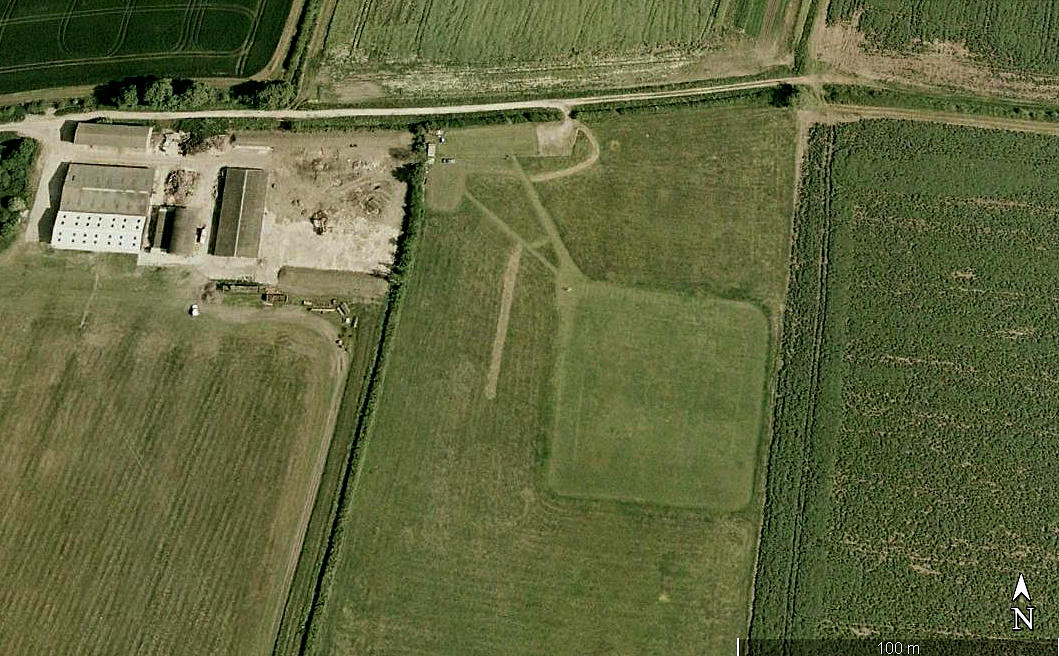
Aerial view 2017
Aerial view 2017


Note: These six pictures were obtained from Google Earth ©   


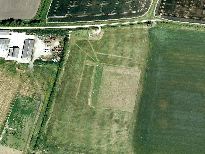
Aerial view 2018
Aerial view 2018
Area view 2018
Area view 2018
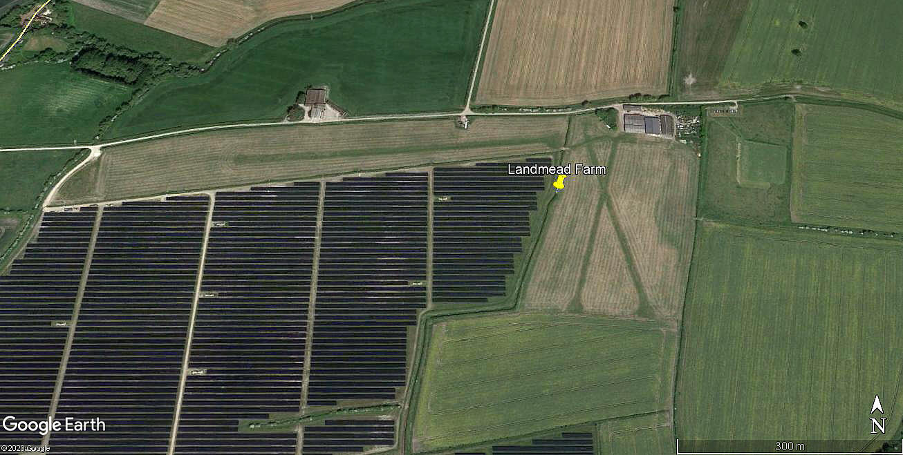
Aerial detail 2020
Aerial detail 2020


Location: E of A338, about 1nm SE of Garford, NE of East Hanney, roughly 3nm NNE to NE of Wantage

Period of operation: 1990s (?) to -
 

Runway: E/W   700   grass

In 2008 said to be;   800x70   grass

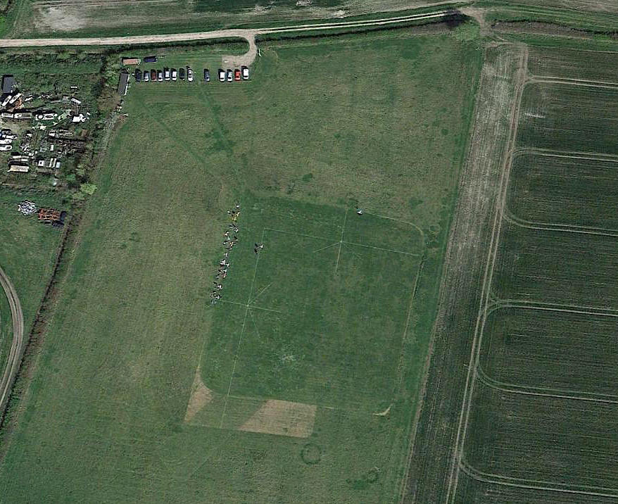
In 2018 there were three runways in an usual arrangement. The 09/27 runway was quite seperate from the other two. (See picture above)

09/27  520   grass          17/35   345   grass          02/20   310   grass


MODEL FLYING SITE
Operated by the North Berks Radio Model Aircraft Association. 

Aerial view 2004
Aerial view 2004
Aerial view 2009
Aerial view 2009
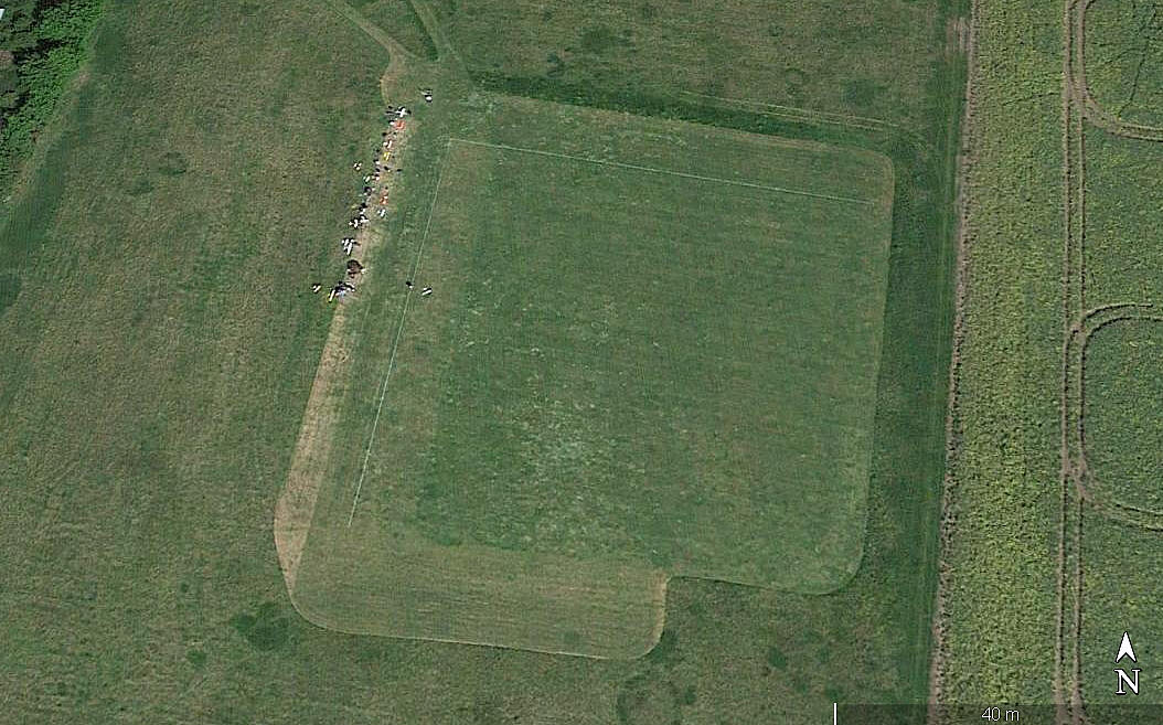
Aerial view 2017
Aerial view 2017
Aerial view 2018
Aerial view 2018


Note: All four of these pictures were obtained from Google Earth ©


NOTES: In about 2008 said to have about thirteen aircraft based here. Can anybody kindly confirm this? Any other advice and information will be much appreciated.


Michael Newman

This comment was written on: 2016-12-10 19:44:50
 
Coordinates 51.38.56N 001.22.22W now has Landmead Solar Farm - the largest in the UK - immediately to the south of the strip. Landed there once for my gyro instructor to take a leak - sure I got charged the time. But the best instructor ever!

 
Reply from Dick Flute:
Hi Michael, Many thanks for sharing that memory. Best regards, Dick


We'd love to hear from you, so please scroll down to leave a comment!


Leave a comment ...


Name
 
Email:
 
Message:


Copyright (c) UK Airfield Guide


slide up button