Newhaven flying sites
Note: This map only shows to position of Newhaven town within the UK.
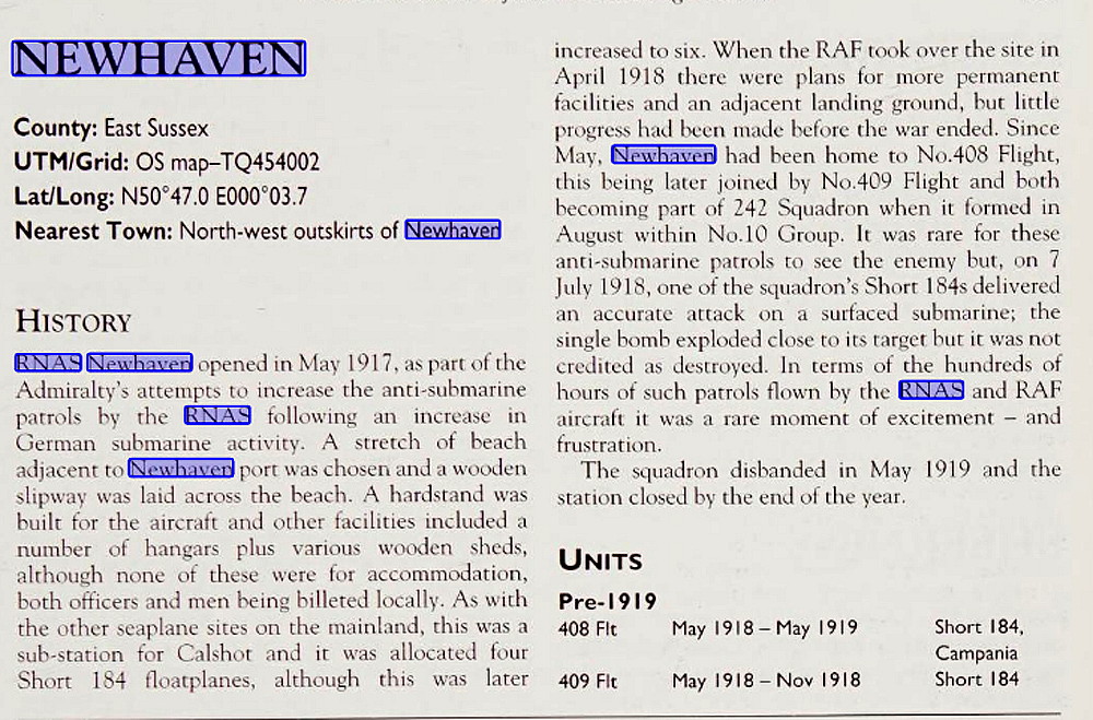
NEWHAVEN see also TELSCOMBE CLIFFS
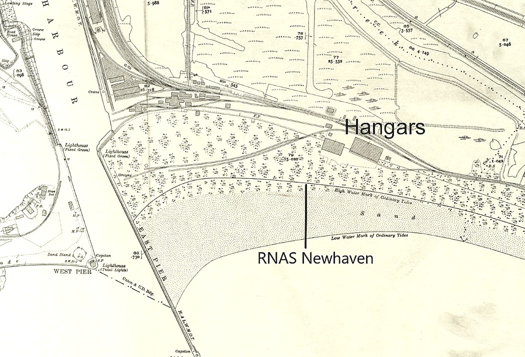
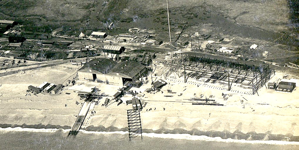
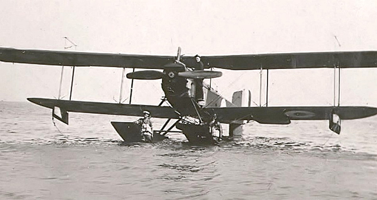
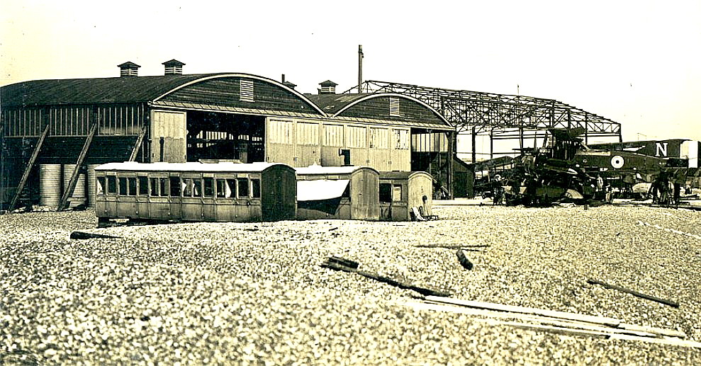
NEWHAVEN: Military Seaplane Station
Military users: RNAS [Royal Navy Air Service] and RAF [Royal Air Force] Seaplane sub-Station to Calshot
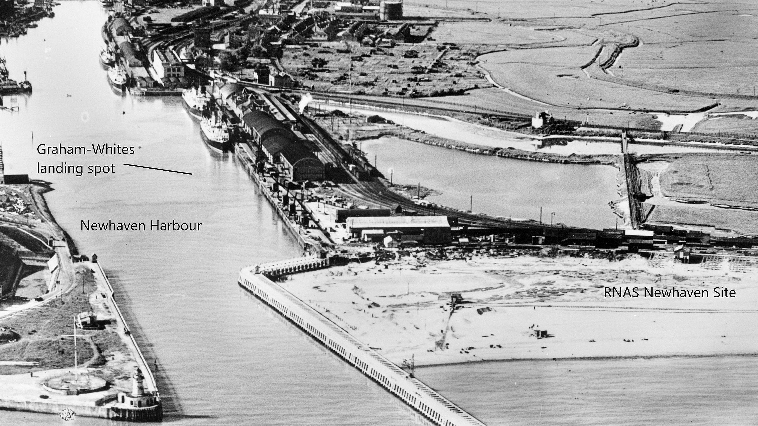
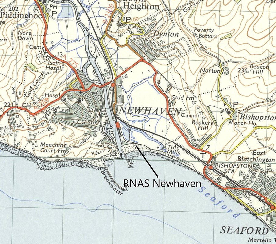
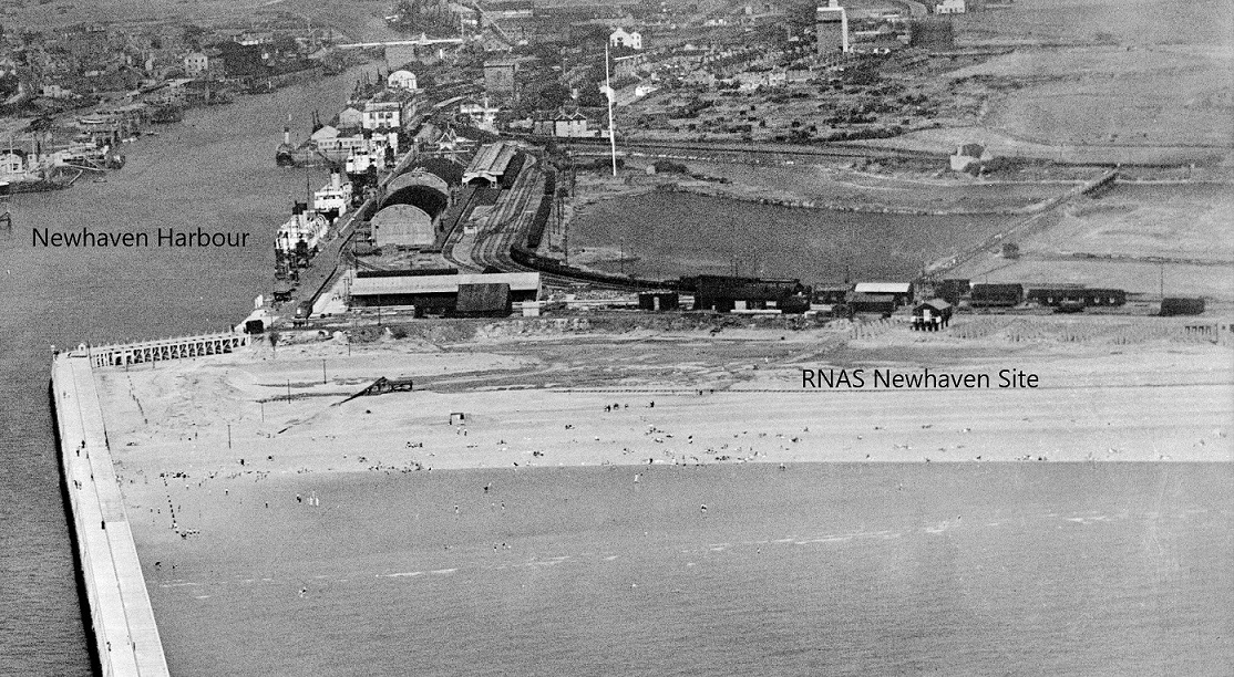
Location: On the E side of the River Ouse estuary, opposite and just SE of Newhaven town centre
Period of operation: 1917 to 1919
Site area: The seaplane Station occupied 5 acres
A MICHAEL T HOLDER GALLERY
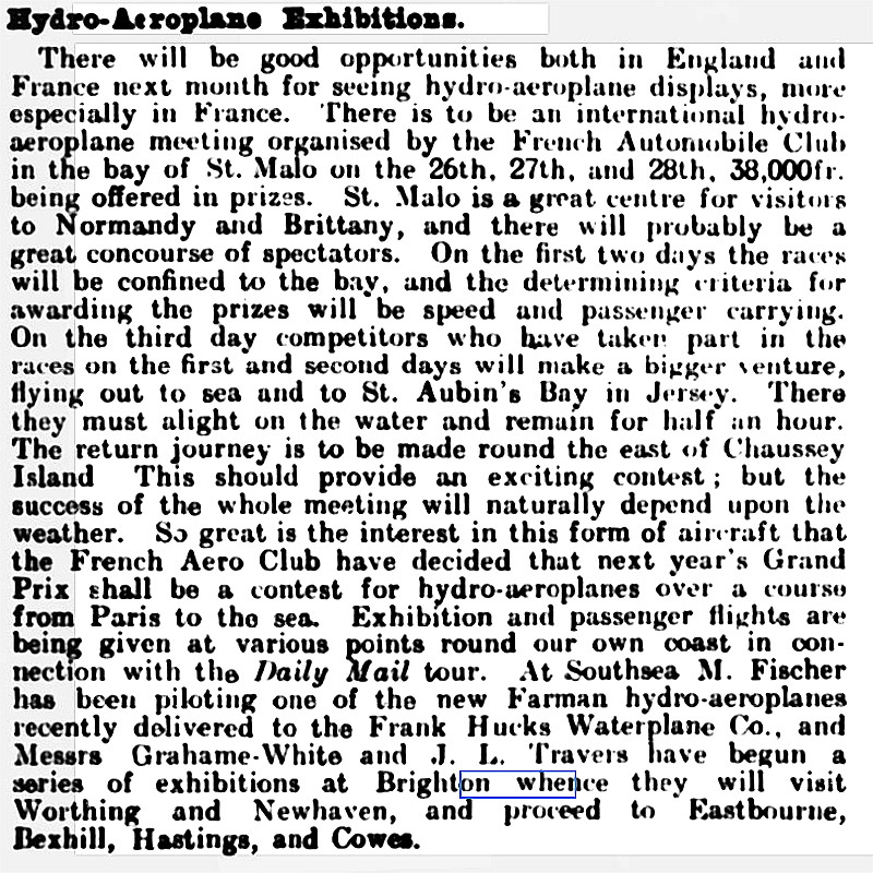
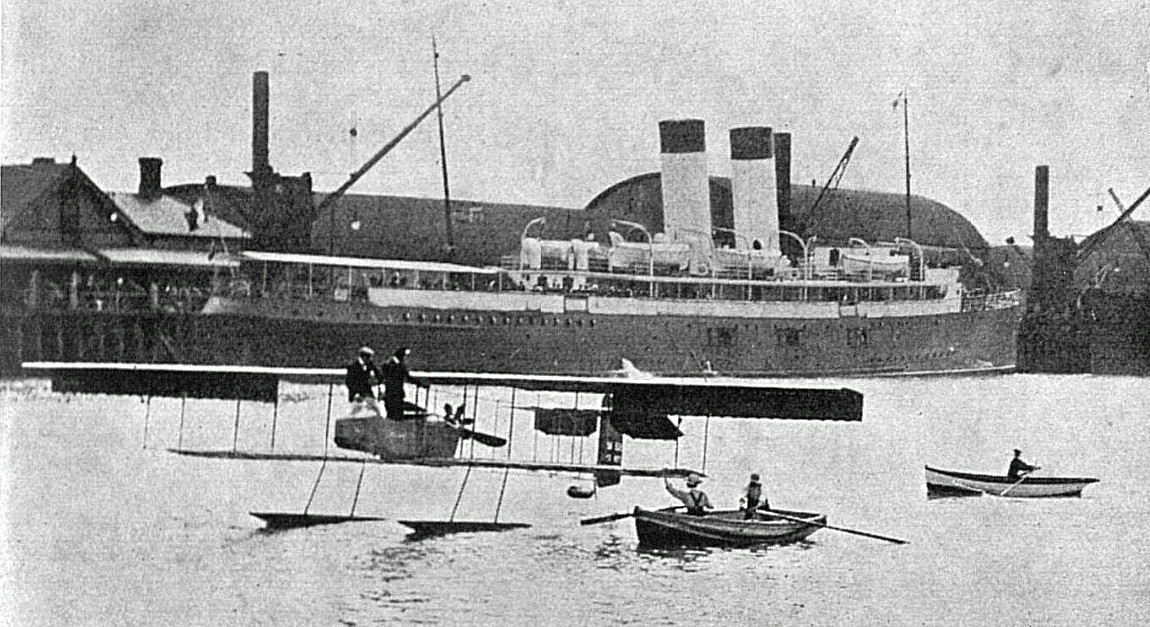
It appears that the river was used, at least twice, in 1912. See below:
Note: The second item is an article published in The Queen on the 27th July 1912. The third and fourth items were published in The Sketch on the 7th August 1912.
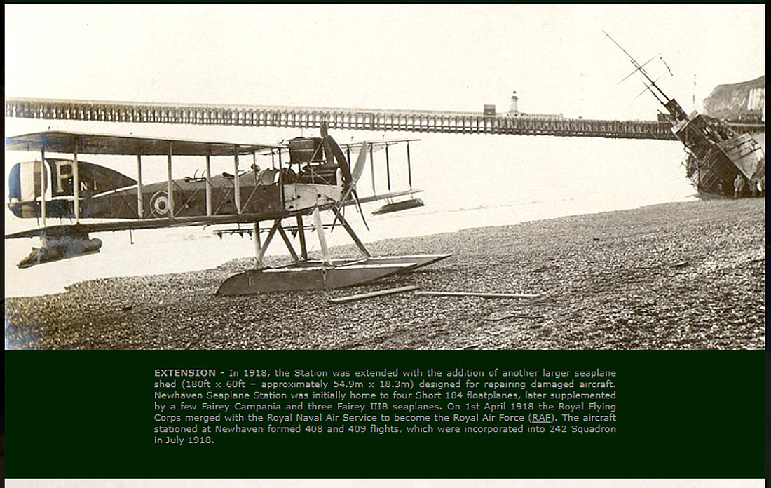
Note: The fifth and seventh pictures are from Historic Britain. The excerpt is from The Military Airfields of Britain by Ken Delve.
My note: Regarding the assertion made by Ken Delve in his book, most of the other seaplane sites in the mainland were not sub-stations of CALSHOT.
Note: The eighth and eleventh items are also from Historic Britain.
Note: This twelth item, the photo in May 1919, is also from Historic Britain.
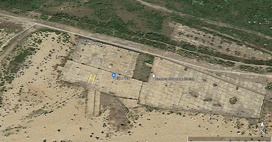
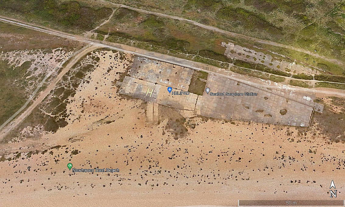
THE NEWHAVEN HELIPAD
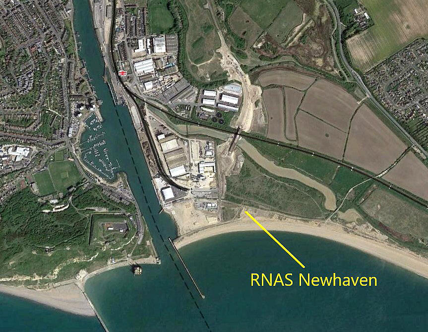
When looking at Google Earth © images, out of interest after Mike Holder had sent me the great info, maps and pics above, and to see if any evidence remains, I was astonished to find a helipad marked out. On the site of the RNAS Station. But, could find no information about how long it has been there, who uses it and indeed, how often? Can anybody kindly offer advice and information? Pictures of it being used will be very much appreciated.
Note: In May 2023 I learnt that it is rumoured that it was and still is intended for Coastguard helicopter use, but, no confirmation.
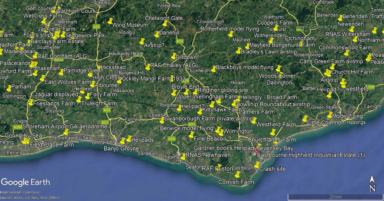
Note: The first two pictures were obtained from Google Earth ©. The area view is from my Google Earth © derived database.
NEWHAVEN: Gliding site
NOTES: In late 2017 I discovered this information gleaned from 'Early History of Southdown Gliding Club', written by A Yorke-Bramble, S/Ldr and founder secretary of the SGC.
A gliding meeting was arranged here in 1922, on the Downs near Newhaven, organised by a national newspaper. At this meeting the Frenchman Maneyrol, in a small machine with a tandem wing-plan, put up a world record time for soaring (ridge) of 3 hours 20 minutes. He was killed shortly afterwards in France when the machine broke up in mid-air.
"An interesting assortment of gliding machines attended that meeting; one being made from an old aeroplane. This was at a Press-sponsord meeting organised in the Itford area by the recently formed British Gliding Association. It was from here that Robert Kronfeld, by then the world's soaring ace, made his soaring flight (partly ridge and partly thermal) to Portsmouth."
A great illustration of the problems I continuously face trying to record British flying sites. Clearly this amazing flight has been recorded, but where did he land near Portsmouth?
What I think must be recorded, is that as a result of two gliding meetings being held in this location, the 'Southdown Skysailing Club' was born.
NEWHAVEN: Civil possibly temporary aerodrome
Operated by: South Coast Airlines
Activities: Joy-rides
Location: Possibly using the WW1 aerodrome at TELSCOMBE CLIFFS?
Period of operation: 1932 only?
NOTES: South Coast Airlines operated the DH.60 Moth G-EBPQ in 1932 from Newhaven. It seems that this aircraft also deck-landed, (the only DH Moth to do so?), on HMS Furious in April 1928 when owned by Lt. L.G.Richardson.
Margaret Cook
This comment was written on: 2021-05-17 18:32:32My hubby was stationed here over 50 years ago. He had a motorbike accident which left him paralysed from the chest down. I would love to see pictures of when it was a recruitment centre
We'd love to hear from you, so please scroll down to leave a comment!
Leave a comment ...
Copyright (c) UK Airfield Guide


