Thorpe Abbotts
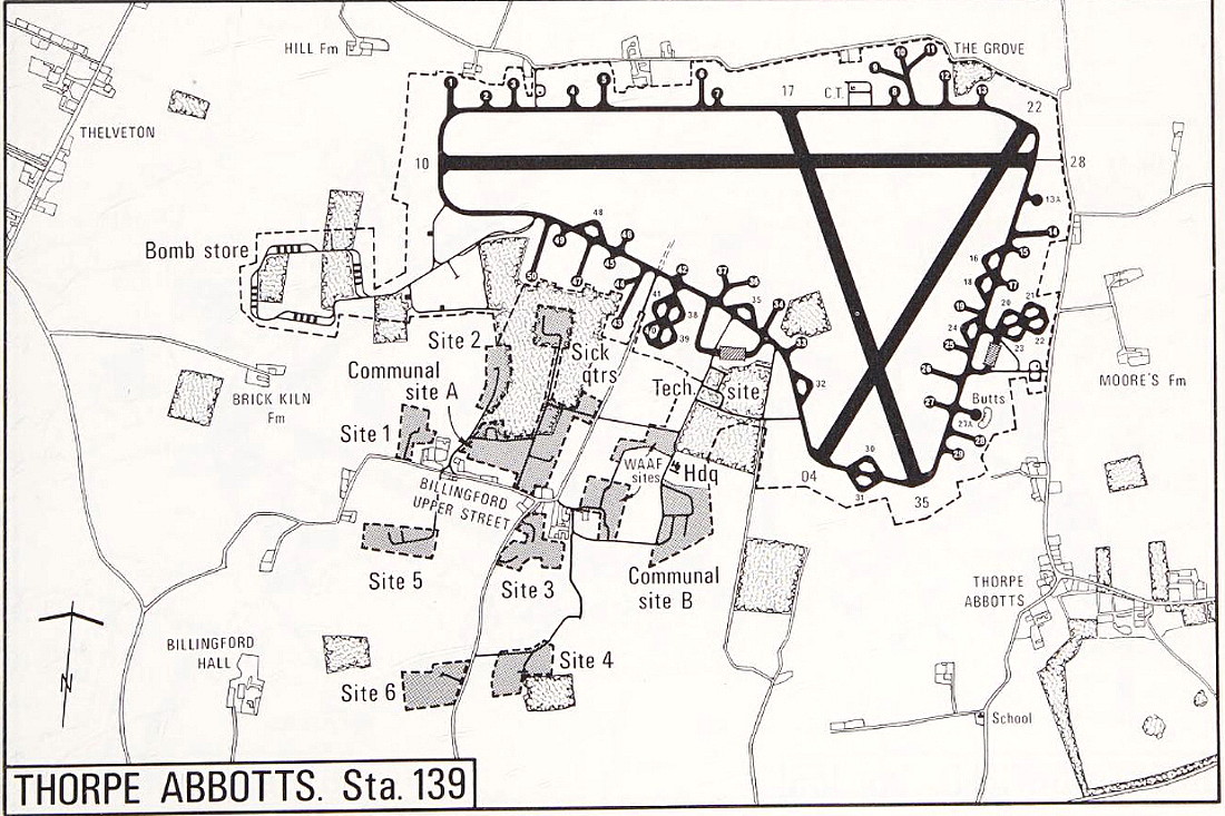
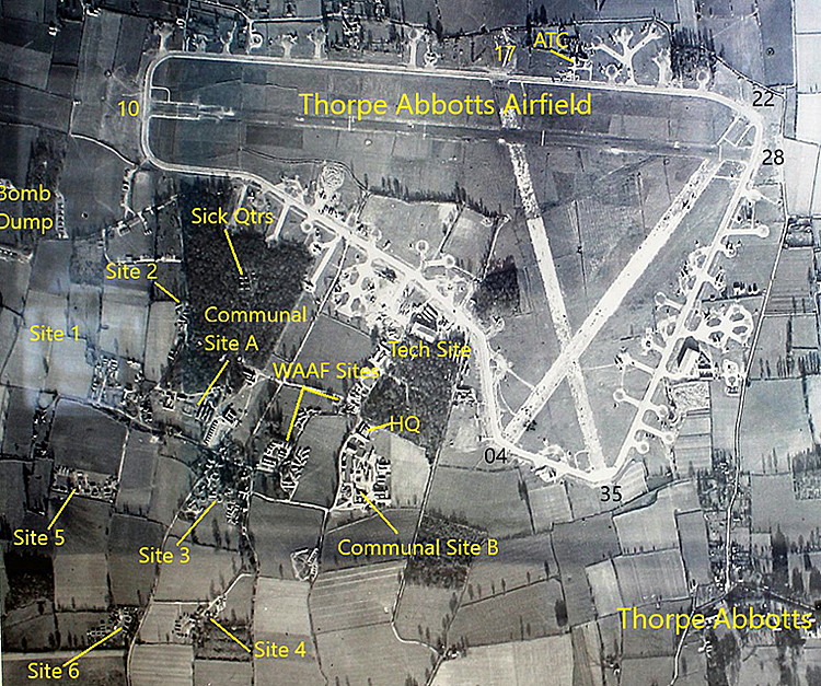
THORPE ABBOTTS: Military aerodrome later private airfield
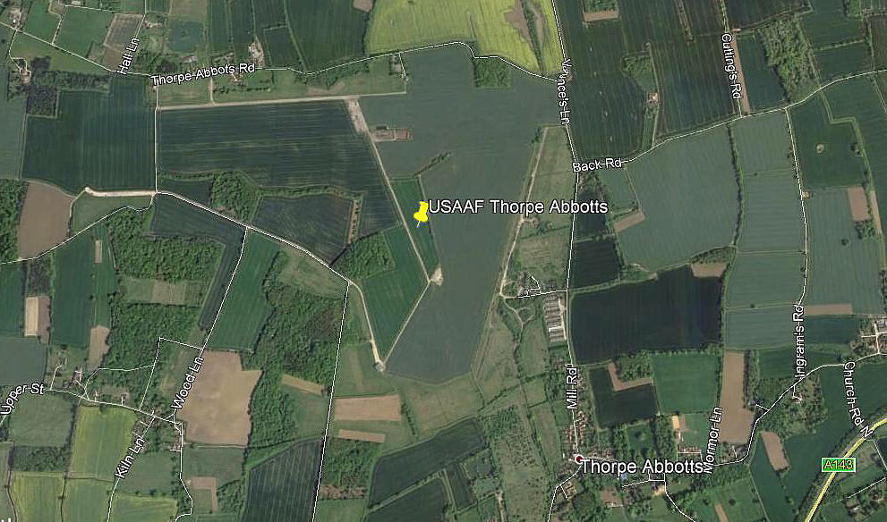
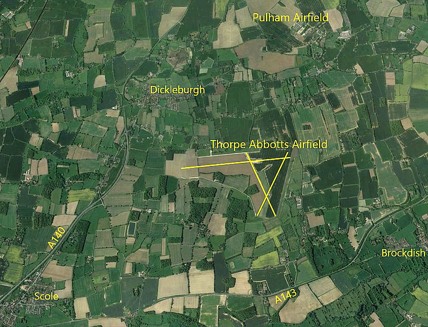
Note: The first picture (2017) was obtained from Google Earth ©. The general layout of the WW2 airfield and its runways, can just about still be discerned.
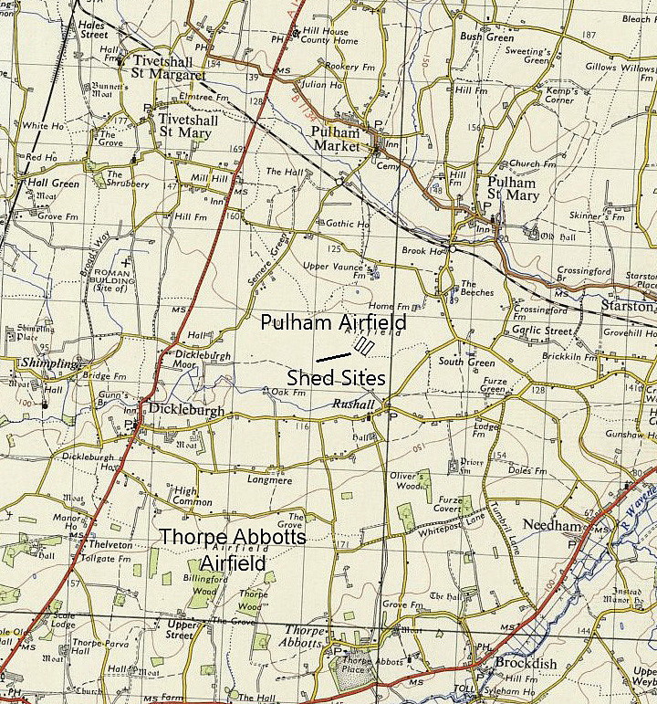
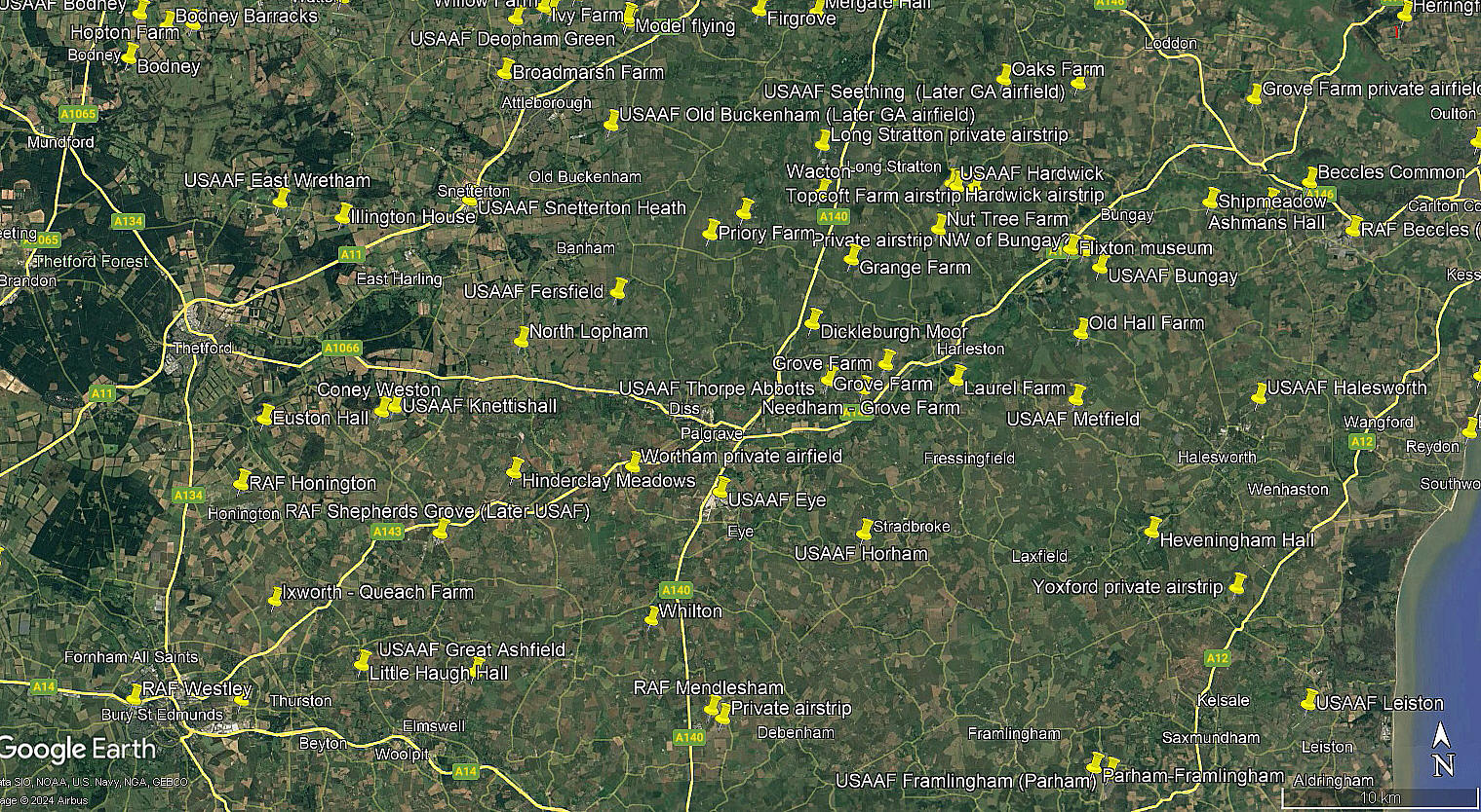
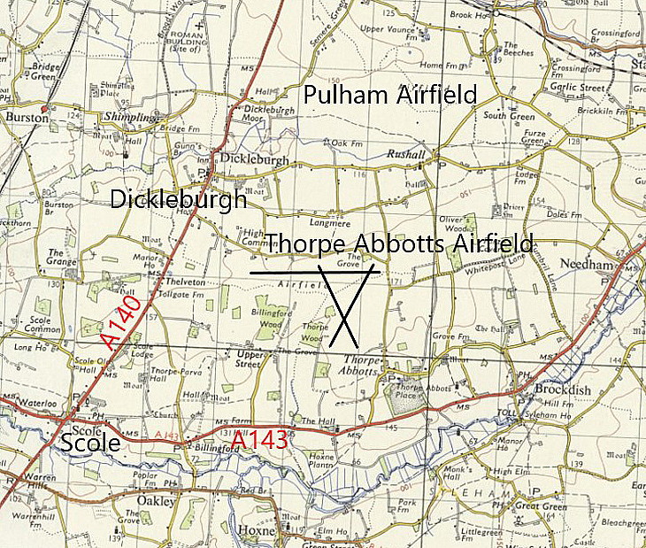
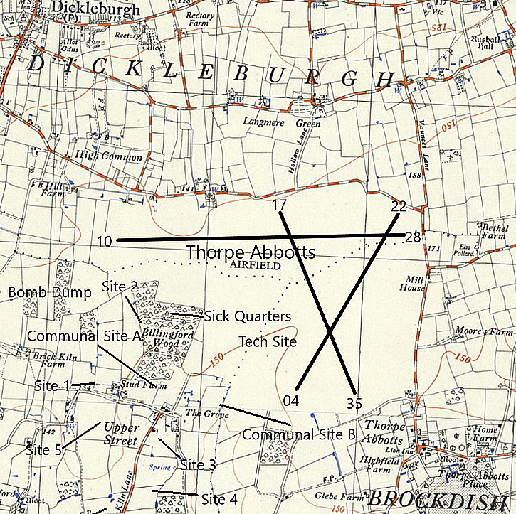
The map was kindly provided by Michael T Holder, and shows the proximity of the once famous PULHAM airship base, to the north that operated from 1916 to circa 1931. The area view is from my Google Earth © derived database.
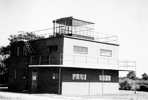
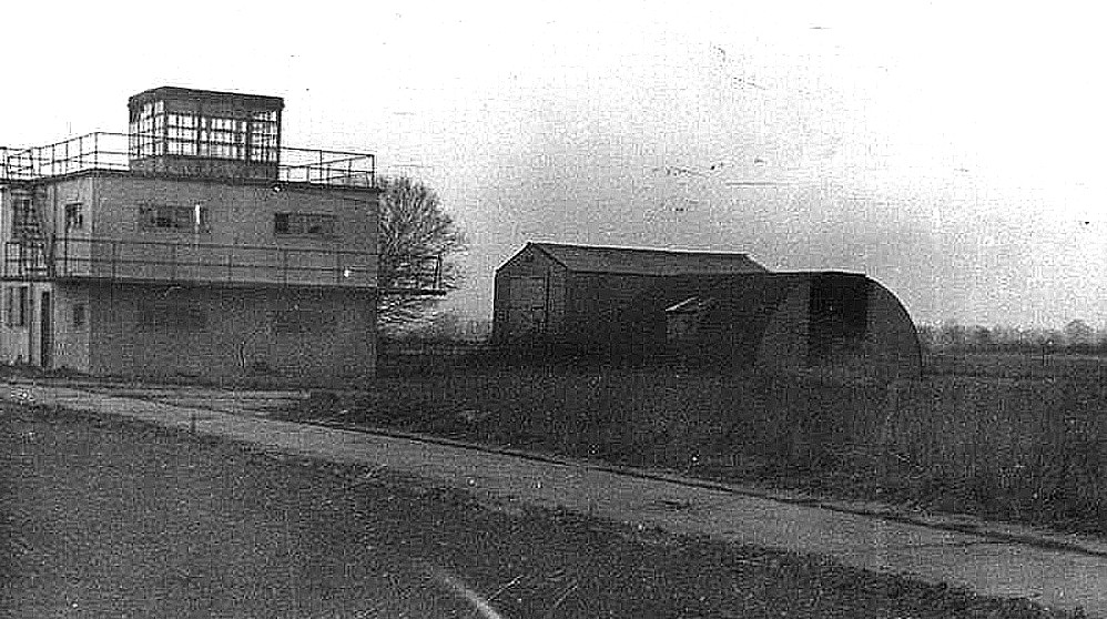
Note: This picture is a scan from a postcard, with just the simple caption, "The 100th Memorial Museum, Thorpe Abbotts". The control tower was converted into a museum in 1977, which suggests some forward thinking people being involved. And I suppose, being a modest black & white image, perhaps this image dates back to the early days of the museum?
Military user: WW2: 8th USAAF 13th Bombardment Wing 100th Bomb Group
349, 350, 351 & 418 Sqdns (Boeing B-17 Flying Fortress)
Location: E of A140, NW of Thorpe Abbotts, 4nm E of Diss
Period of operation: Military: 1943 to 1956 Civil: 1980s only?
Runways: WW2: 09/27 1920x46 hard 17/35 1280x46 hard
04/22 1280x46 hard
A MICHAEL T HOLDER GALLERY
We have Mike Holder, a great friend of this 'Guide', to thank for providing the following items.
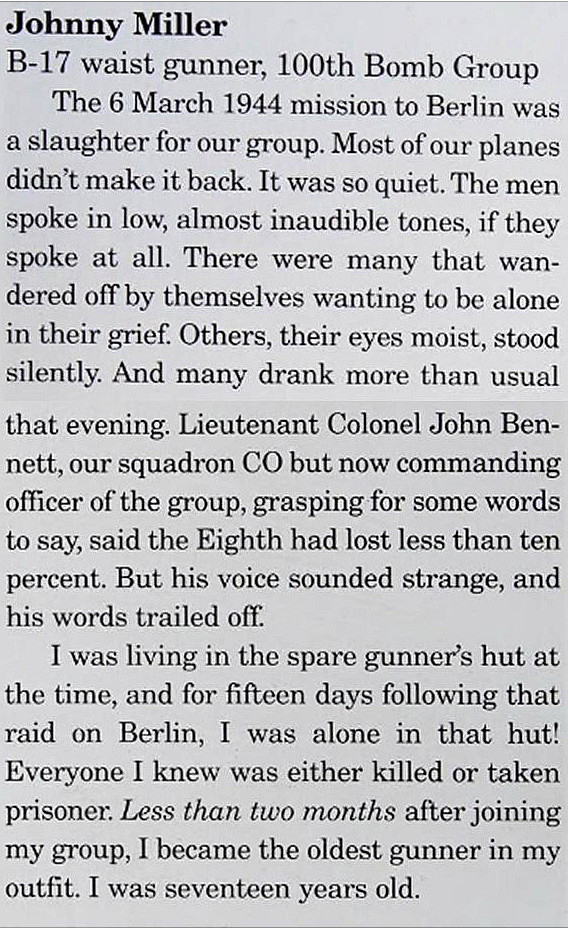
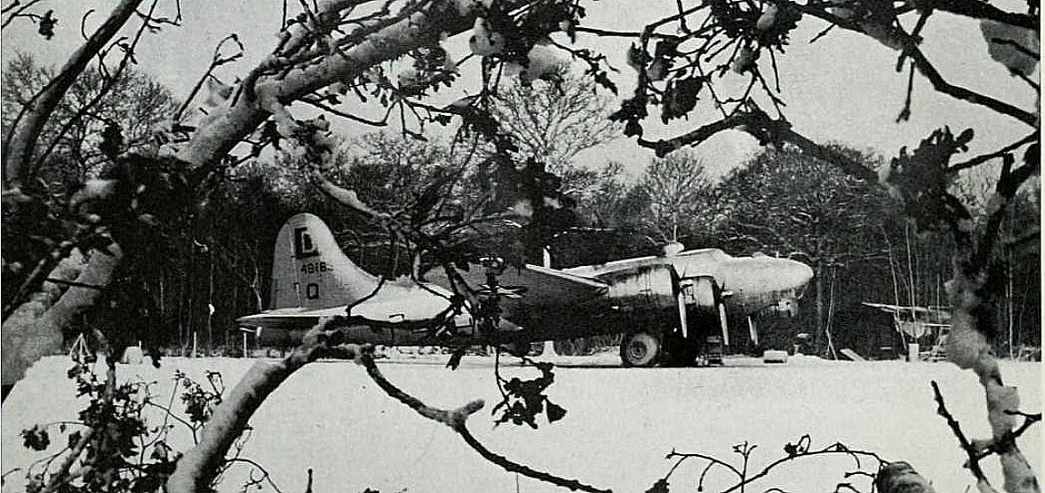
The "Gunners Tale" excerpt is from Bombers of WW11 by Jeffrey L Ethell. The snow covered B-17G, 44-8183, taken in the winter of 1944/45 is from the 100th Bomb Group Museum.
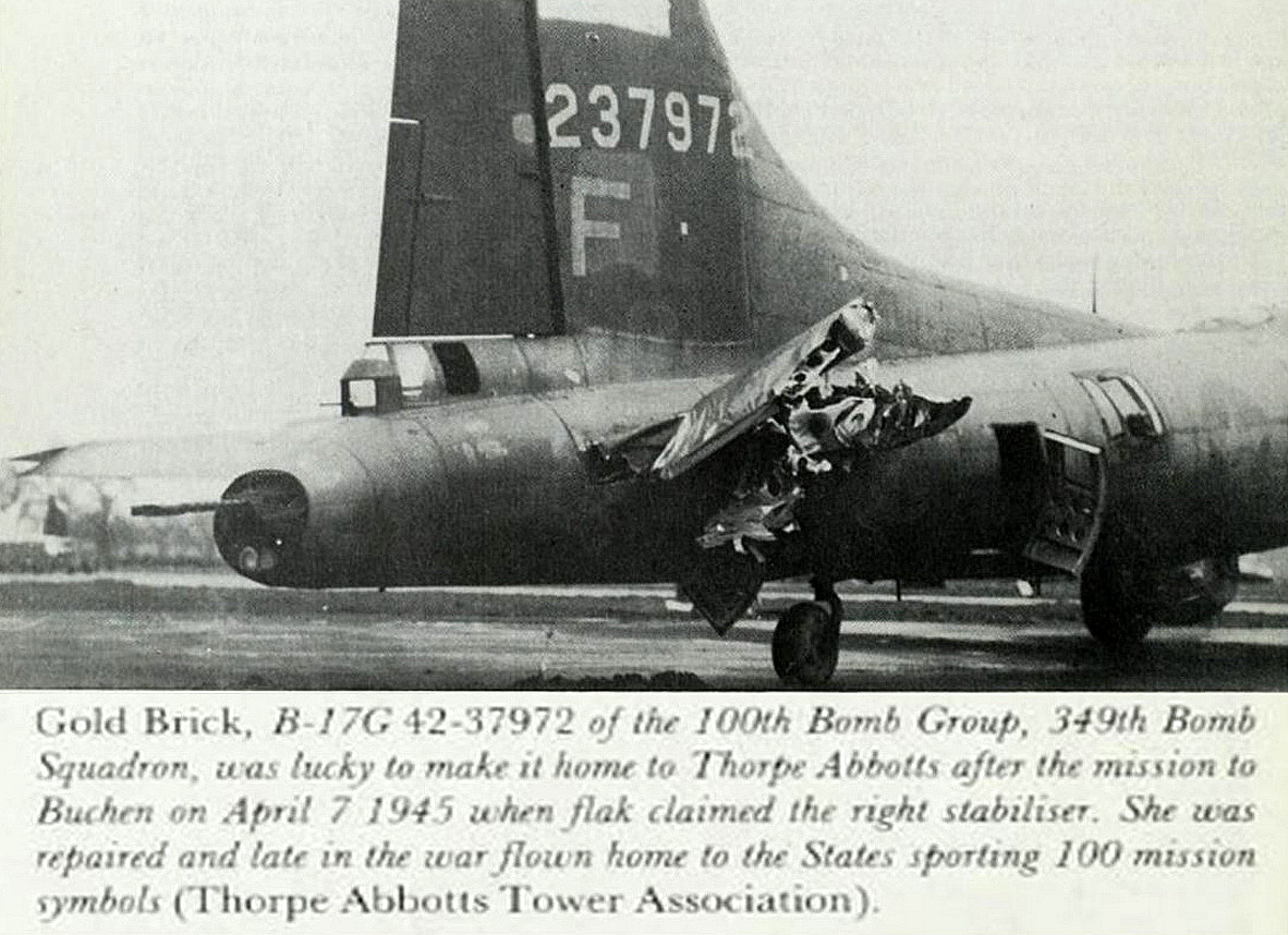
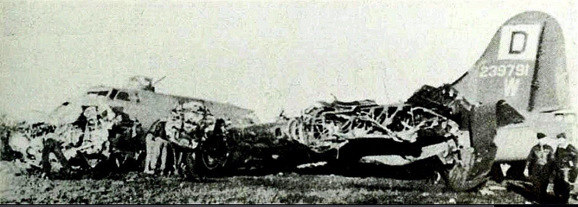
THE AMOUNT OF DAMAGE A BOEING B-17 FLYING FORTRESS COULD TAKE, WITHOUT BEING WRITTEN OFF AND THEN REPAIRED IS TRULY ASTONISHING, AND OF COURSE, HOW ONE COULD KEEP FLYING!
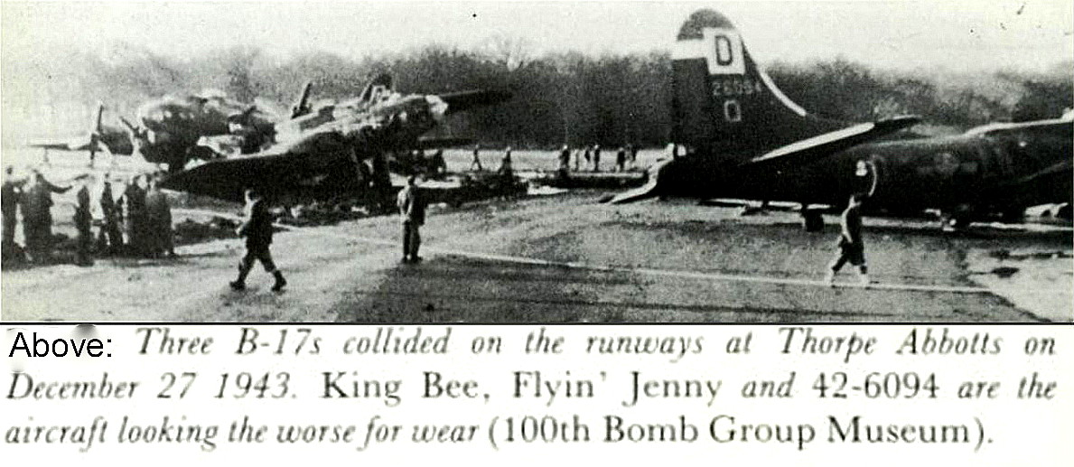
There were occassions when sometimes the ingenuity and resourcefulness of the ground crews really could do almost nothing.
As portrayed in this third picture when the B-17G, 42-39791 "Fletcher's Castoria" came to grief . But, I expect, quite a few components were retrieved?
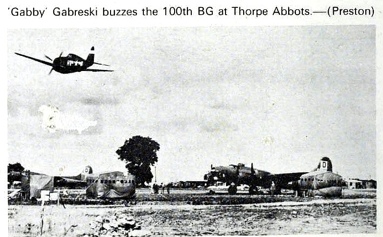
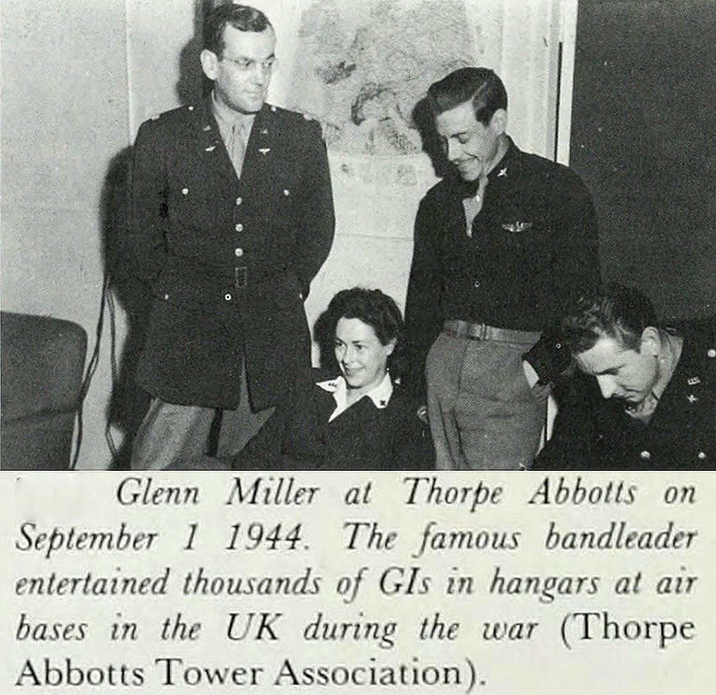
Regarding the first picture, what are those roughly egg-shaped constructions? Shelters for ground crews perhaps? Regarding the Glenn Miller caption, can airmen be desribed as "G.I.'s?"
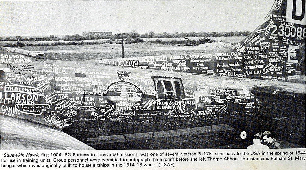
Isn't the the picture of 'Sqwarkin Hawk' amazing. I am certain I have never seen anything even remotely like it before.
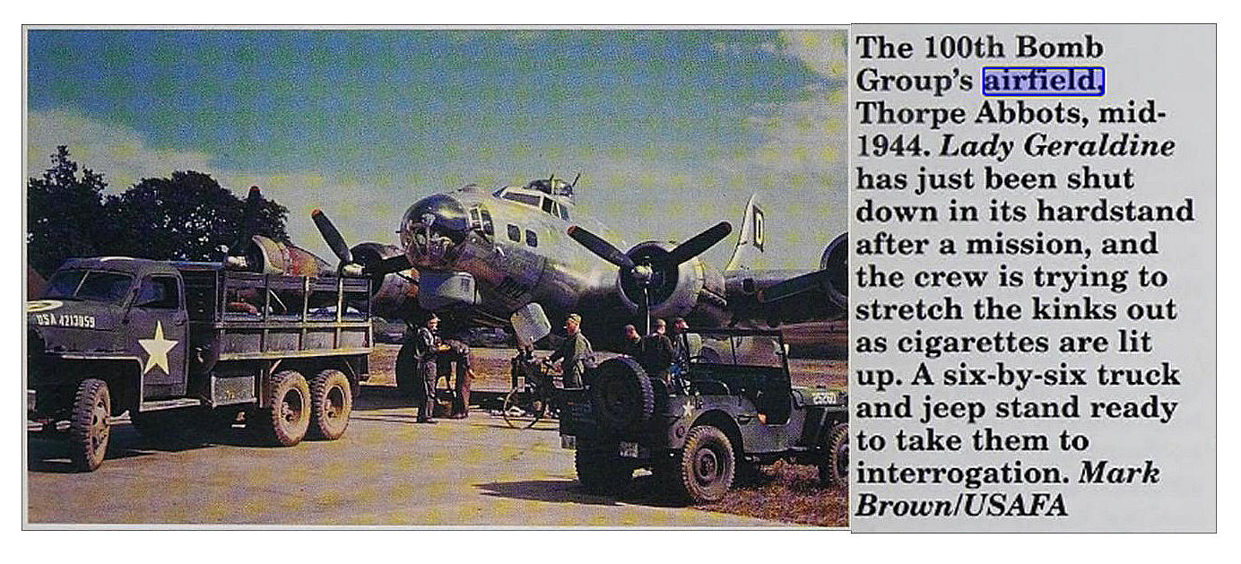
The picture of 'Lady Geraldine' is from Bombers of WWII by Jeffrey L Ethell. The Control Tower picture is from the American Air Museum.
NOTES: In late 1944 the PULHAM airship sheds were still listed as a landmark. In 2004 the control tower at least was still standing. In 1977 just one aeroplane was listed as based here: The Piper PA-28-180F Cherokee, G-AZLN.
We'd love to hear from you, so please scroll down to leave a comment!
Leave a comment ...
Copyright (c) UK Airfield Guide


