Tilshead flying sites
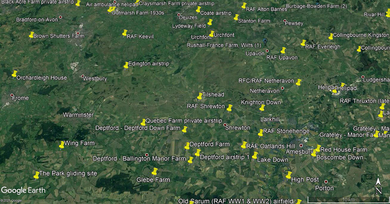
Note: This map only shows the position of Tilshead village within the UK.
TILSHEAD see also WESTDOWN MILITARY CAMP
TILSHEAD: Military airfield or Landing Ground (Aka SHREWTON)
Military users: WW1: RAF Temporary School 1918
Note. I think this WW1 site was MARKET LAVINGTON?
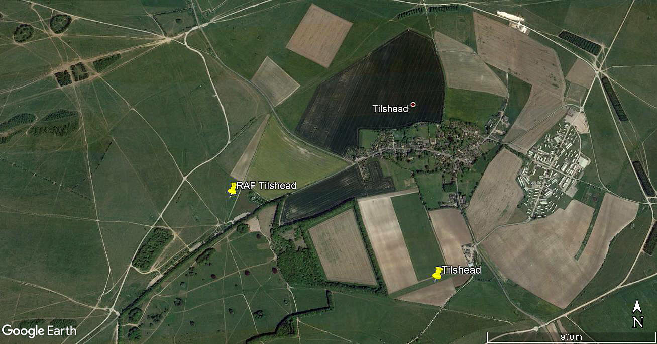
Note: This picture of the WW2 location was obtained from Google Earth ©
WW2: 1940:
16 Sqdn (Westland Lysanders) Detached from WESTON ZOYLAND in SOMERSET
Army Co-operation
225 Sqdn (Westland Lysanders)
Later: US First Army ‘VII’ Corps 188th Field Artillery Group
Location: Just WSW of Tilshead village on the A360, roughly 8nm S to SSE of Devizes town centre
Period of operation: 1918
Note. Probably the MARKET LAVINGTON site?
1925 to 1941
NOTES: Two Piper L-4 Grasshoppers were based here in late WW2.
In July 1926 a DH.9a of 2 Sqdn crashed here it seems. It certainly doesn’t follow that exactly the same locations were used in WW1 and WW2 and perhaps the DH.9a crash was purely coincidental and nearby? However, in October 2020 I was kindly contacted by Alan Eyre who pointed out that 2 Sqdn didn't fly the DH9a but had Bristol F2b Fighters instead. He also points out that the F2b J6794 is listed as having crashed at TILSHEAD. Either here, or at least in the vicinity.
TILSHEAD: Private airstrip
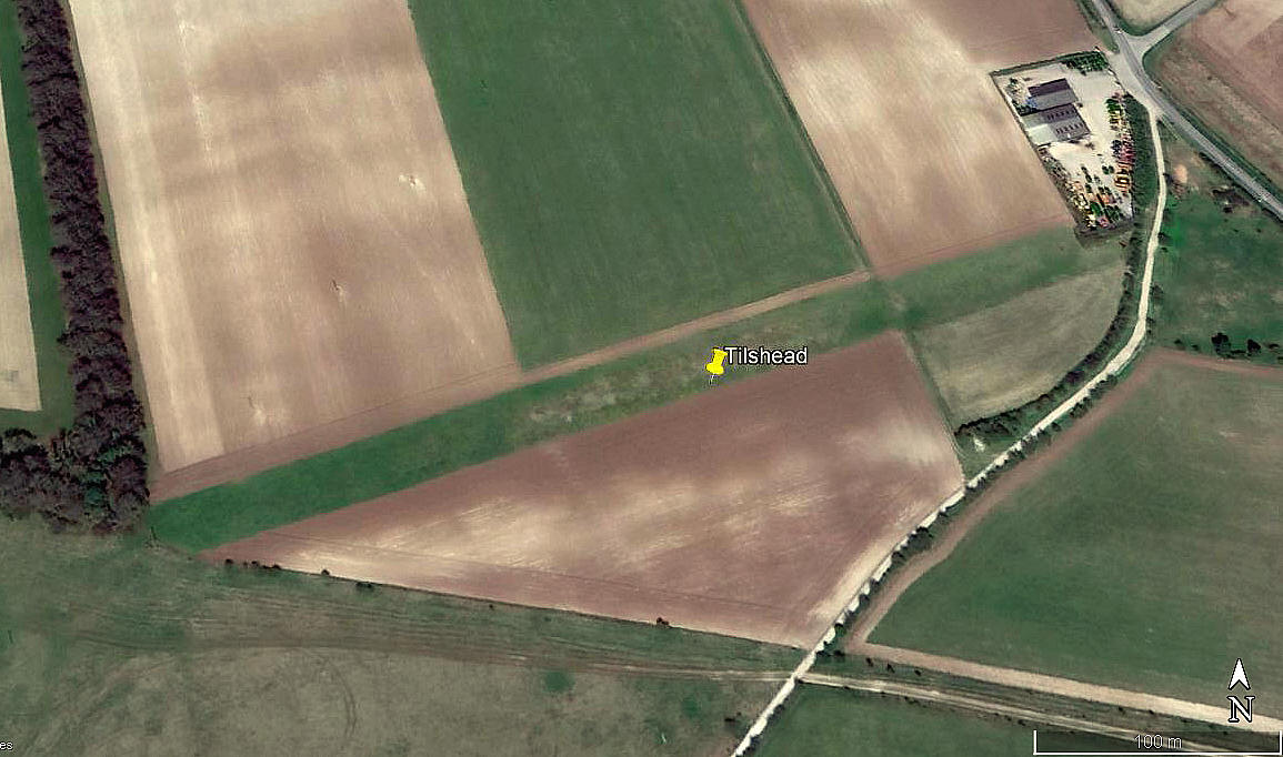
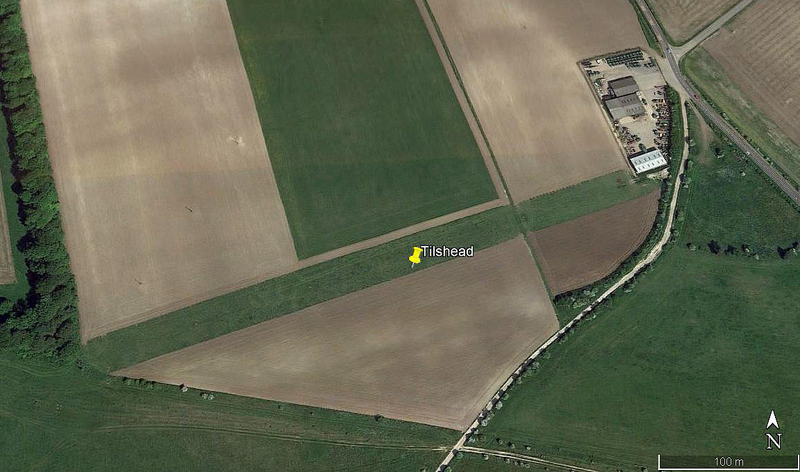
Note: All three of these pictures were obtained from Google Earth ©
Location: Just W of the A360 and just S of Tilshead village. 8nm SSE of Devizes town centre
Period of operation: Not known exactly. (Perhaps c.2009?) To -
Runway: 07/25 450 grass
NOTES: We have Mr Graham Frost to thank for pointing out this airstrip, a great friend of this 'Guide'. As always, if anybody can kindly offer advice and information, this will be most welcome.
We'd love to hear from you, so please scroll down to leave a comment!
Leave a comment ...
Copyright (c) UK Airfield Guide


