Wendling
WENDLING: Military aerodrome
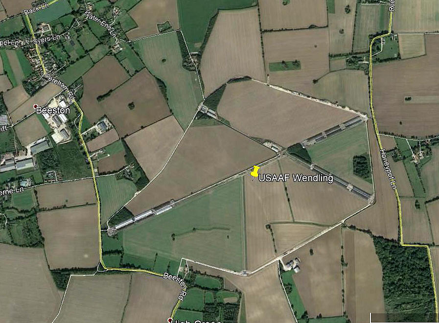
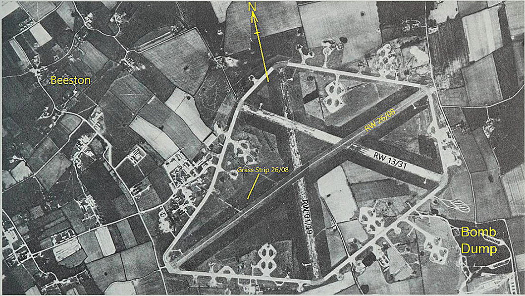
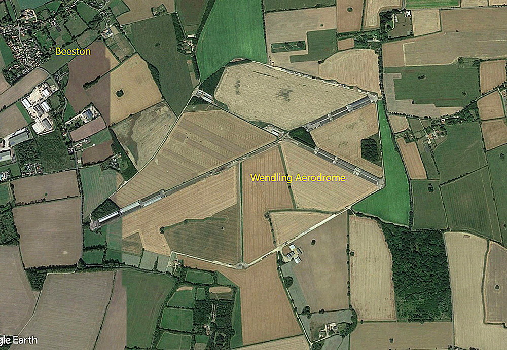
Note: This picture (2018) was obtained from Google Earth ©
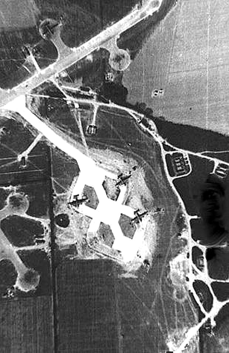
Another example of a WW2 airfield, the extent of which can still be clearly seen seventy years later.
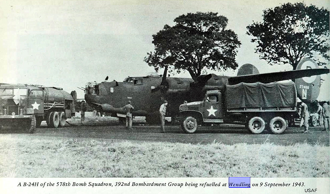
Military user: WW2: 8th USAAF 14th Bombardment Wing 392nd Bomb Group
576, 577, 578 & 579 Sqdns (Consolidated B-24 Liberators)
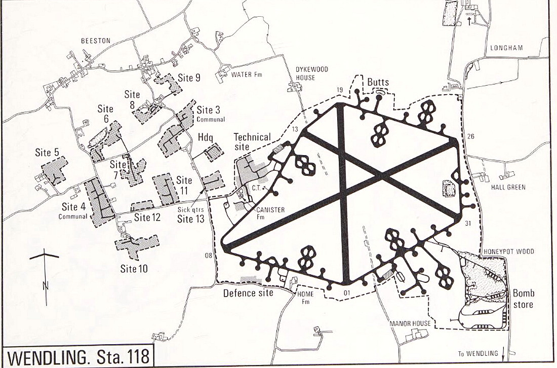
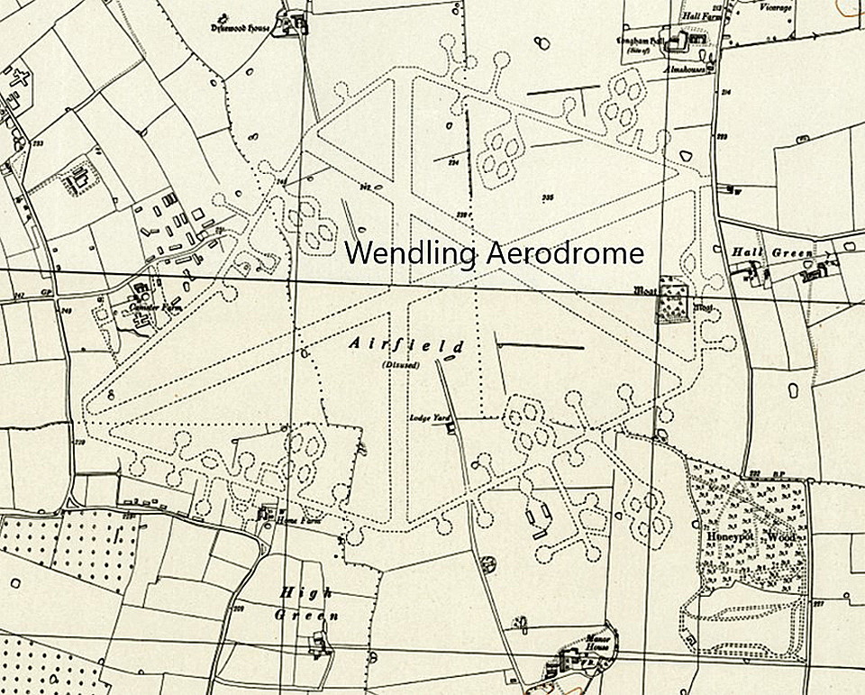
Note: This map was obtained from the Mighty Eighth War Manual © by Roger A Freeman
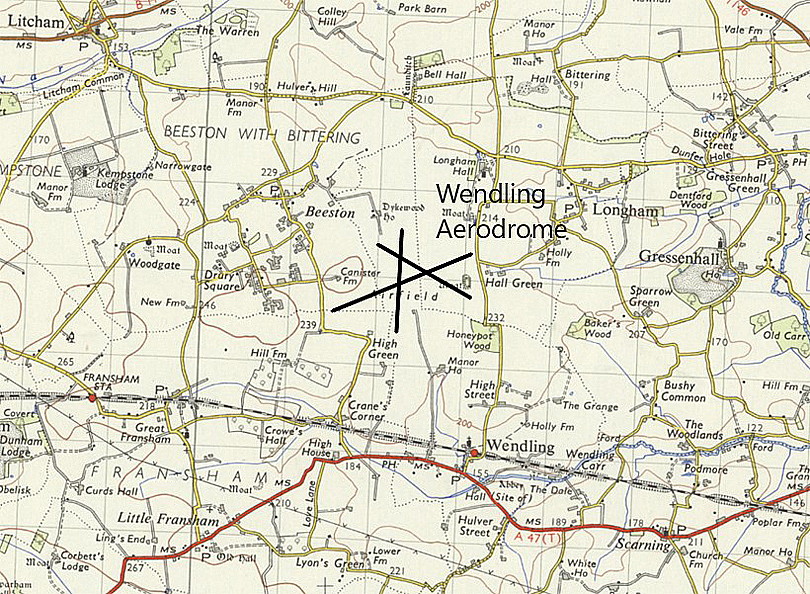
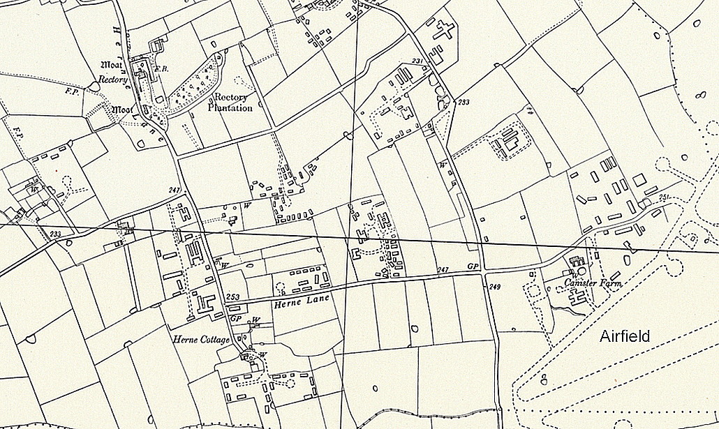
Location: SE of Beaston, E of Drury Square, WSW of Longham, 4nm WNW of East Dereham
Period of operation: 1942 to 1961 only?
Runways: WW2: 08/26 1280x46 hard 01/19 1289x46 hard
13/31 1280x46 hard
A MICHAEL T HOLDER GALLERY
We have Mike Holder, a great friend of this 'Guide', to thank for investigating what can be found to illustrate this listing.
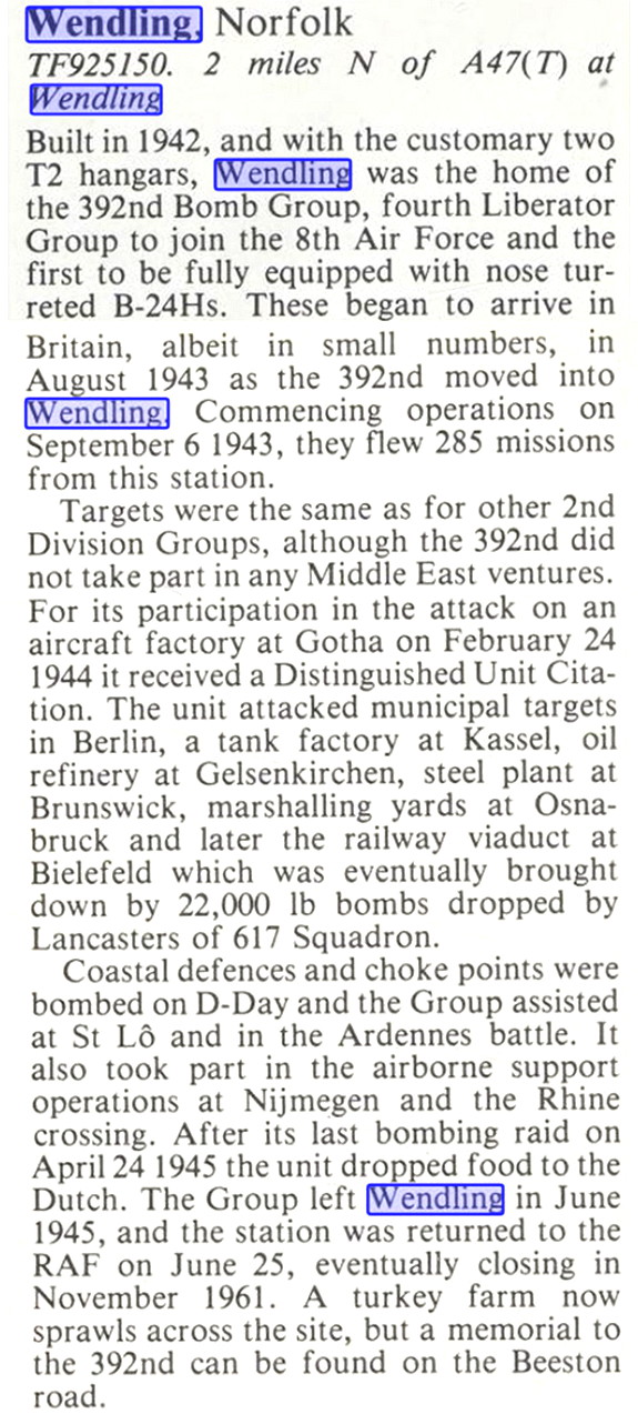
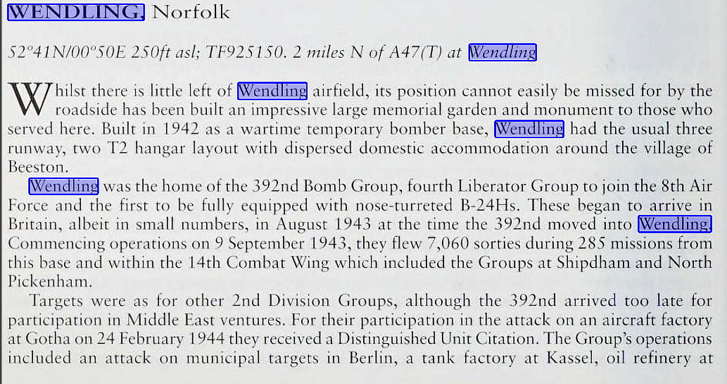
The excerpt is from Action Stations 1 by Michael J F Bowyer
The article in two parts is from Action Stations Revisited by Michael J F Bowyer.
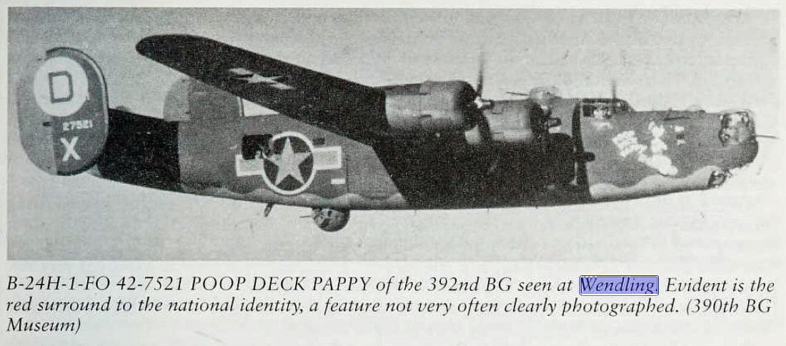
I find it interesting that the USAAF Boeing B-17 Flying Fortress and the Consolidated B-24 Liberator is mirrored almost exactly with, in the RAF, the Avro Lancaster and the Handley Page Halifax. These days virtually all the "glory" goes to the B-17 Flying Fortress and the Lancaster, the Liberator and Halifax playing 'second fiddle' roles.
In one aspect it is easy to compare the RAF types in as much as 7,377 Lancasters were built as opposed to 6,178 Halifax's.I have tried and failed miserably to determine how many B-17s and B-24s the USAAF employed in the UK. It appears that 12,731 B-17s were built, but, 18,188 B-24s. This picture being much distorted because the B-24 had so many variants, including many for the U S Navy. One thing appears certain though, and this is that the USAAF were operated a great many B-24s in the UK.
It is of course important to remember that the USAAF bombers, conducting daylight raids, suffered horrendous losses before the long range fighter escorts came along. The North American P-51 Mustang especially, which initially was a poor performer until re-engined with Rolls-Royce Merlins.
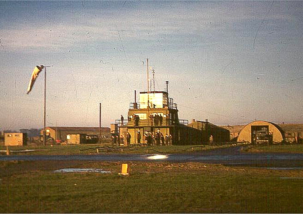
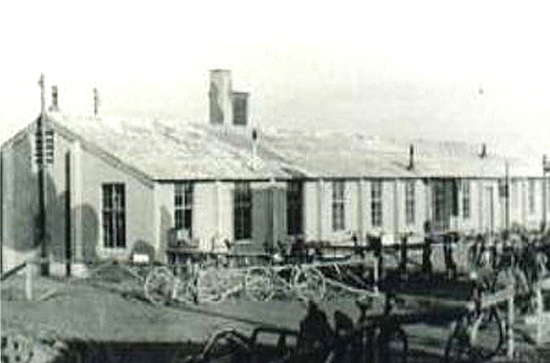
The photo is of the Combat Officers Mess. Quite a luxury compared to so many equivalent RAF Stations stumped up quickly during WW2.
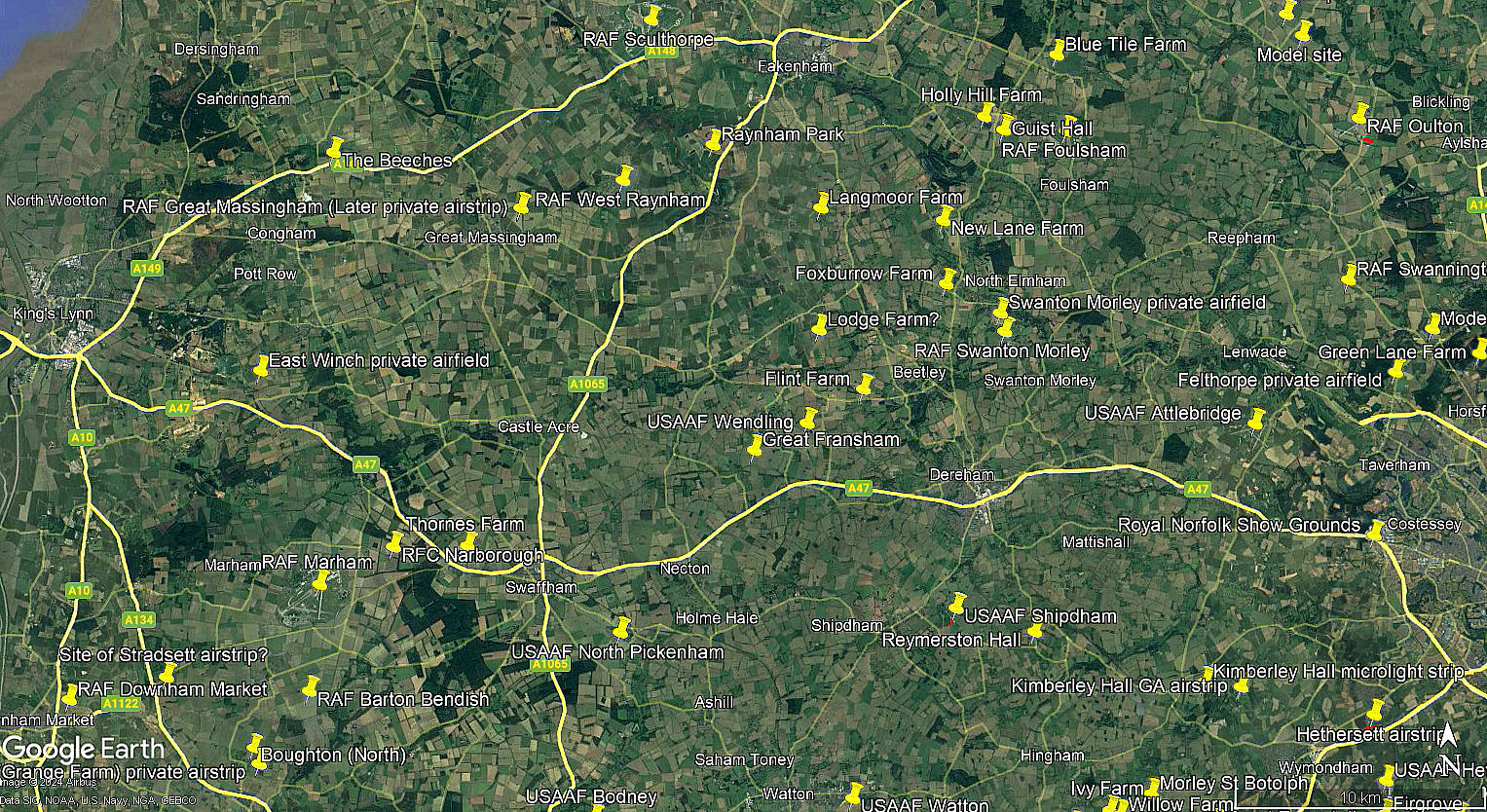
The local area map is from my Google Earth © derived database:
I still find it of great interest to learn about how things were arranged for the USAAF once they arrived in our green and septic isle. They being given the prime sites especially regarding average weather conditions, shortest flying distances and local facilities.
The bulk of RAF Bomber Command were banished north, to Lincolnshire and the southern parts of Yorkshire. Much more susepitible to fog for two main reasons. Happens here naturally nearer the coast, but more importantly with our prevailing winds, having all the deliberately increased coal fired pollution, (even though the risk of being bombed had largely then disipated), from the industrial areas in the Midlands and of course, the central northern areas, from Liverpool via Manchester, Sheffield and Leeds etc.
It can almost reduce me to tears thinking about it. Mostly flying at night the RAF aircrews suffered a terrible attrition rate both going to and then bombing cities which was a huge mistake. Bomber Harris had clearly learnt nothing about how resilent the civilian population can be, and, this was just after the failed Blitz regime on our cities. And then the poor sods, if they survived, so often had the prospect of trying to land back, often with damaged aircraft and casualties, in minimal to nigh on blind visibility. Many losing their lives in the attempt.
NOTE: I have found a reference to the RFC using WENDLING in WW1 which I assume is spurious - but is this actually the case?
We'd love to hear from you, so please scroll down to leave a comment!
Leave a comment ...
Copyright (c) UK Airfield Guide


